MyTopo
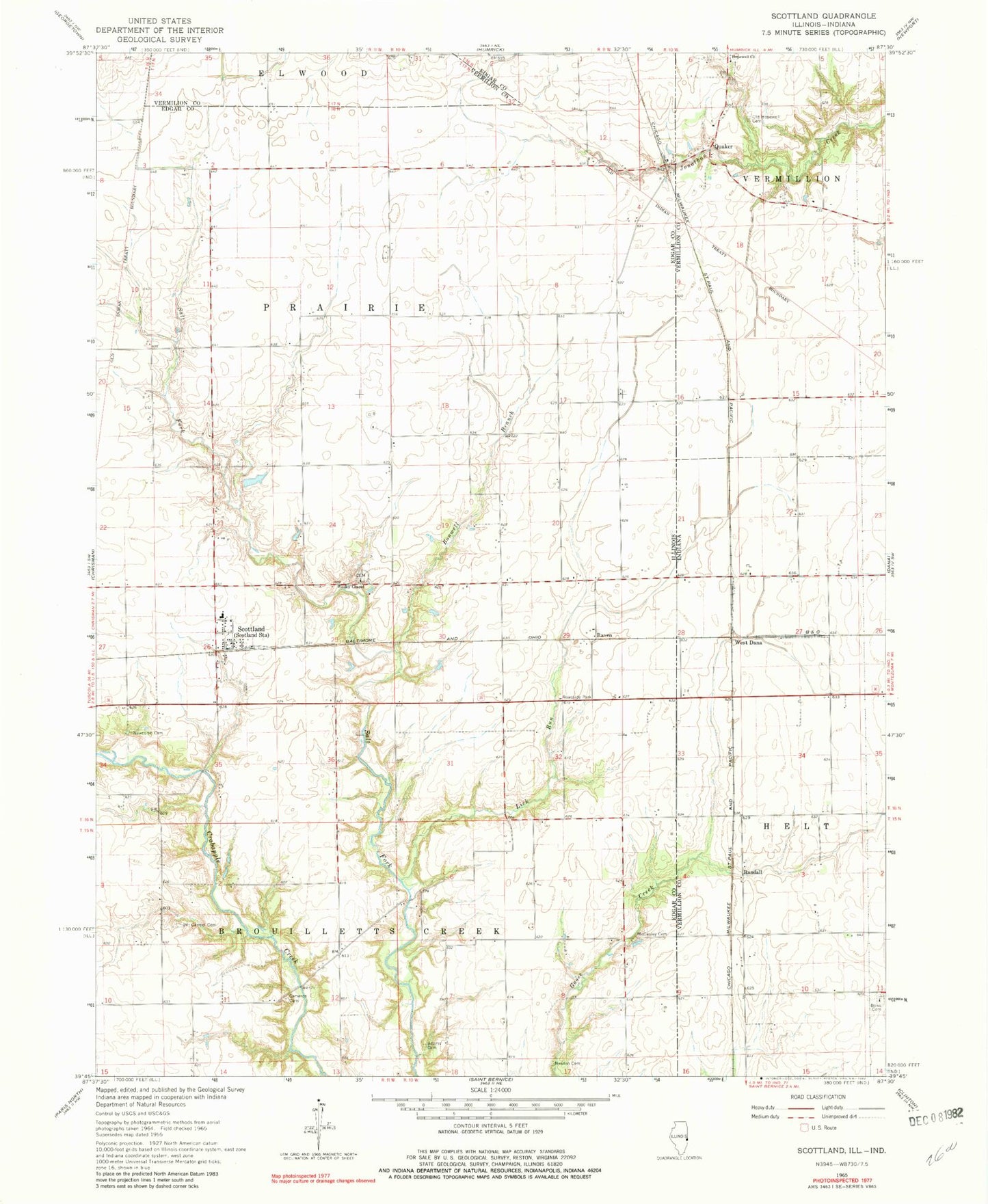
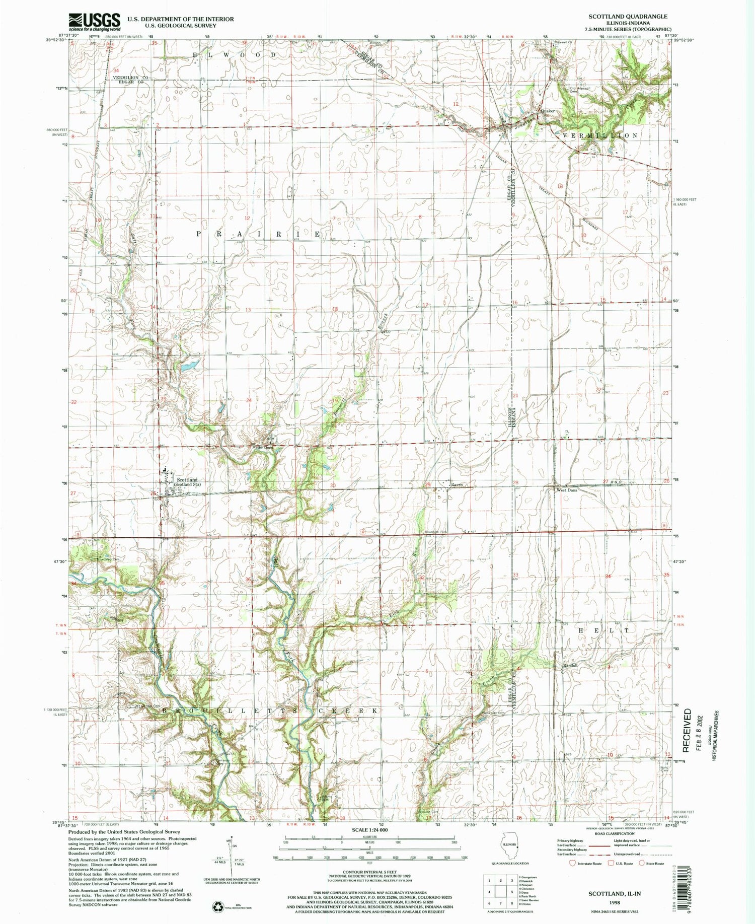
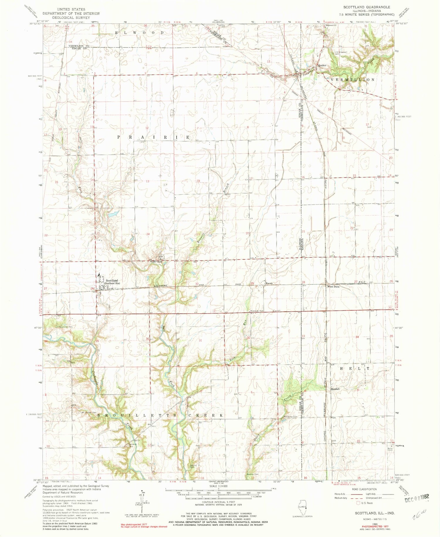
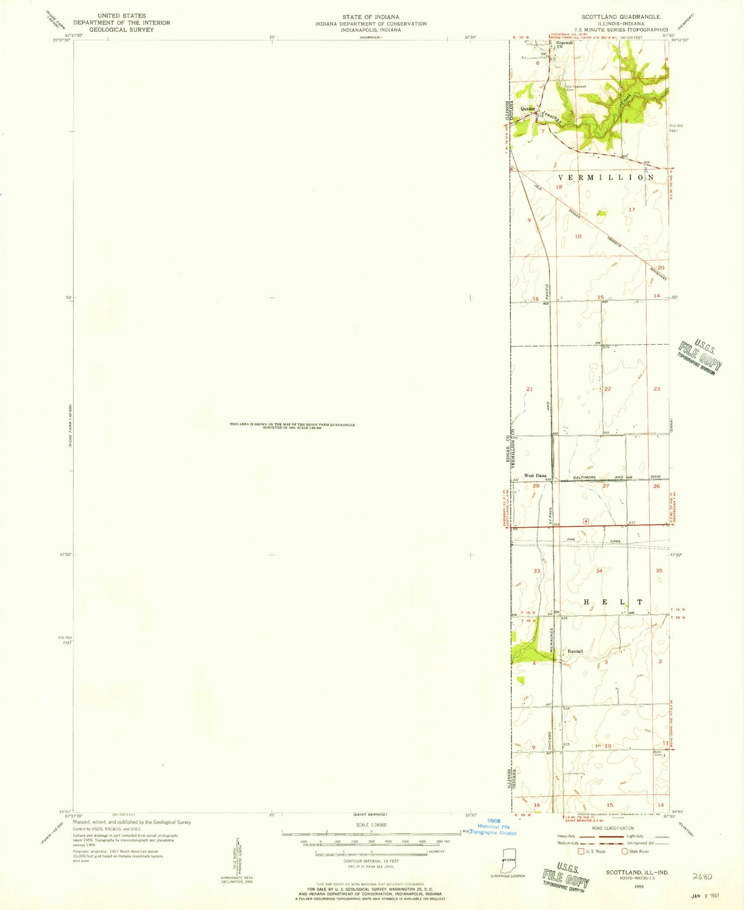
Classic USGS Scottland Illinois 7.5'x7.5' Topo Map
Couldn't load pickup availability
Historical USGS topographic quad map of Scottland in the states of Illinois, Indiana. Map scale may vary for some years, but is generally around 1:24,000. Print size is approximately 24" x 27"
This quadrangle is in the following counties: Edgar, Vermilion, Vermillion.
The map contains contour lines, roads, rivers, towns, and lakes. Printed on high-quality waterproof paper with UV fade-resistant inks, and shipped rolled.
Contains the following named places: Adams Cemetery, Bono Cemetery, Bonwell Branch, Bonwell Post Office, Cameron Cemetery, Excelsior School, Hopewell Church, Illiana, Jonathan Creek, Legg School, Lick Run, Manley School, Mccauley Cemetery, Mount Carmel Cemetery, Mount Carmel School, Newcomb Cemetery, Newton Cemetery, Old Hopewell Cemetery, Quaker, Quaker Hill School, Randall, Raven, Rowe Airport, Scott School, Scottland, Township of Brouilletts Creek, Township of Prairie, Victor School, Watertown School, Wesley Chapel, Wesley Chapel Cemetery, West Dana