MyTopo
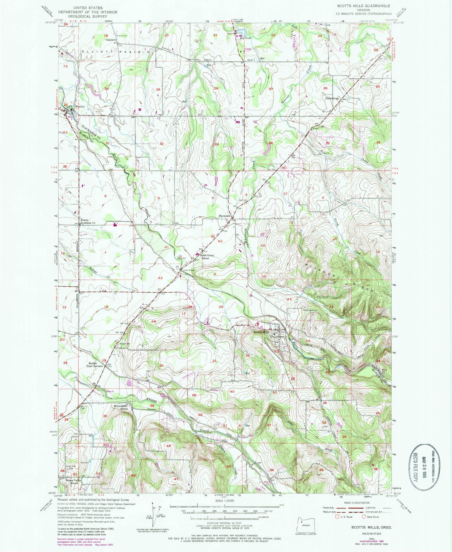
Classic USGS Scotts Mills Oregon 7.5'x7.5' Topo Map
Couldn't load pickup availability
Historical USGS topographic quad map of Scotts Mills in the state of Oregon. Map scale may vary for some years, but is generally around 1:24,000. Print size is approximately 24" x 27"
This quadrangle is in the following counties: Clackamas, Marion.
The map contains contour lines, roads, rivers, towns, and lakes. Printed on high-quality waterproof paper with UV fade-resistant inks, and shipped rolled.
Contains the following named places: Alder Creek, Butte Creek, Butte Creek Post Office, Butte Creek School, Chapel of The Holy Family and Retreat House at Saint Nicholas Ranch, City of Scotts Mills, Comer Creek, Davis Creek, Dobbes Lake, Drescher Reservoir, Dunagan Bridge, Evans Valley, Evans Valley School, Garret Creek, Glad Tidings Post Office, Gladtidings, Goschie Farms, Harding, Hartman Dam, Jacks Bridge, Kaiser Creek, Loes Reservoirs, Log Pond, Lone Pine Corner, Maplewood Pioneer Cemetery, Marquam, Marquam Creek, Marquam Post Office, Marquam Reservoir, Marquam United Methodist Church, McLaughlin School, Meridian Post Office, Mill Creek, Miller Cemetery, Monitor, Monitor Bridge, Monitor Elementary School, Monitor Post Office, Monitor Rural Fire Protection District Station 58, Monte Cristo, Noble, Noble Post Office, Nowlen Bridge, Oaklawn, Orr Creek, Powers Creek, Rockie Four Corners, Ross Bridge, Scotts Mills, Scotts Mills City Hall, Scotts Mills County Park, Scotts Mills Elementary School, Scotts Mills Friends Church, Scotts Mills Post Office, Silverton Fire District Station 3 Abiqua, Silverton Fire District Station 8 Scotts Mills, Spring Reservoir, Thomas Creek, Trinity Lutheran Church, Valley View Lutheran Cemetery


