MyTopo
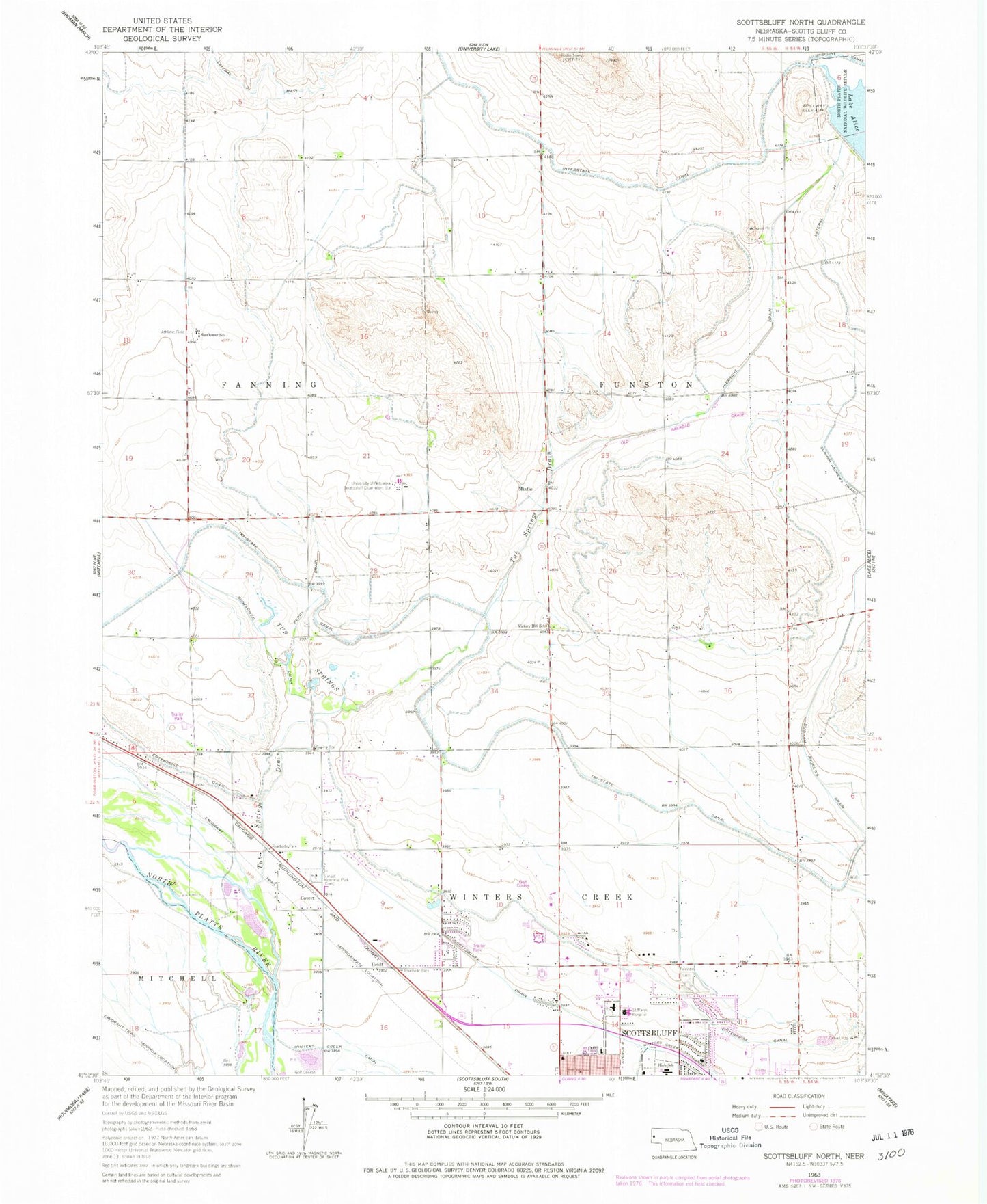
Classic USGS Scottsbluff North Nebraska 7.5'x7.5' Topo Map
Couldn't load pickup availability
Historical USGS topographic quad map of Scottsbluff North in the state of Nebraska. Map scale may vary for some years, but is generally around 1:24,000. Print size is approximately 24" x 27"
This quadrangle is in the following counties: Scotts Bluff.
The map contains contour lines, roads, rivers, towns, and lakes. Printed on high-quality waterproof paper with UV fade-resistant inks, and shipped rolled.
Contains the following named places: Air Link Air Ambulance Service, Applied Technology Addition, Babe Ruth Baseball Field, Child Development Center, Clark N Williams Multicultural Learning Center, Covert, Emmanuel Congregational Church, Enterprise Canal, Fairview Cemetery, First Baptist Church, Frank Park, Funston Election Precinct, Grace Chapel, Heldt, Hiersche Drain, King of Kings Evangelical Lutheran Church, Kingdom Hall of Jehovahs Witnesses, KSTF-TV (Scottsbluff), Lake Alice Upper Dam, Lateral 24, Medical Center Eye Clinic, Mintle, Monument Bible Church, Nebraska State Highway Patrol Troop E, Northside Mobile Home Ranch, Northwood Park, Panhandle Mental Health Center, Perry Drain, Pioneer Activity Center, Platte Valley Pediatrics, Plymouth Congregational Church, Regional West Medical Center, Regional West Medical Center Resource Library, Reisig Brothers Airport, Saint Marys Hospital, Scottsbluff Drain, Scottsbluff Internal Medicine Clinic, Scottsbluff Nursing Center, Scottsbluff/Chimney Rock KOA Campground, Seventh Day Adventist Church, Splash Arena, Sunflower Drain, Sunset Memorial Park, Terry Carpenter Park and Recreation Area, Tub Springs, Tub Springs Drain, Twenty-three Club Baseball Fields, University of Nebraska Medical Center College of Nursing - West Nebraska Division, Victory Hill School, West Winters Creek Election Precinct, Western Hearing Clinic, Western Nebraska Community College - Scottsbluff Campus, Western Nebraska Community College Library, Western Nebraska Veterans Home, Western Nebraska Veterans Home Library, Zion Evangelical Church


