MyTopo
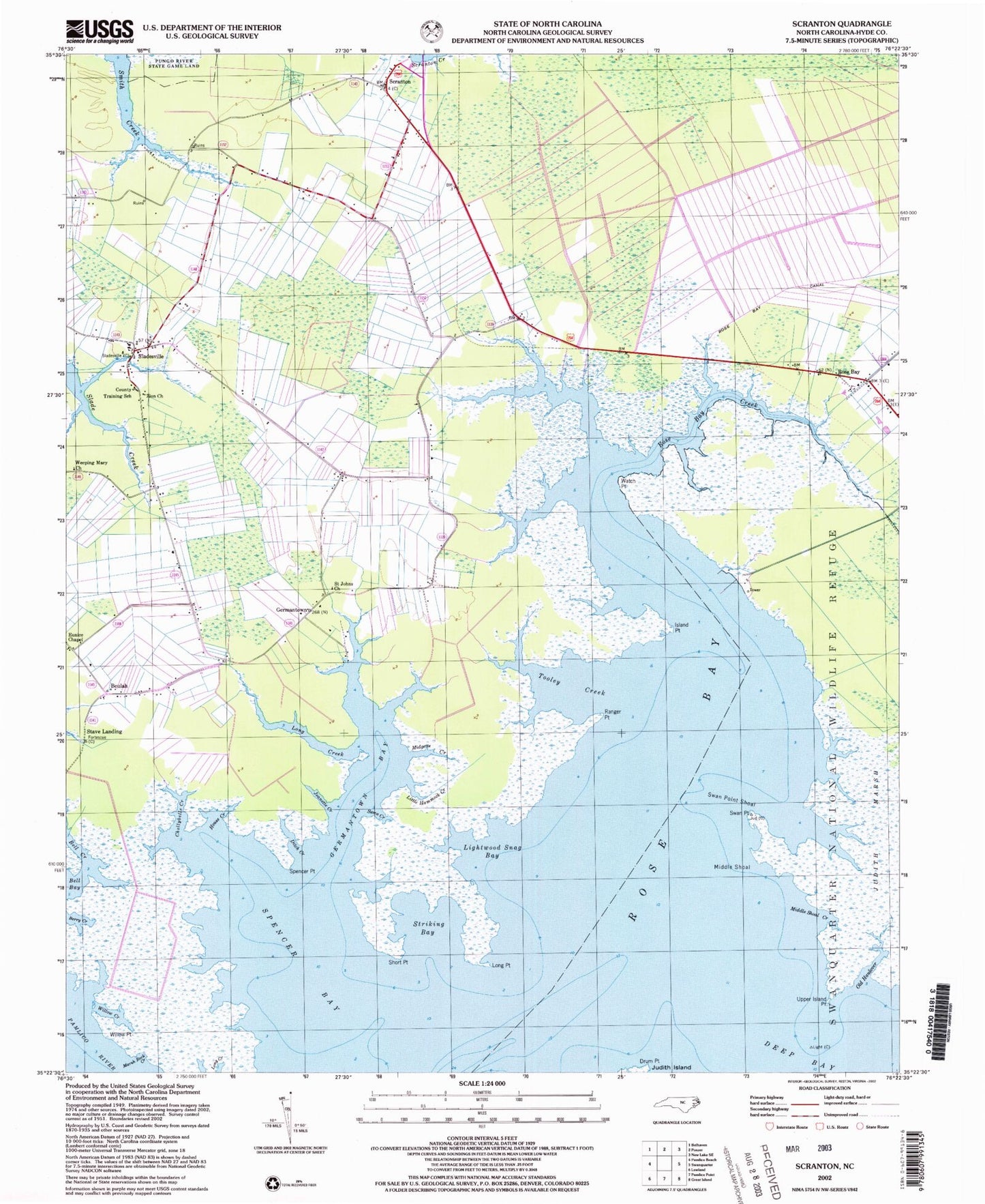
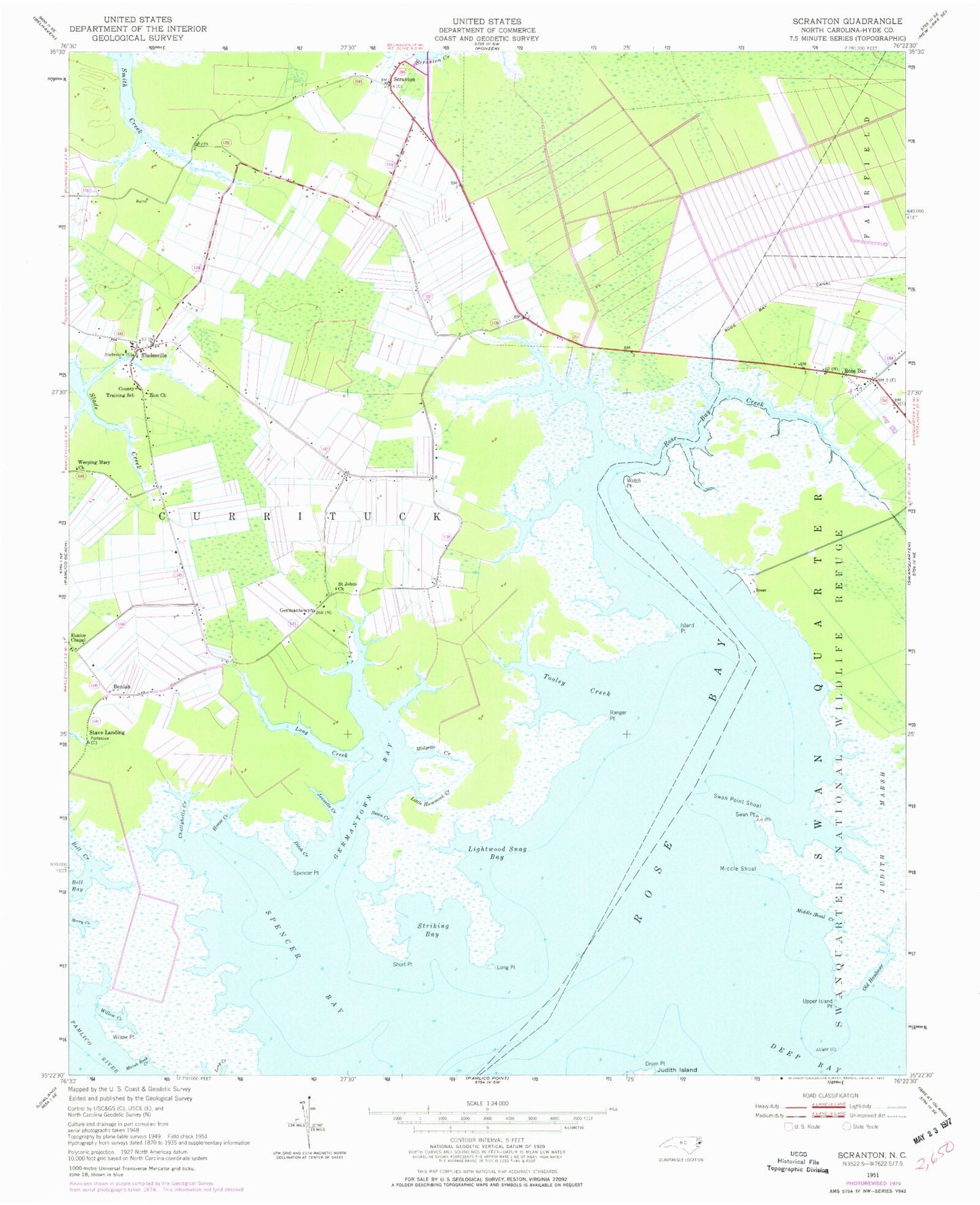
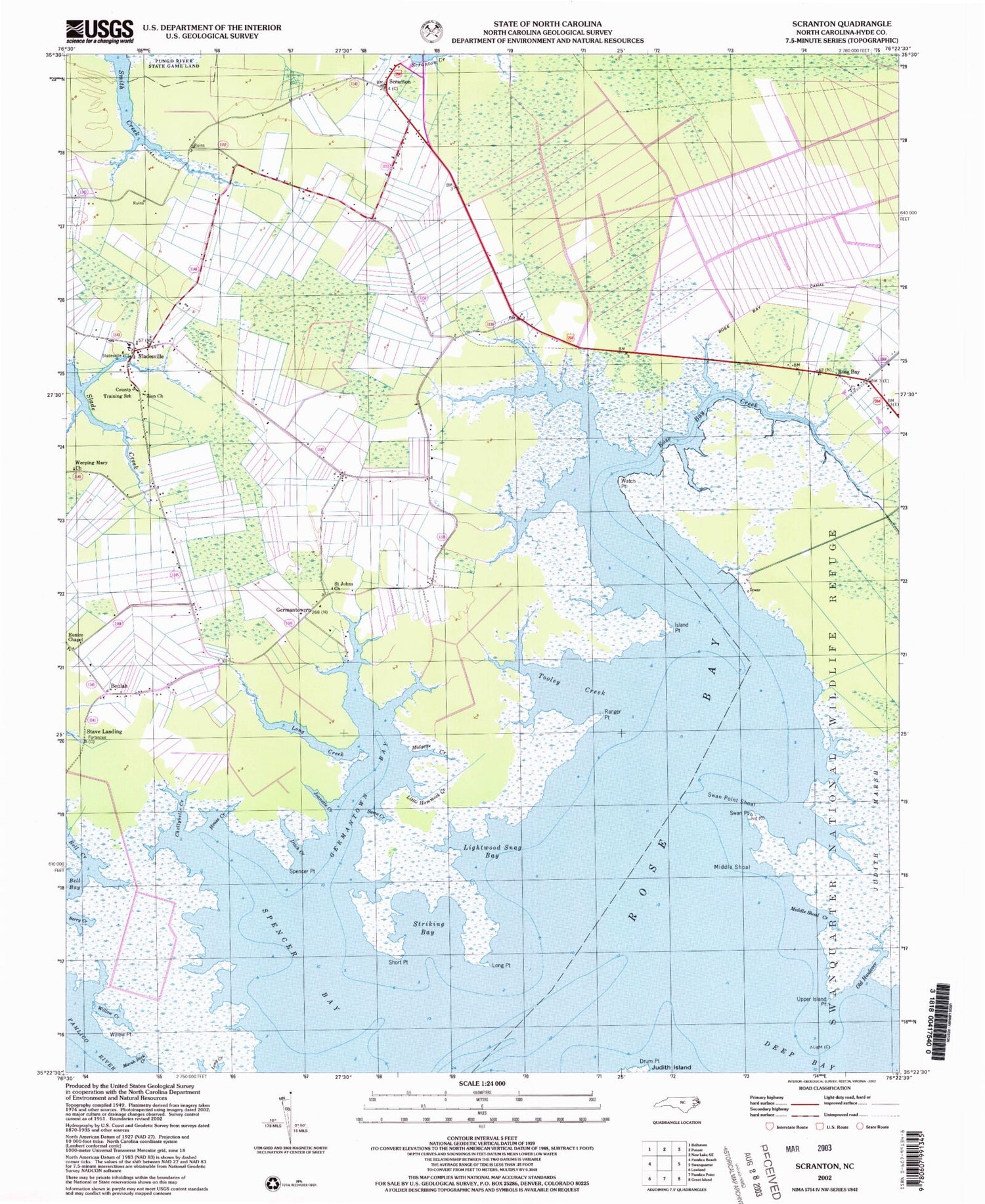
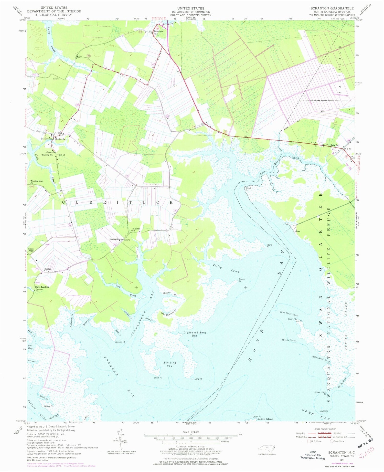
Classic USGS Scranton North Carolina 7.5'x7.5' Topo Map
Couldn't load pickup availability
Historical USGS topographic quad map of Scranton in the state of North Carolina. Map scale may vary for some years, but is generally around 1:24,000. Print size is approximately 24" x 27"
This quadrangle is in the following counties: Hyde.
The map contains contour lines, roads, rivers, towns, and lakes. Printed on high-quality waterproof paper with UV fade-resistant inks, and shipped rolled.
Contains the following named places: Bell Bay, Bell Creek, Bell Island Recreation Area, Berry Creek, Beulah, Chellybelle Creek, Ditch Creek, Drum Point, Eunice Chapel, Germantown, Germantown Bay, Hodges Farm Airport, House Creek, Hyde County Training School, Island Point, Jeanette Creek, Lightwood Snag Bay, Little Hammock Creek, Long Creek, Long Point, Marsh Rock Creek, Middle Shoal, Middle Shoal Creek, Midgette Creek, Old Haulover, Ranger Point, Rose Bay, Rose Bay Creek, Saint Johns Church, Scranton, Scranton Post Office, Scranton Volunteer Fire Department, Short Point, Sladesville, Spencer Bay, Spencer Point, Stave Landing, Striking Bay, Swan Creek, Swan Point, Swan Point Shoal, Swanquarter National Wildlife Refuge, Tooley Creek, Upper Island Point, Watch Point, Weeping Mary Church, Willow Creek, Willow Point, Zion Church


