MyTopo
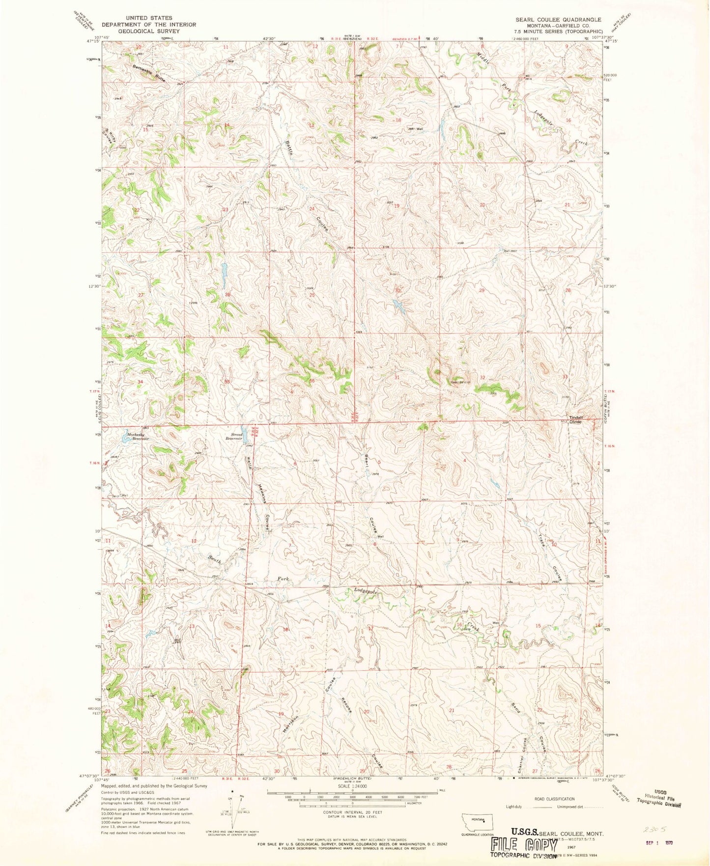
Classic USGS Searl Coulee Montana 7.5'x7.5' Topo Map
Regular price
$16.95
Regular price
Sale price
$16.95
Unit price
per
Couldn't load pickup availability
Historical USGS topographic quad map of Searl Coulee in the state of Montana. Map scale may vary for some years, but is generally around 1:24,000. Print size is approximately 24" x 27"
This quadrangle is in the following counties: Garfield.
The map contains contour lines, roads, rivers, towns, and lakes. Printed on high-quality waterproof paper with UV fade-resistant inks, and shipped rolled.
Contains the following named places: 16N32E27ABDB01 Well, 59058, Battleship Butte, Brown Number 4 Dam, Brown Number 5 Dam, Chartier Coulee, Kelly Hawkins Coulee, Koepke Coulee, Mashesky Reservoir, Morrison Coulee, Sand Coulee, Searl Coulee, Stroud Dam, Stroud Reservoir, Tindall Divide, Trace Coulee