MyTopo
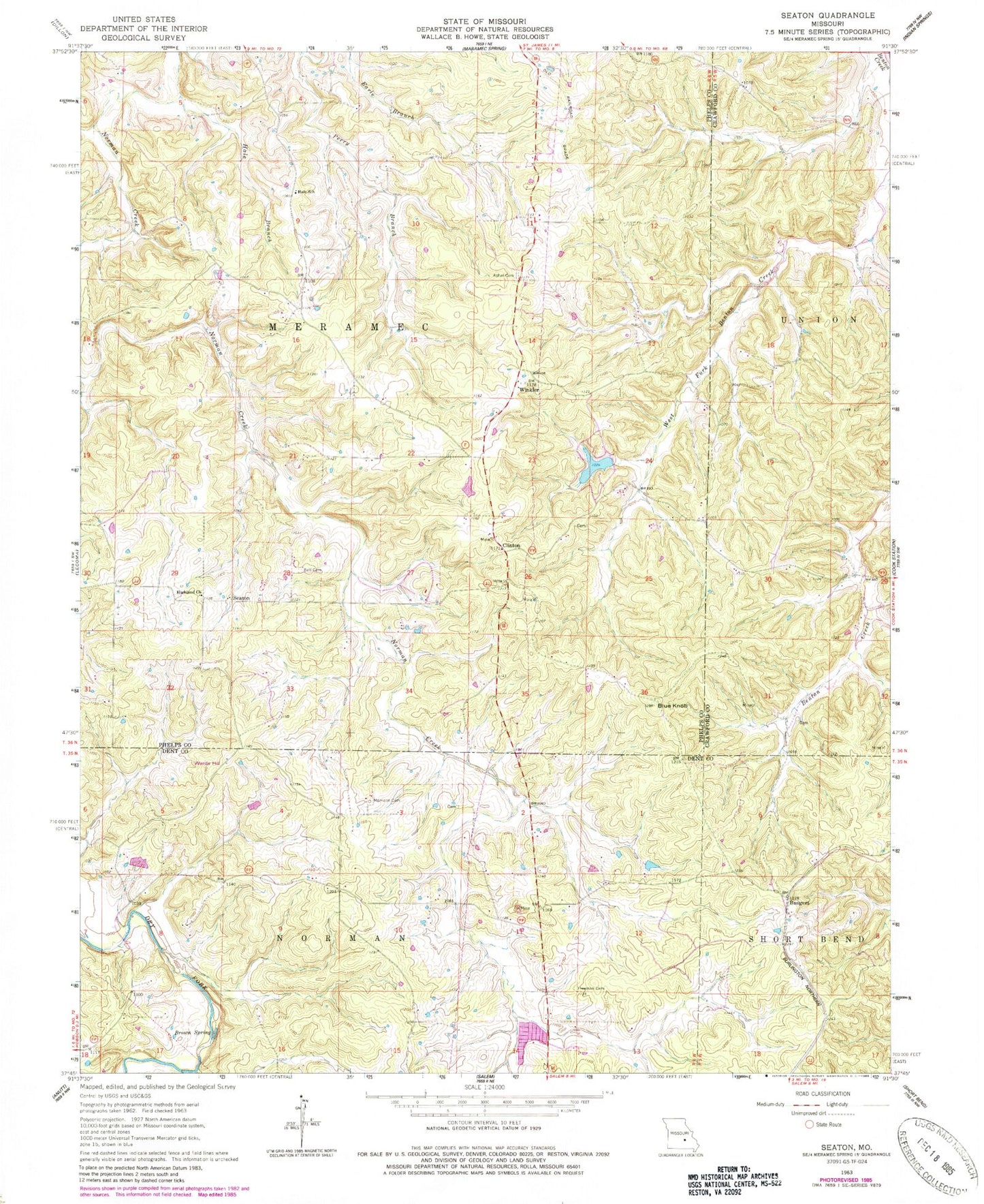
Classic USGS Seaton Missouri 7.5'x7.5' Topo Map
Couldn't load pickup availability
Historical USGS topographic quad map of Seaton in the state of Missouri. Typical map scale is 1:24,000, but may vary for certain years, if available. Print size: 24" x 27"
This quadrangle is in the following counties: Crawford, Dent, Phelps.
The map contains contour lines, roads, rivers, towns, and lakes. Printed on high-quality waterproof paper with UV fade-resistant inks, and shipped rolled.
Contains the following named places: Asher Cemetery, Bell Cemetery, Blue Knob, Brown Spring, Freeman Cemetery, Hale Branch, Hale School, Highland Church, Morrison Cemetery, Perry Branch, Hawkins Bank School (historical), Lay Branch, Boscobel (historical), Austria (historical), Bangert, Clinton, Seaton, Winkler, Kelly Bank Mine, Highland School (historical), Brady Mine, Bronson Mine, Smith Mine, Clinton Bank School (historical), Clark Mine, Winkler Mine, Stimson Mine, Eichorst School (historical), Norman (historical), Blue Mountain Mine, Benton Creek Mine, Watkins School, Nine Sixteen Bank (historical), Hawkins Bank, Wards Hill, Condray, Seven Springs Lake Dam, Seven Springs Lake, Metzger Dam, Ryder Lake Dam, Benton-Hale Cemetery, Greig Hale Cemetery, Grubb Cemetery, Grubb Andrew Cemetery


