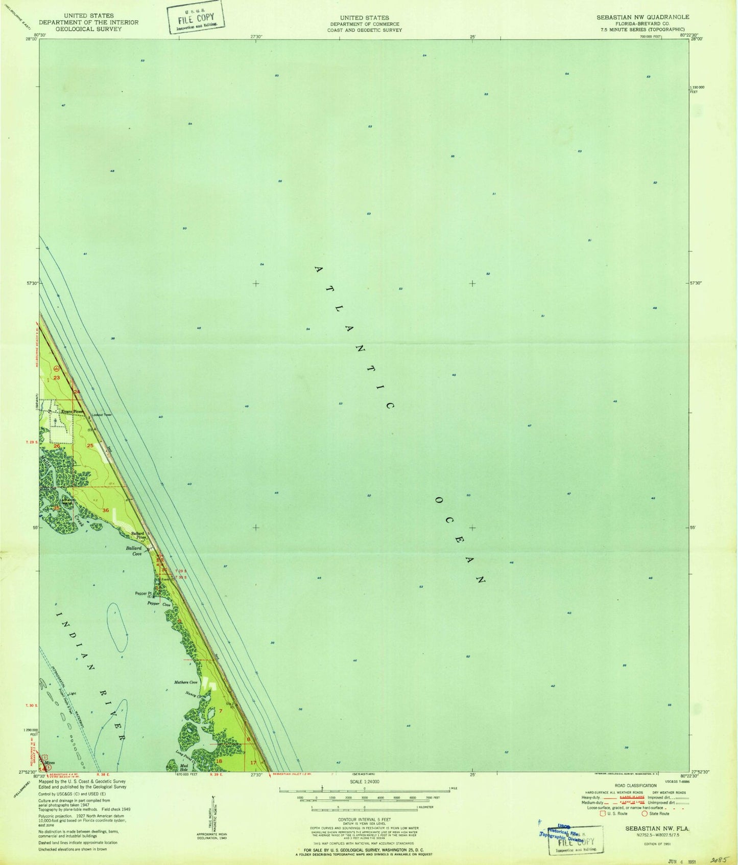
MyTopo
Classic USGS Sebastian NW Florida 7.5'x7.5' Topo Map
Regular price
$16.95
Regular price
Sale price
$16.95
Unit price
per
Couldn't load pickup availability
Historical USGS topographic quad map of Sebastian NW in the state of Florida. Map scale may vary for some years, but is generally around 1:24,000. Print size is approximately 24" x 27"
This quadrangle is in the following counties: Brevard.
The map contains contour lines, roads, rivers, towns, and lakes. Printed on high-quality waterproof paper with UV fade-resistant inks, and shipped rolled.
Contains the following named places: Ballard Cove, Ballard Pines, Brevard County Fire Rescue Station 65, Evans Pines, Floridana Beach, Fulton Seaplane Base, Latham Island, Long Point Creek, Mathers Cove, Melbourne Shores-Floridana Beach Division, Mud Hole, Mullet Creek, Nancy Creek, Pepper Cove, Pepper Point