MyTopo
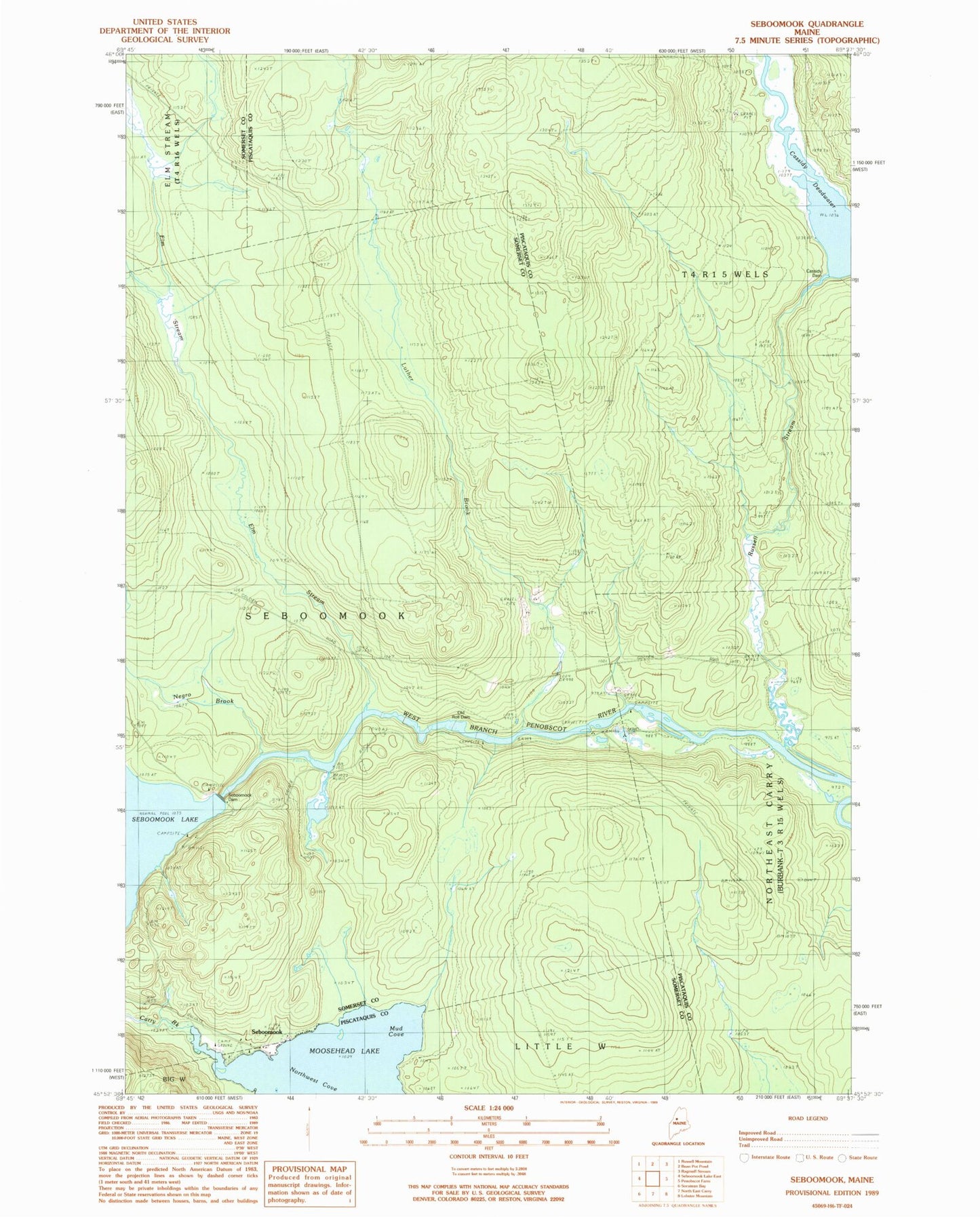
Classic USGS Seboomook Maine 7.5'x7.5' Topo Map
Regular price
$16.95
Regular price
Sale price
$16.95
Unit price
per
Couldn't load pickup availability
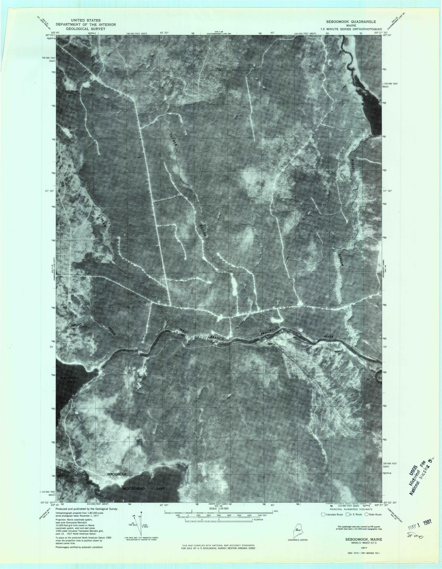
Historical USGS topographic quad map of Seboomook in the state of Maine. Map scale may vary for some years, but is generally around 1:24,000. Print size is approximately 24" x 27"
This quadrangle is in the following counties: Piscataquis, Somerset.
The map contains contour lines, roads, rivers, towns, and lakes. Printed on high-quality waterproof paper with UV fade-resistant inks, and shipped rolled.
Contains the following named places: Carry Brook, Cassidy Dam, Cassidy Deadwater, Elm Stream, Luther Brook, Mud Cove, Negro Brook, Old Roll Dam, Russell Stream, Seboomook, Seboomook Dam, Seboomook Township, T4 R15 WELS