MyTopo
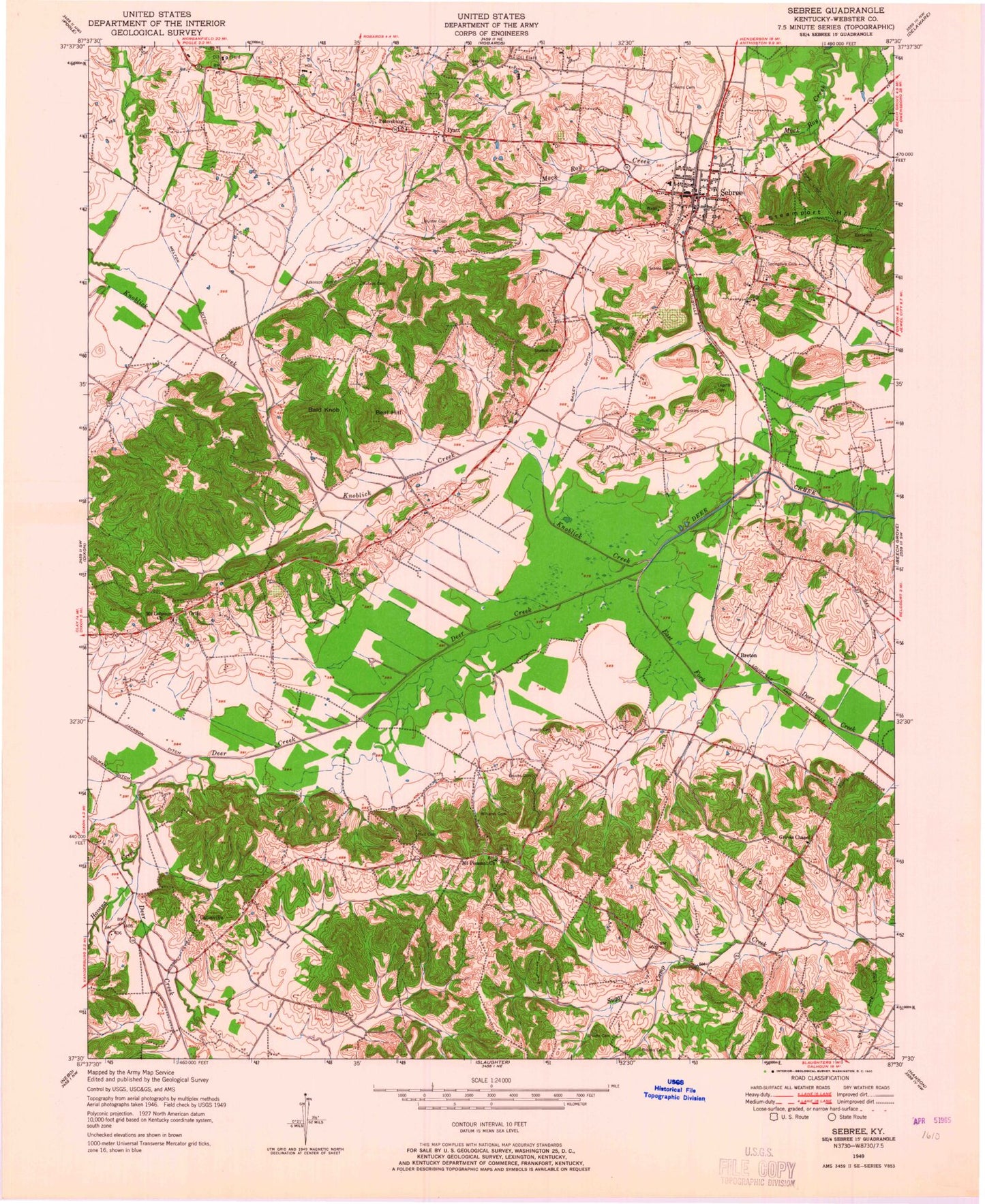
Classic USGS Sebree Kentucky 7.5'x7.5' Topo Map
Couldn't load pickup availability
Historical USGS topographic quad map of Sebree in the state of Kentucky. Map scale may vary for some years, but is generally around 1:24,000. Print size is approximately 24" x 27"
This quadrangle is in the following counties: Webster.
The map contains contour lines, roads, rivers, towns, and lakes. Printed on high-quality waterproof paper with UV fade-resistant inks, and shipped rolled.
Contains the following named places: Ashley Cemetery, Bailey Ditch, Bald Knob, Beal Hill, Breton, Brooks Family Cemetery, Caldwell - Watson Cemetery, City of Sebree, Eakins Cemetery, East Fork Deer Creek, Eastwood Cemetery, Gatesville, Groves Chapel, Groves Chapel Methodist Church Cemetery, Hall Cemetery, Havana Creek, Knoblick Creek, Melton Ditch, Mount Lebanon Church, Mount Lebanon General Baptist Church Cemetery, Mount Pleasant Cemetery, Mount Pleasant Church, Ortiz, Petersburg Cemetery, Petersburg Church, Pratt, Riley Family Home Historical Marker, Sebree, Sebree Division, Sebree Fire Department, Sebree Police Department, Sebree Post Office, Sebree Springs Park, Springdale Cemetery, Steamport Hill, Williams Family Cemetery, ZIP Code: 42455


