MyTopo
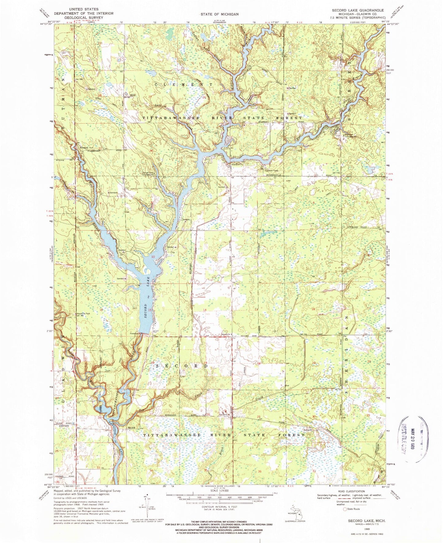
Classic USGS Secord Lake Michigan 7.5'x7.5' Topo Map
Couldn't load pickup availability
Historical USGS topographic quad map of Secord Lake in the state of Michigan. Typical map scale is 1:24,000, but may vary for certain years, if available. Print size: 24" x 27"
This quadrangle is in the following counties: Gladwin.
The map contains contour lines, roads, rivers, towns, and lakes. Printed on high-quality waterproof paper with UV fade-resistant inks, and shipped rolled.
Contains the following named places: Avery Creek, East Branch Tittabawassee River, Elk Lake Creek, Indian Lake Creek, Koll Drain, Lang Drain, Middle Branch Tittabawassee River, Sampson Drain, Secord Church, Secord Lake, Secord Lake Campground, Sugar River, Tea Creek, West Branch Tittabawassee River, Wildwood Campground, Secord, Township of Clement, Township of Secord, Second Post Office (historical), Second Lutheran Cemetery, Secord Township Fire Rescue, Wildwood Fire Department