MyTopo
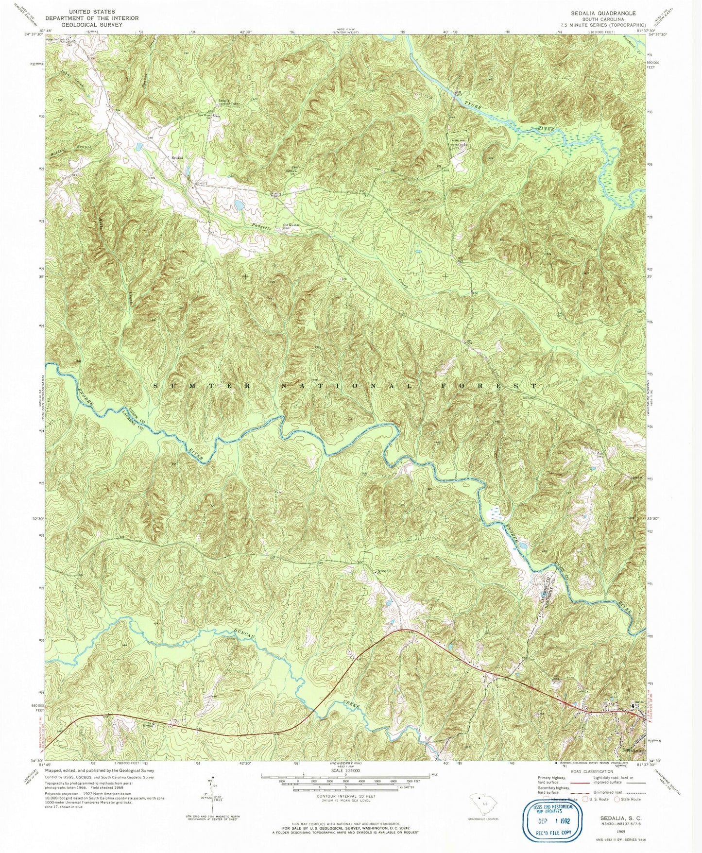
Classic USGS Sedalia South Carolina 7.5'x7.5' Topo Map
Couldn't load pickup availability
Historical USGS topographic quad map of Sedalia in the state of South Carolina. Typical map scale is 1:24,000, but may vary for certain years, if available. Print size: 24" x 27"
This quadrangle is in the following counties: Laurens, Newberry, Union.
The map contains contour lines, roads, rivers, towns, and lakes. Printed on high-quality waterproof paper with UV fade-resistant inks, and shipped rolled.
Contains the following named places: Hills Creek, Rose Hill State Park, Spring Hill Church, Hickory Nut Hunt Camp, Ridge Road Hunt Camp, Black Buck Hunt Camp, Sedalia, Adams Ford, Browns Ferry (historical), Canaan School (historical), Enoree Presbyterian Church (historical), Flint Hill Church (historical), Gist Bridge, Gist Cemetery, Gist Mill (historical), Jones Ferry (historical), New Hope School (historical), New Prospects Cemetery, Quaker Church, Rose Hill Plantation (historical), Sedalia School (historical), Shady Grove (historical), Wrights Mill (historical), Knights Mill (historical), Spring Hill School (historical), Sedalia Lookout Tower, Carver School, Galilee Baptist Church, New Hope Church, Old Quaker Cemetery, Padgetts Creek Baptist Church, Odels Ford, Gist Bridge Boat Ramp, Sedalia Tower Hunt Camp, Judas Branch, Cane Brake Branch, Langston Branch, Odell Church (historical), Odells Branch, Duckett Spring Branch, Cross Keys Division, Laurens County Fire Department Renno Station 2