MyTopo
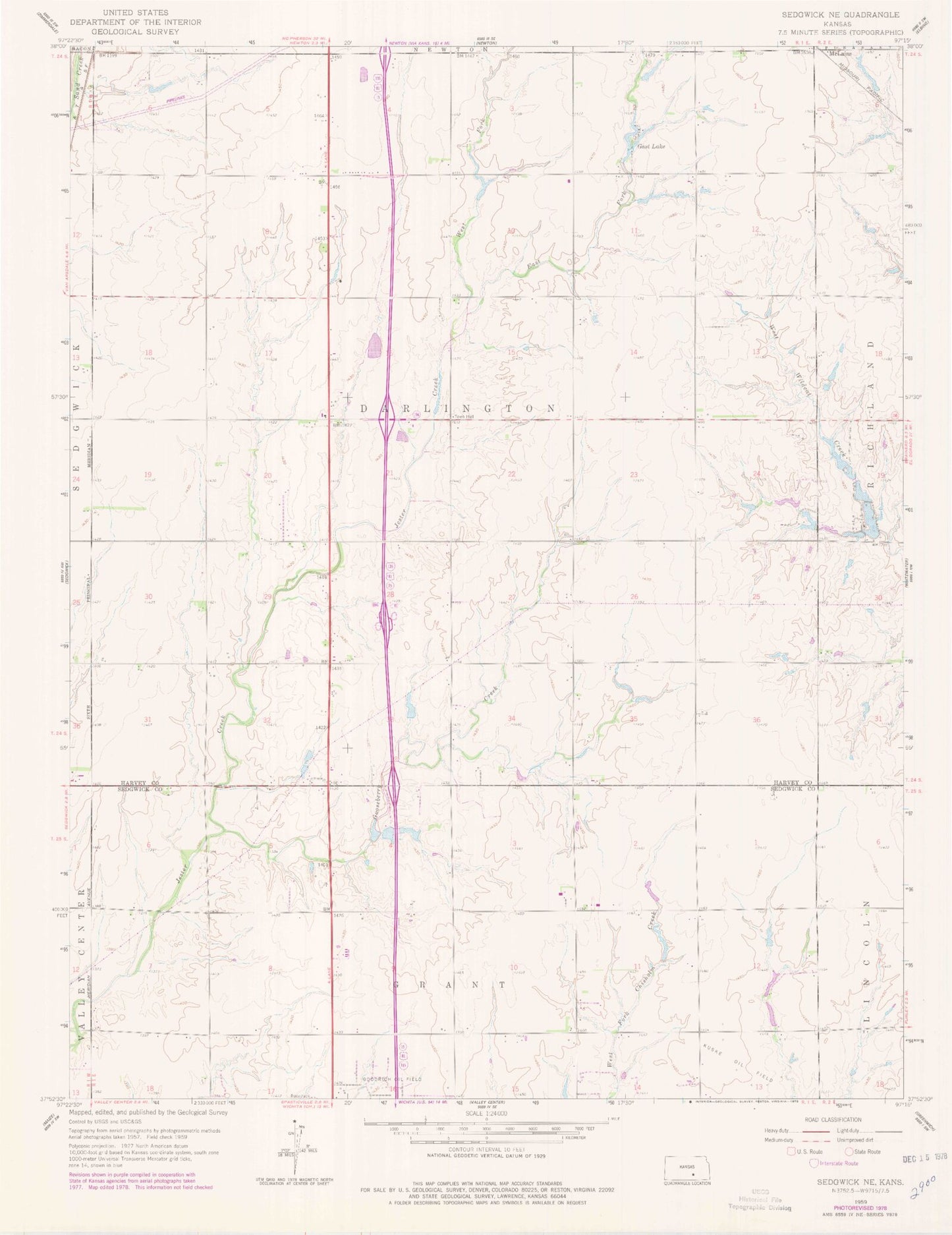
Classic USGS Sedgwick NE Kansas 7.5'x7.5' Topo Map
Couldn't load pickup availability
Historical USGS topographic quad map of Sedgwick NE in the state of Kansas. Map scale may vary for some years, but is generally around 1:24,000. Print size is approximately 24" x 27"
This quadrangle is in the following counties: Harvey, Sedgwick.
The map contains contour lines, roads, rivers, towns, and lakes. Printed on high-quality waterproof paper with UV fade-resistant inks, and shipped rolled.
Contains the following named places: Centennial School, Dewey School, East Fork Jester Creek, Gast Lake, Gooseberry Creek, Kansas Department of Transportation Harvey County Rest Stop, Kansas Sports Museum, Kuske Oil Field, Lil Bird Airport, McLains, Mclains School, Norris School, Pleasant View Church, Township of Darlington, West Fork Jester Creek