MyTopo
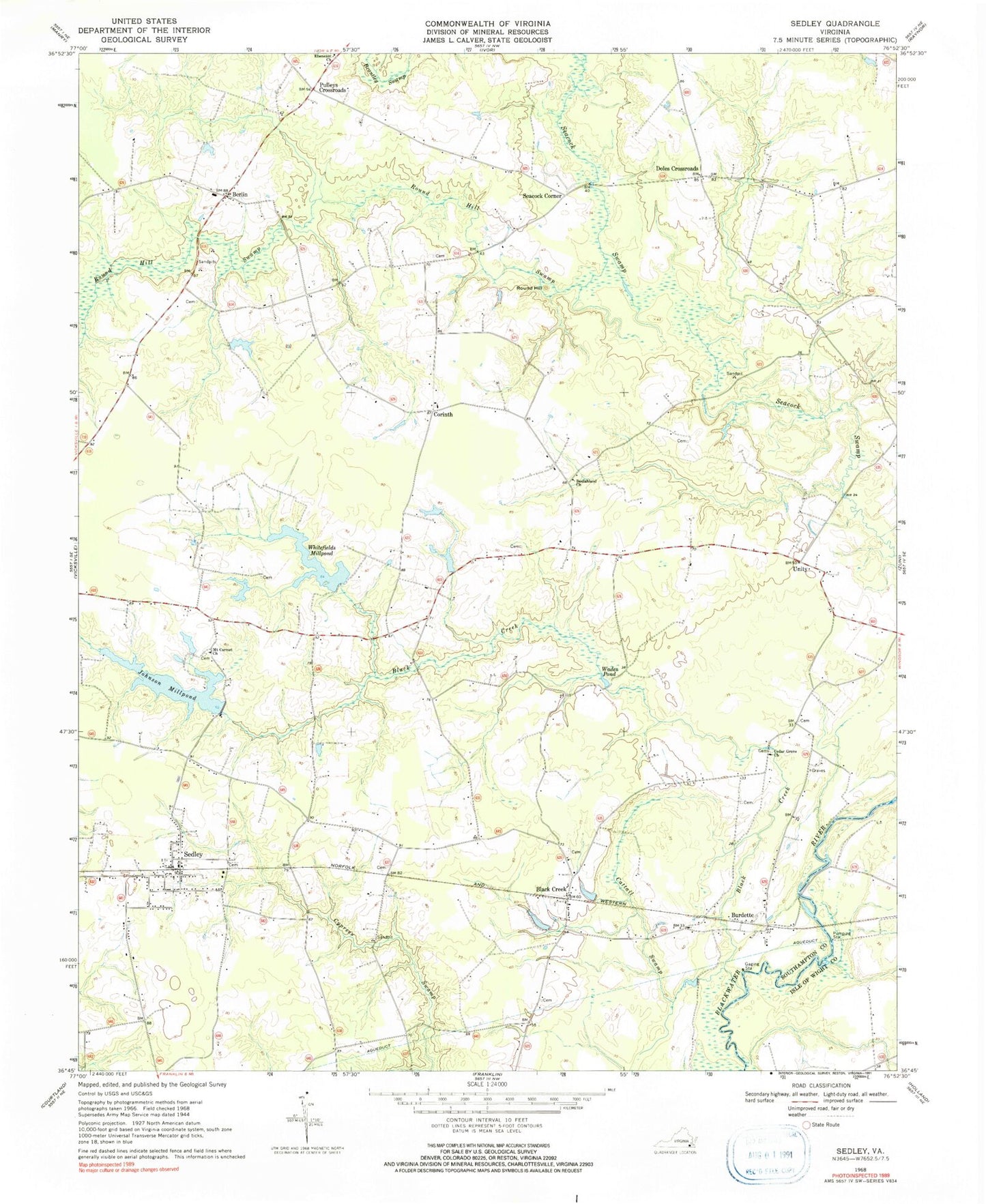
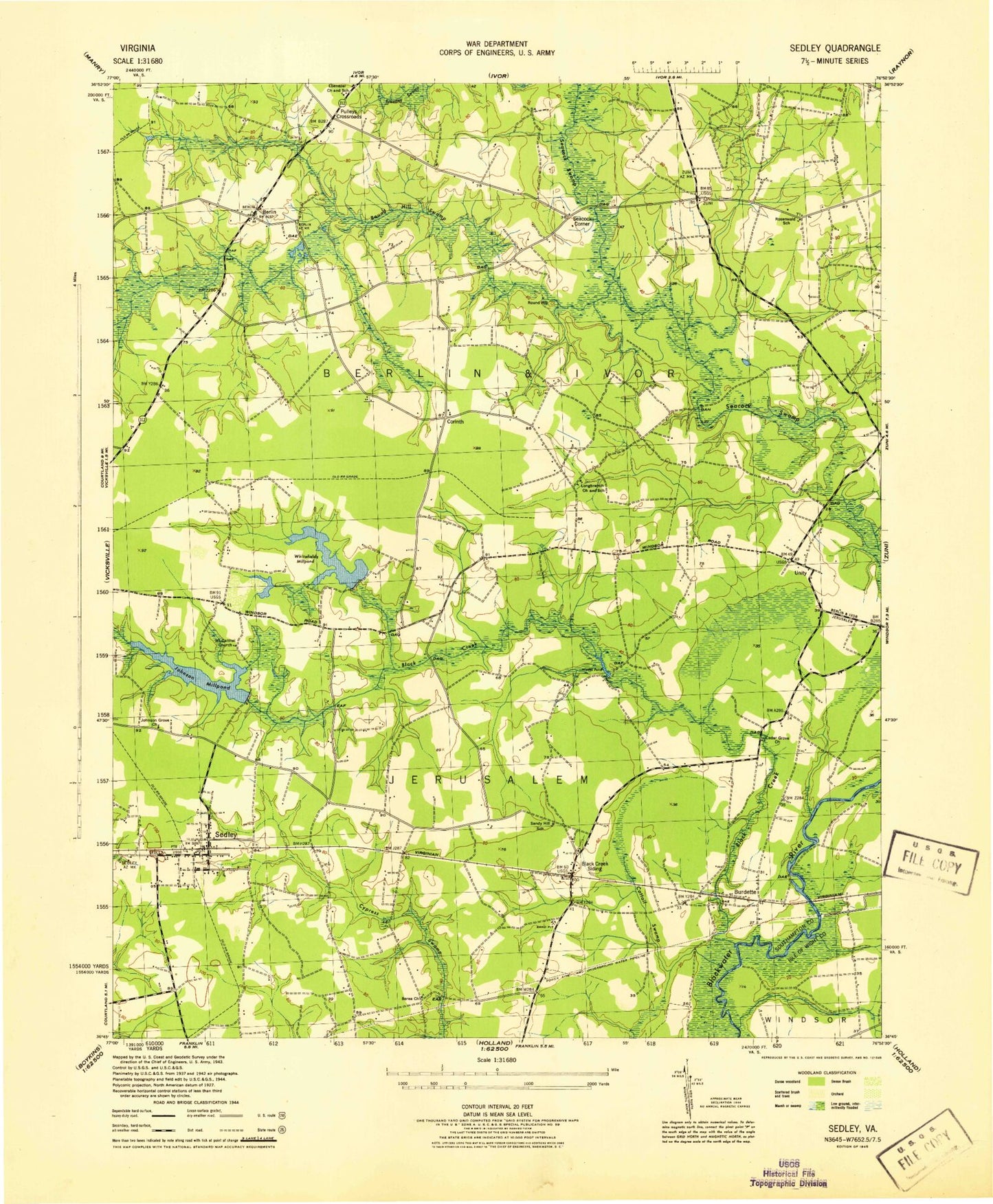
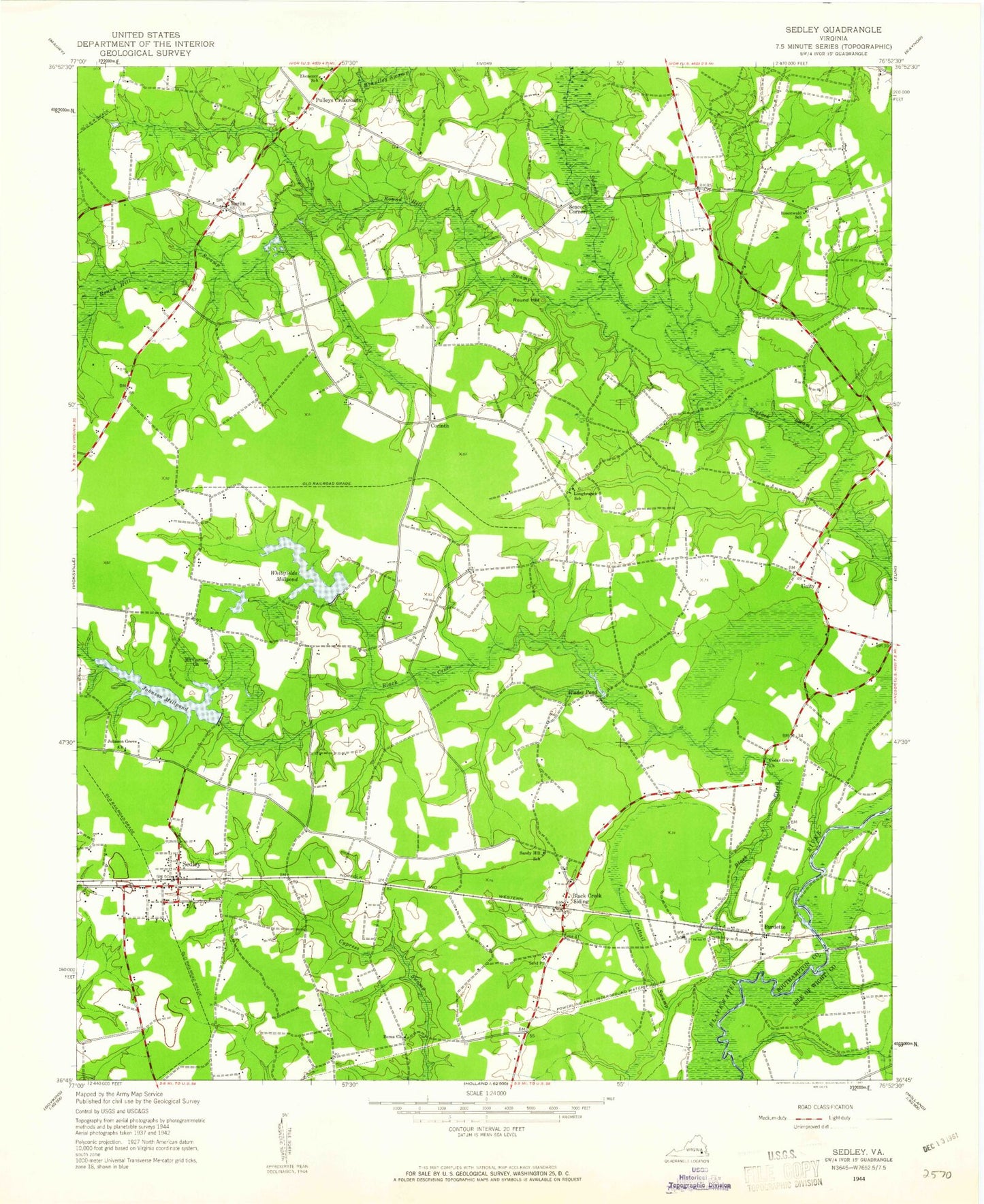
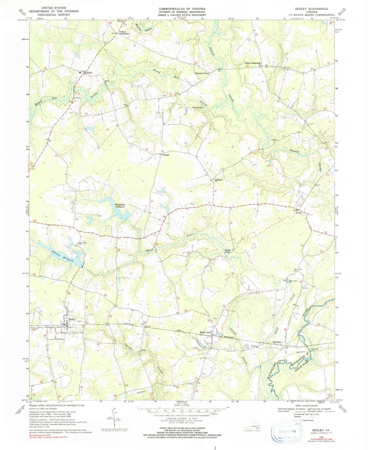
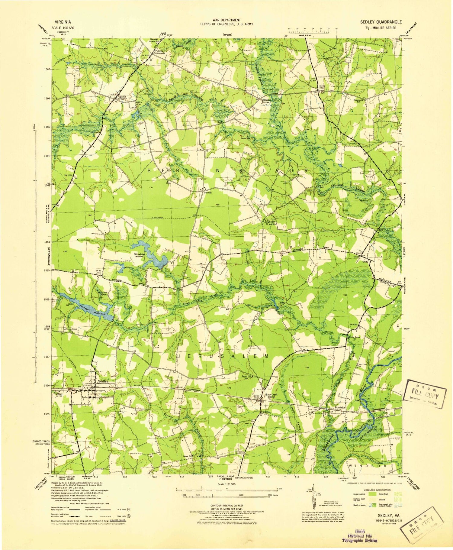
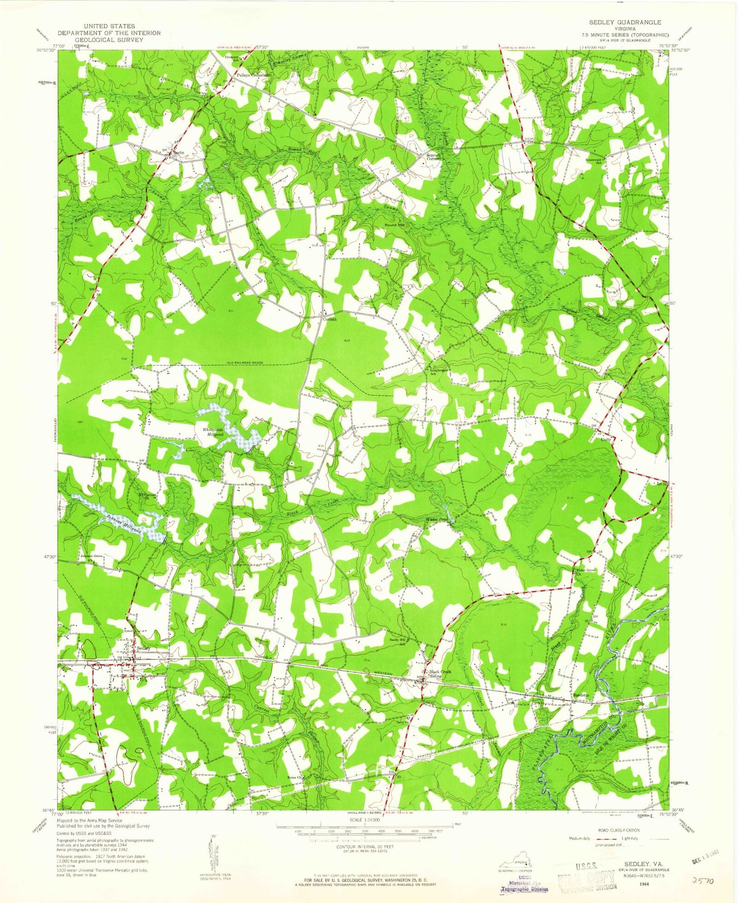
Classic USGS Sedley Virginia 7.5'x7.5' Topo Map
Couldn't load pickup availability
Historical USGS topographic quad map of Sedley in the state of Virginia. Map scale may vary for some years, but is generally around 1:24,000. Print size is approximately 24" x 27"
This quadrangle is in the following counties: Isle of Wight, Southampton.
The map contains contour lines, roads, rivers, towns, and lakes. Printed on high-quality waterproof paper with UV fade-resistant inks, and shipped rolled.
Contains the following named places: Berea Church, Berlin, Beulahland Church, Black Creek, Burdette, Cattail Swamp, Cedar Grove Church, Corinth, Corinth Friends Church, Cottage Hill School, Doles Crossroads, Ebenezer School, Jericho School, Johnson Dam, Johnson Millpond, Longbranch School, Mount Carmel Church, Nottoway Elementary School, Pulleys Crossroads, Rosenwald School, Round Hill, Round Hill Swamp, Sandy Hill School, Seacock Corner, Sedley, Sedley Census Designated Place, Sedley Post Office, Sedley Volunteer Fire Department Station 8, Unity, Wades Pond, Whitefields Dam, Whitefields Millpond
