MyTopo
Classic USGS Seeley Creek New York 7.5'x7.5' Topo Map
Couldn't load pickup availability
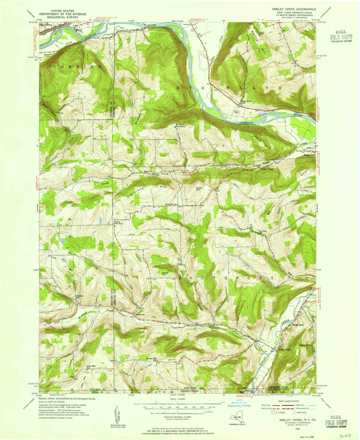
Historical USGS topographic quad map of Seeley Creek in the states of New York, Pennsylvania. Typical map scale is 1:24,000, but may vary for certain years, if available. Print size: 24" x 27"
This quadrangle is in the following counties: Bradford, Chemung, Steuben, Tioga.
The map contains contour lines, roads, rivers, towns, and lakes. Printed on high-quality waterproof paper with UV fade-resistant inks, and shipped rolled.
Contains the following named places: Birch Creek, Bird Creek, Clark Hollow, Cleveland Hill, Dutch Hill, Dutch Hill Cemetery, East Hill, Harris Hill, Harris Hill Manor, Kelly Hill, Kelly Hill Cemetery, Kinner Hill, Leach Hill, Mount Saviour Monastery, Mudlick Creek, Rosar Hill, Seeley Creek, Stanley Woods Camp, Steege Hill, Webb Mills, Sing Sing Creek, Gillette Creek, Widger Hill, Mount Zoar, Sagetown, Connelly Field (historical), Harris Hill Gliderport, Town of Southport, Sagetown Cemetery, Elmira Drive-In, Kings Way Christian Academy, Central Baptist Church, Seeley Creek Bridge, National Soaring Museum, Golden Glow Volunteer Fire Company Station 1, East Corning Fire Department, Golden Glow Volunteer Fire Company Station 2, Webbs Mills Volunteer Fire Department Station 1, Webbs Mills Volunteer Fire Department Station 2, Berry Creek, Minnow Creek, Hammond Creek


