MyTopo
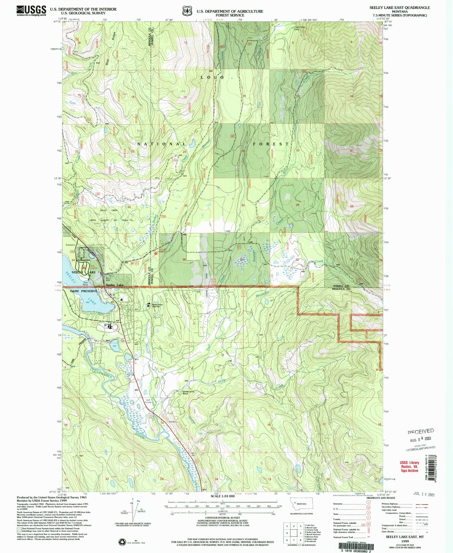
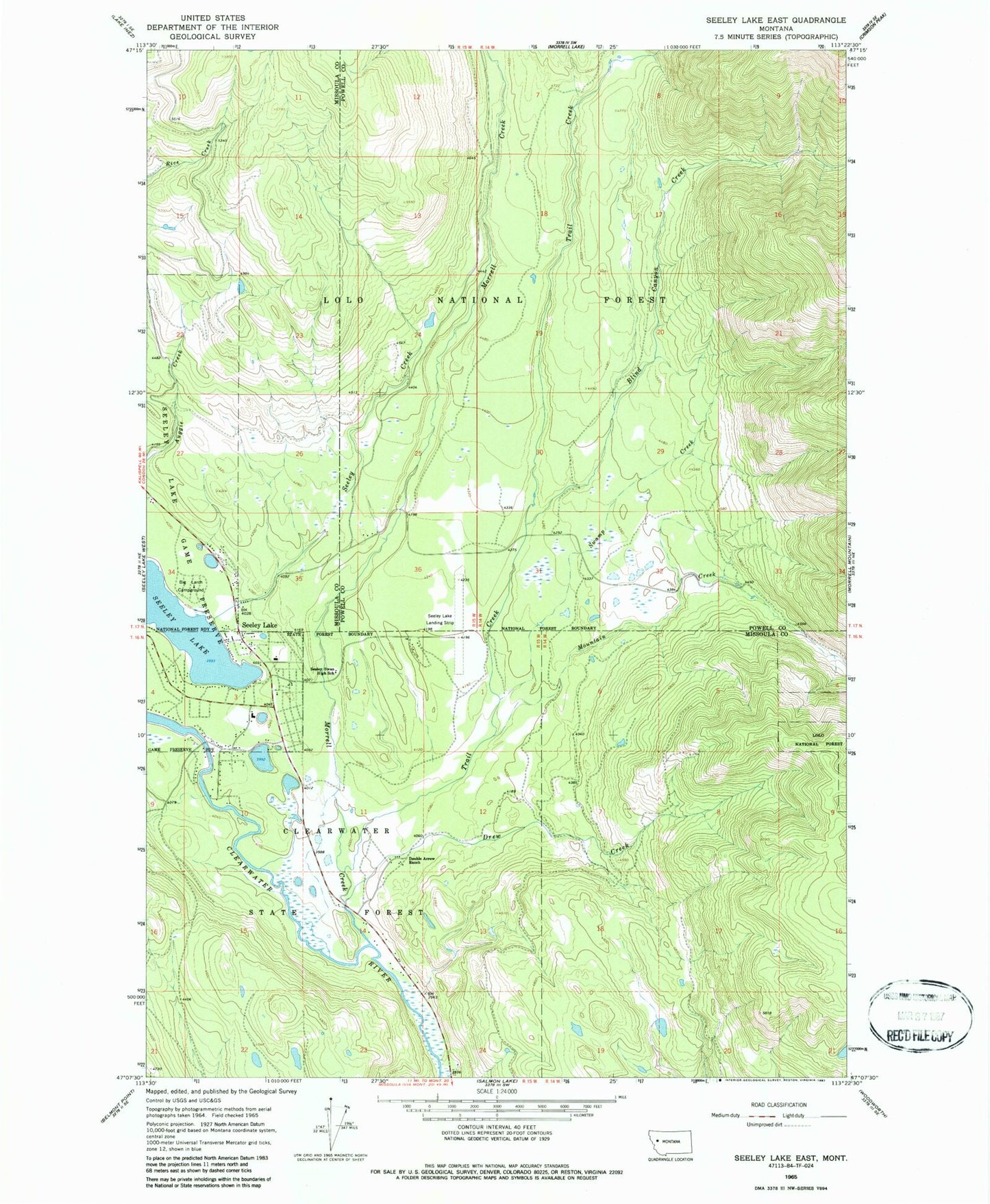
Classic USGS Seeley Lake East Montana 7.5'x7.5' Topo Map
Couldn't load pickup availability
Historical USGS topographic quad map of Seeley Lake East in the state of Montana. Typical map scale is 1:24,000, but may vary for certain years, if available. Print size: 24" x 27"
This quadrangle is in the following counties: Missoula, Powell.
The map contains contour lines, roads, rivers, towns, and lakes. Printed on high-quality waterproof paper with UV fade-resistant inks, and shipped rolled.
Contains the following named places: Double Arrow Ranch, Big Larch Campground, Blind Canyon Creek, Drew Creek, Morrell Creek, Mountain Creek, Seeley Creek, Seeley Swan High School, Swamp Creek, Trail Creek, Chaffin Pack Camp, Corlett, Rice Ridge, Seeley Lake, Seeley Lake Airport, Lindeys Landing West Seaplane Base, 16N15W14DBAA01 Well, 16N15W10BDCB01 Well, 16N15W10BDBD01 Well, 16N15W10BDBB01 Well, 16N15W10BACA01 Well, 16N15W03CDDD01 Well, 16N15W03CDCC01 Well, 16N15W01CCAA01 Well, 16N15W01BDCC01 Well, 16N15W01ABCD01 Well, 16N15W01BADB01 Well, 16N15W02AAAD01 Well, 16N15W03ABBD01 Well, 16N15W04ABAD01 Well, 16N15W03ABBA01 Well, 16N15W01BABA01 Well, 17N15W34DAAD01 Well, 17N15W34ACDC01 Well, Blackfoot Presbyterian Parish, Episcopalian Congregation, The Church of Jesus Christ of Latter Day Saints, Faith Chapel, Mission Bible Fellowship, Fundamental Baptist Church, Holy Cross Lutheran Church, Living Water Catholic Church, Mountain Lakes Presbyterian Church, Rapp Chiropractic Office, Montana Sports Medicine and Family Practice, Seeley Lake Post Office, Seeley Lake Rural Fire District, Seeley Lake Public Schools, Seeley Swan Medical Center, Seeley Lake Branch Library, Coyles RV Park, Wapiti Resort, Double Arrow Golf Resort, Seeley Lake Census Designated Place


