MyTopo
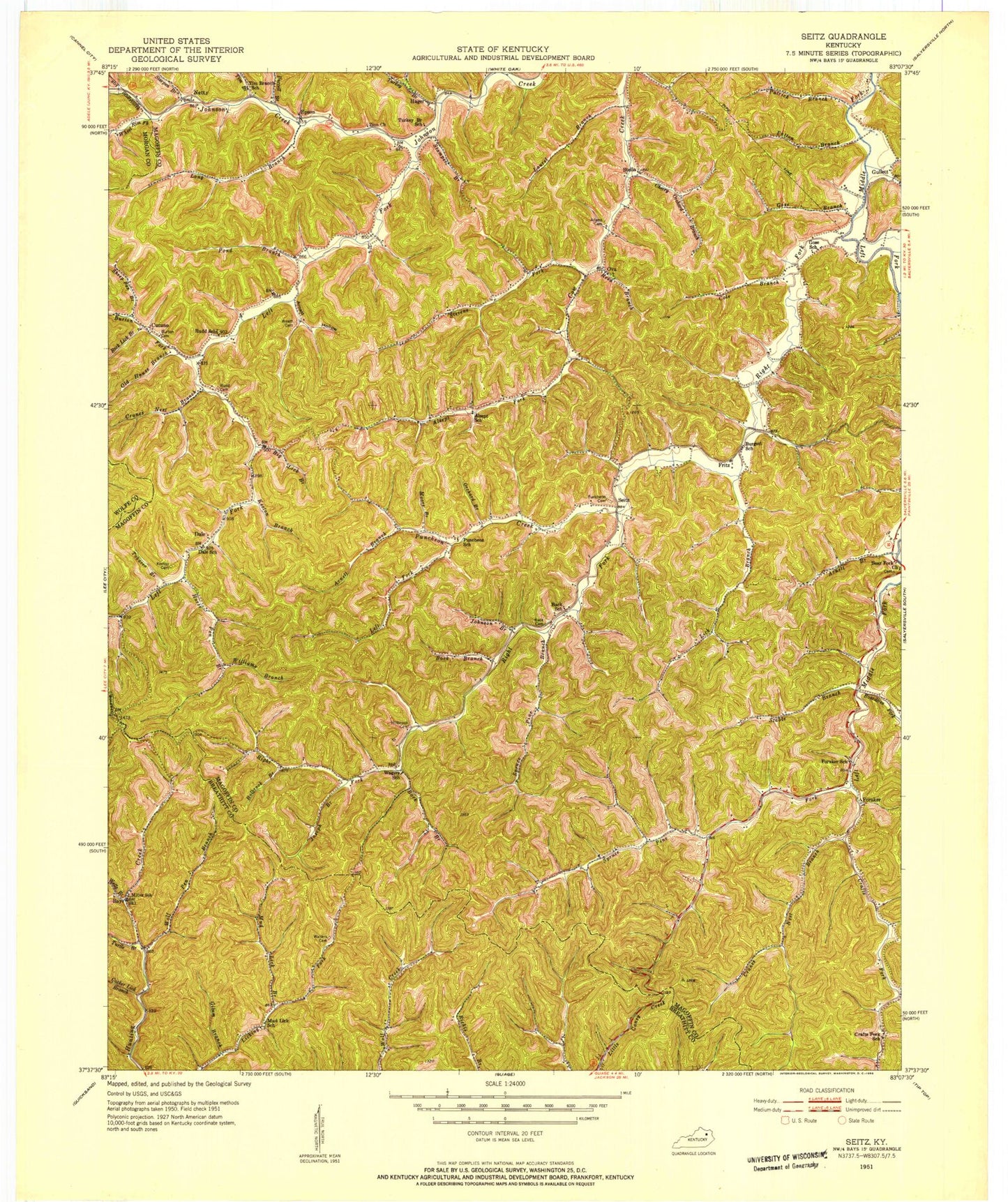
Classic USGS Seitz Kentucky 7.5'x7.5' Topo Map
Couldn't load pickup availability
Historical USGS topographic quad map of Seitz in the state of Kentucky. Map scale may vary for some years, but is generally around 1:24,000. Print size is approximately 24" x 27"
This quadrangle is in the following counties: Breathitt, Magoffin, Morgan, Wolfe.
The map contains contour lines, roads, rivers, towns, and lakes. Printed on high-quality waterproof paper with UV fade-resistant inks, and shipped rolled.
Contains the following named places: Adams Cemetery, Alex and Mary Cemetery, Alsept Fork, Ambrose and Susan Arnett Cemetery, Arnett Branch, Arnett Hollow, Back Branch, Back Cemetery, Back School, Bays, Bear Fork Church, Bethel Bible Church, Big Lick Branch, Boardtree Fork, Bunker Bottom Flat, Burgette Community Church, Burton Cemetery, Burton Fork, Cherry Orchard Branch, Clay Arnett Cemetery, Cocker Lick Branch, Cole Branch, Craft Fork, Craft Fork Church, Crafts Fork, Crafts Fork School, Cranes Nest Branch, Cutuno, Dale, Dale Post Office, Dale School, Dun Cemetery, Dyer Branch, Dyer Cemetery, Epson, Epson Post Office, Fleming Arnett Cemetery, Foraker, Foraker School, Fritz, Fritz Post Office, Gabriel Jack Cemetery, Gil Williams Cemetery, Gilum Branch, Gose Branch, Gullet Post Office, Gullett, Gullett Branch, Hagar Post Office, Hager, Hanson Rowe Cemetery, Holbrook Branch, Holbrook Cemetery, Holbrooks Branch, Holbrook's Cemetery, Holbrook's Church, Horse Pen Branch, Hunted Lick Branch, Jackson Branch, Jackson L Arnett Cemetery, Jim Blanton Cemetery, John Back Cemetery, John Cole Cemetery, Johnson Branch, Joseph Branch, Keeton Branch, Keeton Cemetery, Keith Memorial Tabernacle Church, Kennard Cemetery, Laurel Branch, Left Fork Johnson Creek, Left Fork Licking River, Left Fork Puncheon Creek, Les Higgins Branch, Lick Branch, Long Branch, Moore Branch, Mud Lick Branch, Netty, Netty Post Office, Old House Branch, Ora Post Office, Orchard Branch, Ova, Paddle Branch, Patrick Branch, Patton Branch, Pond Branch, Puncheon, Puncheon Cemetery, Puncheon Creek, Puncheon Post Office, Puncheon School, Purcell Branch, Reed Branch, Right Fork Licking River, Right Middle Fork, Rock Lick Branch, Rudd Branch, Rudd Cemetery, Rudd School, Samaria Church, Sandlick Branch, Scotch Branch, Seitz, Seitz Post Office, Sheep Pen Branch, Spruce Branch, Spruce Pine Fork, Stable Branch, Stamper Branch, Stella, Stella Post Office, Stevens Fork, Stevens School, Tim Branch, Tim Branch School, Tobacco Branch, Town Flats, Turkey Branch, Turkey Branch School, Turtle Branch, Wagers School, Walters Cemetery, Warren Rowe Branch, Wells Branch, West Magoffin Division, Wheel Rim Fork, William Big Bill Patriotic Cemetery, Williams Branch, Wolf Pen Branch, Zion Church


