MyTopo
Classic USGS Sekiu River Washington 7.5'x7.5' Topo Map
Regular price
$16.95
Regular price
Sale price
$16.95
Unit price
per
Couldn't load pickup availability
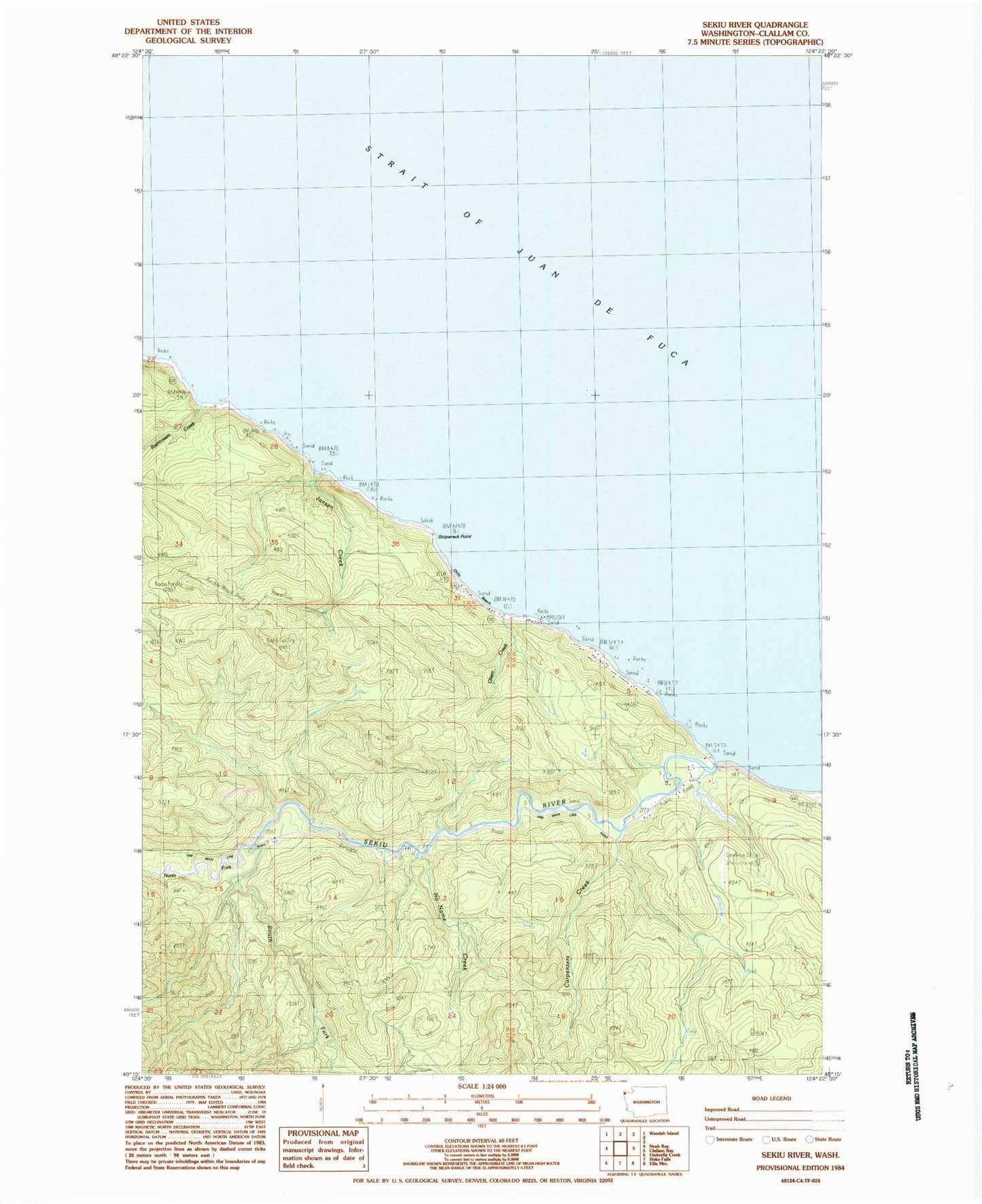
Historical USGS topographic quad map of Sekiu River in the state of Washington. Map scale may vary for some years, but is generally around 1:24,000. Print size is approximately 24" x 27"
This quadrangle is in the following counties: Clallam.
The map contains contour lines, roads, rivers, towns, and lakes. Printed on high-quality waterproof paper with UV fade-resistant inks, and shipped rolled.
Contains the following named places: Carpenters Creek, Chito Beach, Crown Zellerback Landing Area, Jansen Creek, No Name Creek, North Fork Sekiu River, Olsen Creek, Rasmussen Creek, Sekiu River, Shipwreck Point, South Fork Sekiu River, ZIP Code: 98381