MyTopo
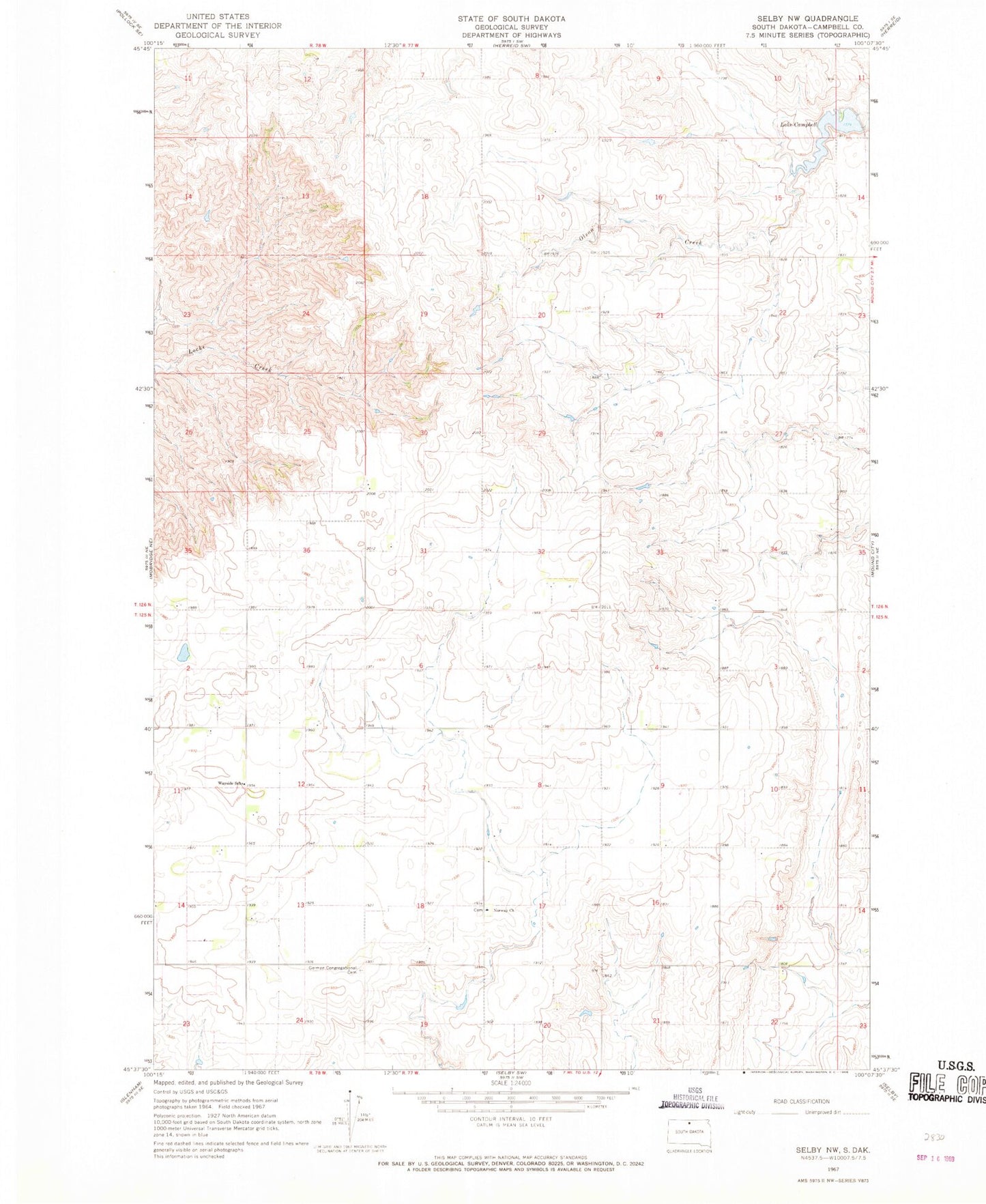
Classic USGS Selby NW South Dakota 7.5'x7.5' Topo Map
Couldn't load pickup availability
Historical USGS topographic quad map of Selby NW in the state of South Dakota. Map scale may vary for some years, but is generally around 1:24,000. Print size is approximately 24" x 27"
This quadrangle is in the following counties: Campbell.
The map contains contour lines, roads, rivers, towns, and lakes. Printed on high-quality waterproof paper with UV fade-resistant inks, and shipped rolled.
Contains the following named places: German Congregational Church, German Congregational Church Cemetery, Lake Campbell, Lake Campbell Dam, Norway Church, Norway Church Cemetery, Olson Creek, Tislo Post Office, Township of Auburn, Township of Fairview, Wayside School, Wientjes Brothers Number 1 Dam, Wientjes Brothers Number 2 Dam