MyTopo
Classic USGS Selden Kansas 7.5'x7.5' Topo Map
Couldn't load pickup availability
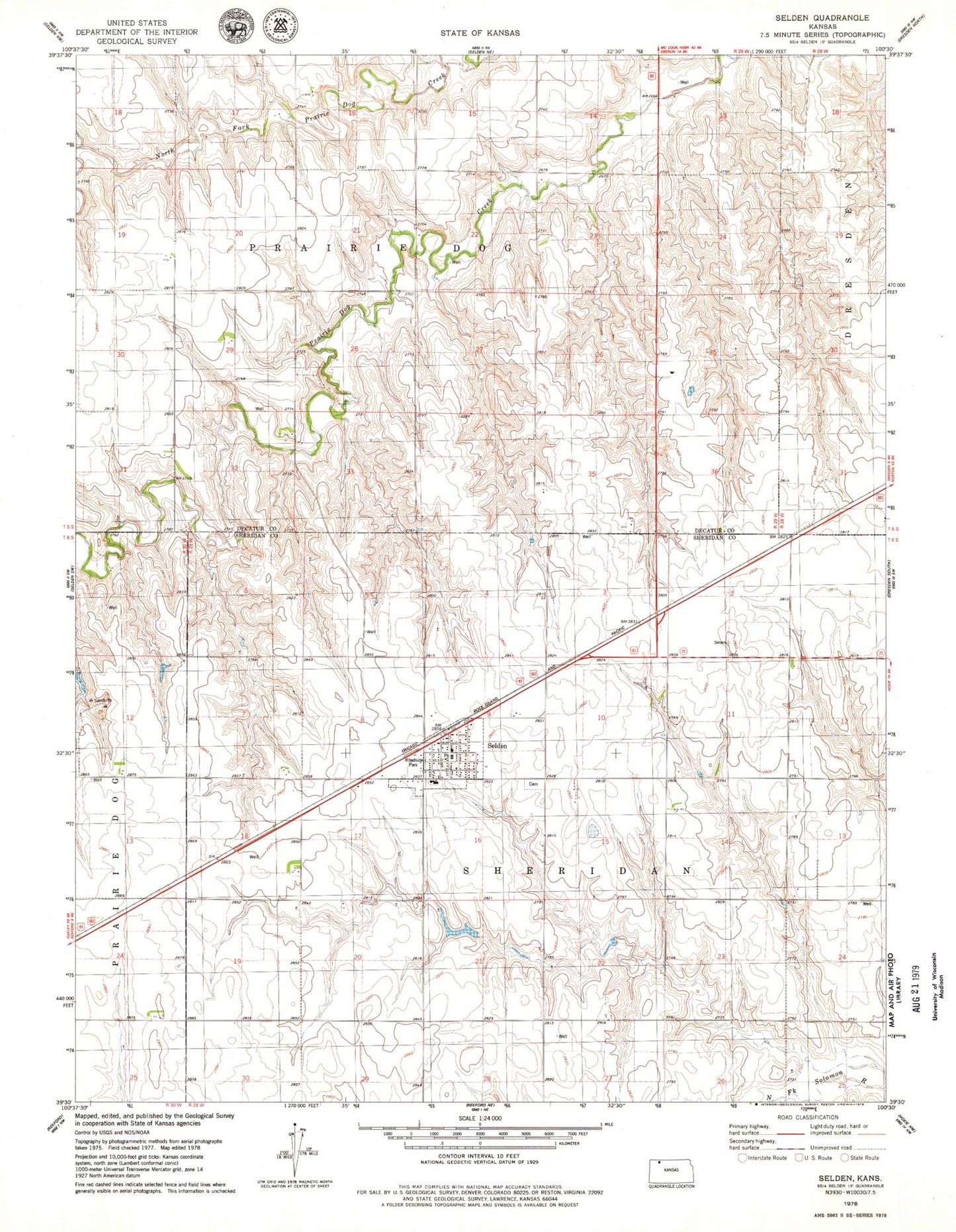
Historical USGS topographic quad map of Selden in the state of Kansas. Map scale may vary for some years, but is generally around 1:24,000. Print size is approximately 24" x 27"
This quadrangle is in the following counties: Decatur, Sheridan.
The map contains contour lines, roads, rivers, towns, and lakes. Printed on high-quality waterproof paper with UV fade-resistant inks, and shipped rolled.
Contains the following named places: City of Selden, Golden Plains Elementary School, Hi-Plains Co - Operative Association Grain Elevator Number 6, Sacred Heart Catholic Church, Selden, Selden Cemetery, Selden Post Office, Selden Public Library, Selden United Methodist Church, Selden Wastewater Plant, Sheridan County Rural Fire Station, Township of Prairie Dog, Township of Sheridan, ZIP Code: 67757