MyTopo
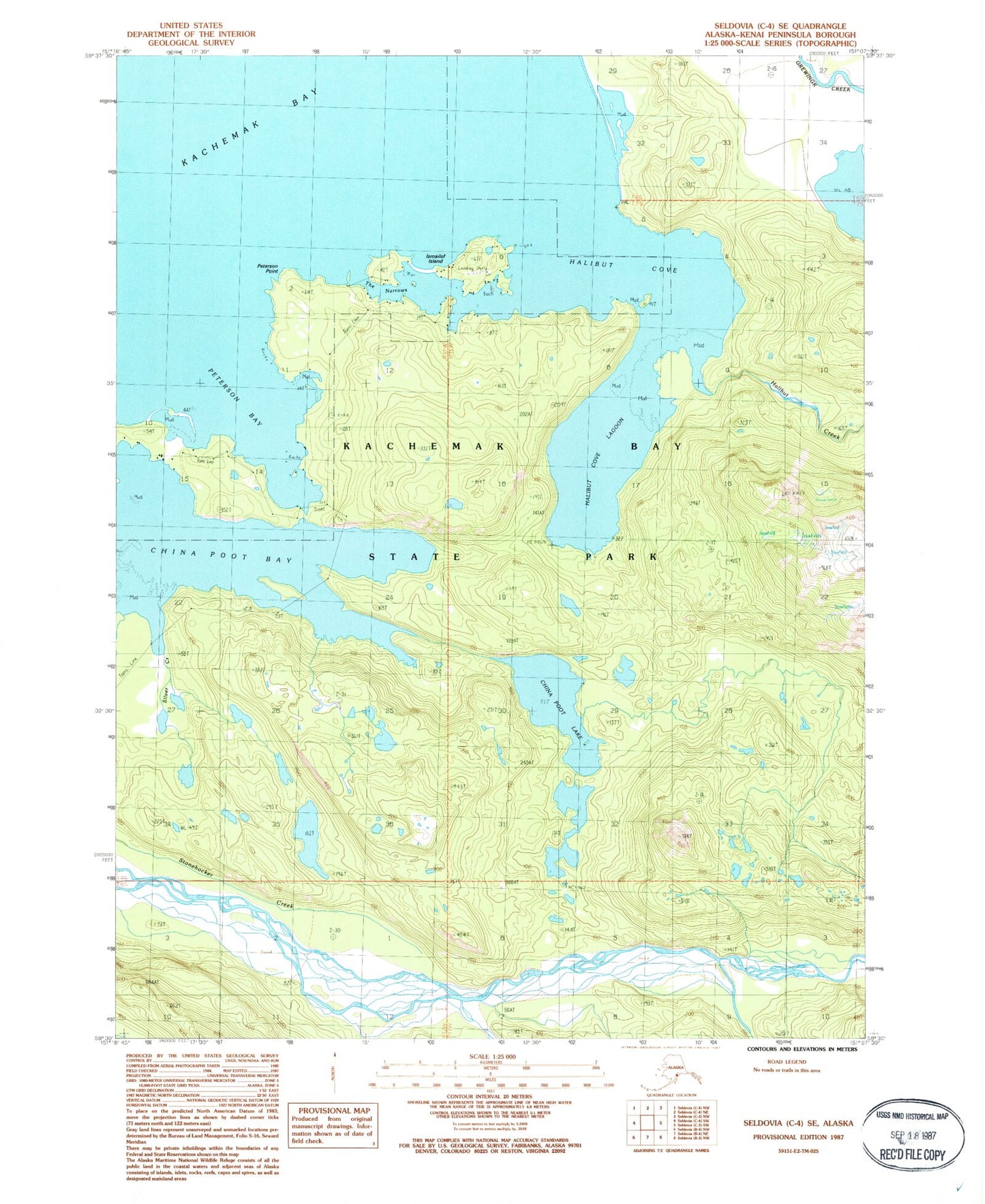
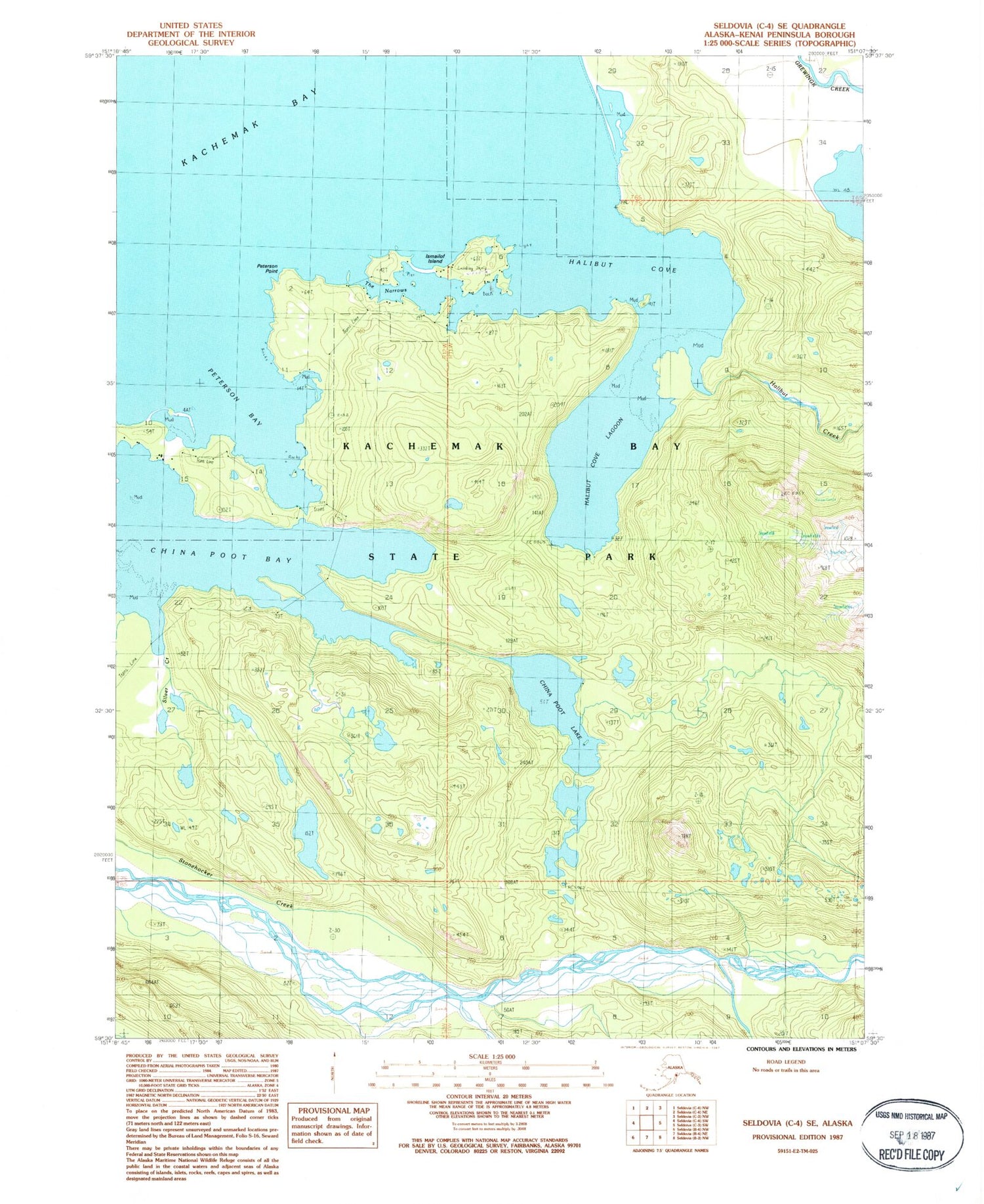
Classic USGS Seldovia C-4 SE Alaska 7.5'x7.5' Topo Map
Couldn't load pickup availability
Historical USGS topographic quad map of Seldovia C-4 SE in the state of Alaska. Typical map scale is 1:24,000, but may vary for certain years, if available. Print size: 24" x 27"
This quadrangle is in the following counties: Kenai Peninsula.
The map contains contour lines, roads, rivers, towns, and lakes. Printed on high-quality waterproof paper with UV fade-resistant inks, and shipped rolled.
Contains the following named places: China Poot Lake, Halibut Cove, Halibut Cove Lagoon, Halibut Creek, Ismailof Island, Kachemak Bay State Park, Peterson Bay, Peterson Point, Silver Creek, Stonehocker Creek, The Narrows, Halibut Cove, Rosies Bight, Rustys Lagoon, Halibut Cove Landing Strip (historical), Halibut Cove Census Designated Place, Seims Sea Farms, Moss Island Oyster Farms, CPU Halibut Cove Post Office


