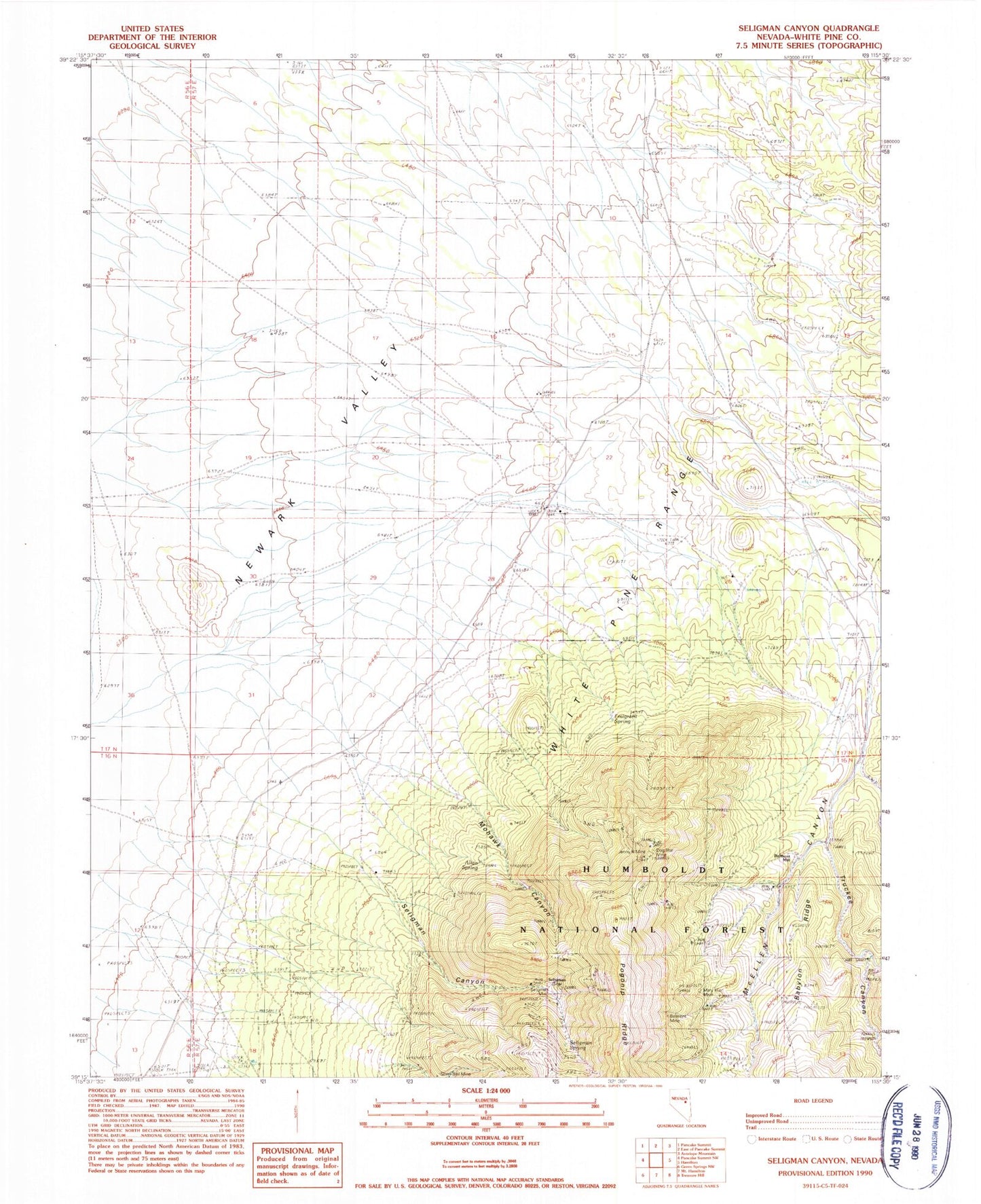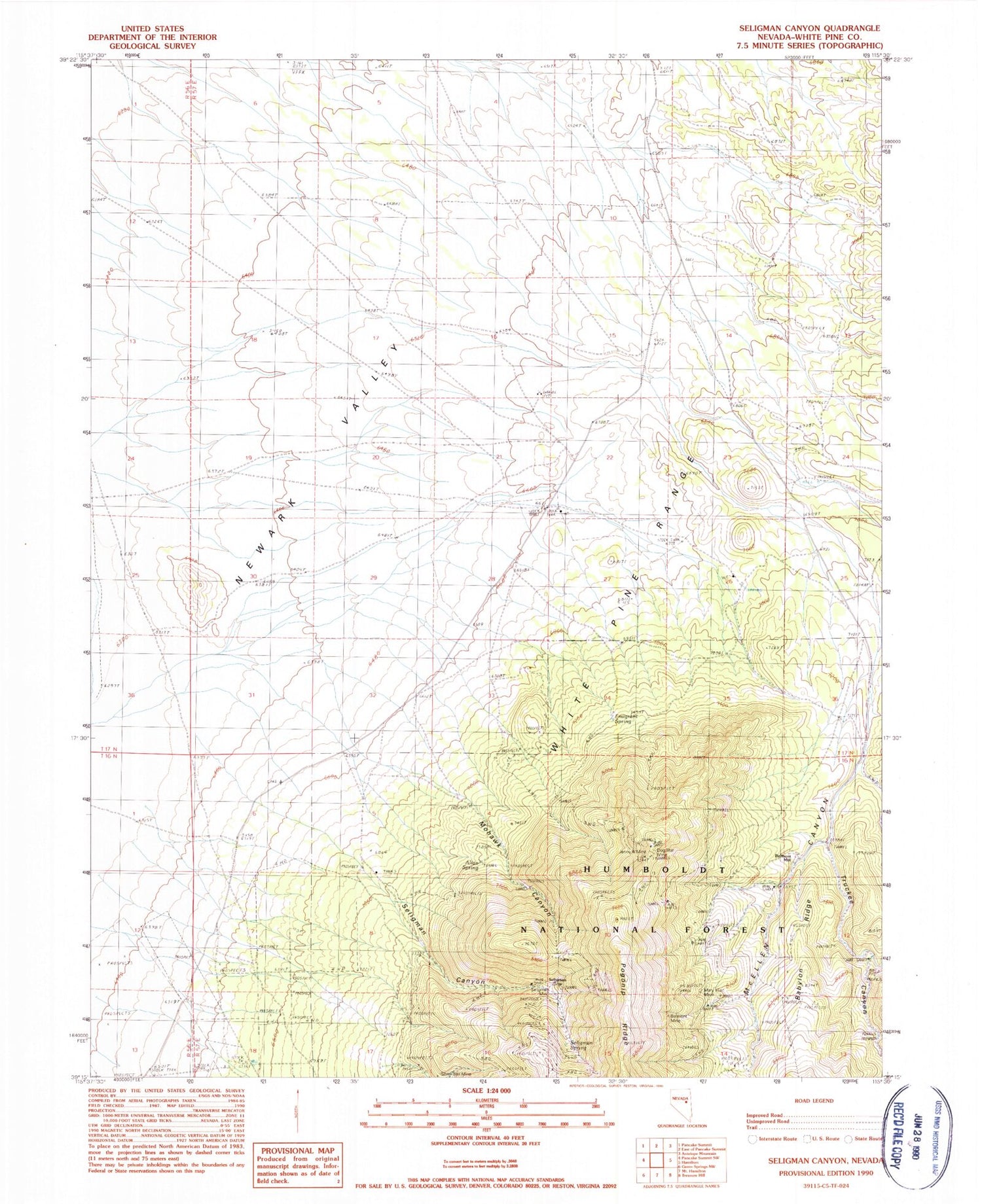
MyTopo
Classic USGS Seligman Canyon Nevada 7.5'x7.5' Topo Map
Couldn't load pickup availability
Historical USGS topographic quad map of Seligman Canyon in the state of Nevada. Map scale may vary for some years, but is generally around 1:24,000. Print size is approximately 24" x 27"
This quadrangle is in the following counties: White Pine.
The map contains contour lines, roads, rivers, towns, and lakes. Printed on high-quality waterproof paper with UV fade-resistant inks, and shipped rolled.
Contains the following named places: Allan Spring, Belmont Mill, Belmont Mine, Black Jack Mine, Carters Well, Dog Star Mine, Emigrant Spring, Jenny A Mine, Mary Ellen Mine, McEllen Canyon, McEllen Mine, Mohawk Canyon, Seligman, Seligman Canyon, Seligman Mine, Seligman Post Office, Seligman Spring, Silver Bell Mine, Truckee Canyon