MyTopo
Classic USGS Sells West Arizona 7.5'x7.5' Topo Map
Couldn't load pickup availability
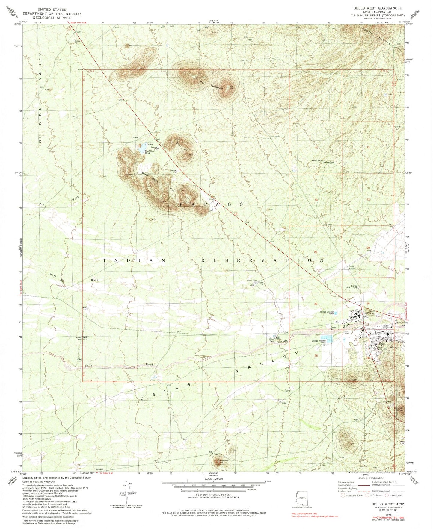
Historical USGS topographic quad map of Sells West in the state of Arizona. Map scale may vary for some years, but is generally around 1:24,000. Print size is approximately 24" x 27"
This quadrangle is in the following counties: Pima.
The map contains contour lines, roads, rivers, towns, and lakes. Printed on high-quality waterproof paper with UV fade-resistant inks, and shipped rolled.
Contains the following named places: Bird Nest Hill, Bird Nest Tank, Etoi Ki, Indian Oasis Primary Elementary School, Mimsh Wahia, Pan Nepodk, Papago Indian Agency, Papago Indian Tribal Council, Sells, Sells Airport, Sells Census Designated Place, Sells Indian Hospital, Sells Post Office, Tohono Oodham Nation Police Department