MyTopo
Classic USGS Selma Oregon 7.5'x7.5' Topo Map
Couldn't load pickup availability
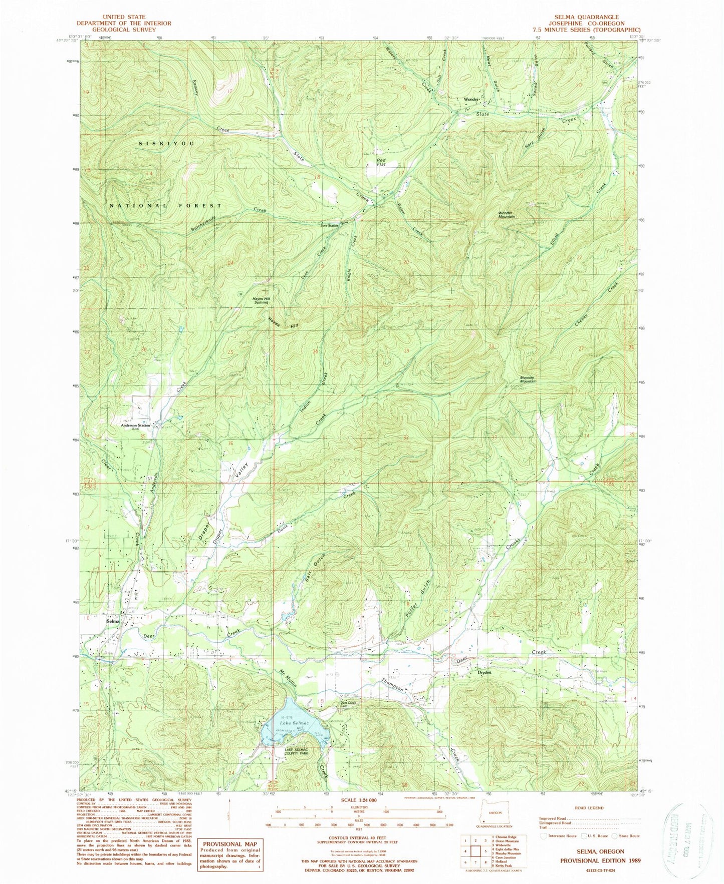
Historical USGS topographic quad map of Selma in the state of Oregon. Typical map scale is 1:24,000, but may vary for certain years, if available. Print size: 24" x 27"
This quadrangle is in the following counties: Josephine.
The map contains contour lines, roads, rivers, towns, and lakes. Printed on high-quality waterproof paper with UV fade-resistant inks, and shipped rolled.
Contains the following named places: Pollard Gulch, Anderson Creek, Anderson Station, Butcherknife Creek, Crooks Creek, Davis Creek, Deer Creek Cemetery, Draper Creek, Dryden, Elliott Creek, Grantham Gulch, Hare Gulch, Hayes Hill, Knight Creek, Love Creek, Love Station, McMullin Creek, Mooney Mountain, Newt Gulch, Ramsey Creek, Red Flat, Salt Creek, Selma, Slate Creek, Squaw Gulch, Thompson Creek, Waters Creek, Welter Creek, Wonder, Wonder Airport, Backachers Ranch Airport, Selma Cemetery, Hegan Creek, Schmitts Bayou, Salt Gulch, Hansen Creek, Booker Creek, Potter Gulch, Bonham Spring, Wonder Mountain, Azalea Spring, Brockhurst Creek, Quedo Creek, Josephine County, Tall Timber Dam, Tall Timber Reservoir, Pollard Creek, Lake Selmac Dam, Lake Selmac, Hayes Hill Summit, Draper Valley, Indian Creek, Lake Merritt, Lake Selmac County Park, Anderson Post Office (historical), Dryden Post Office (historical), Selma Post Office, Wonder Post Office (historical), Fort Hayes (historical), Illinois Valley Fire District Station 5, Illinois Valley Fire District Station 2, Selma Census Designated Place, Lake Selmac Boat Dock, Lake Selmac Boat Dock, Lake Selmac McMullen Creek Boat Launch, Lake Selmac Reeves Creek Boat Launch, Lake Selmac Boat Dock


