MyTopo
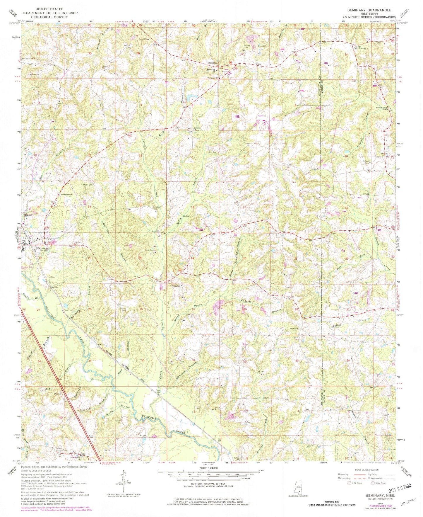
Classic USGS Seminary Mississippi 7.5'x7.5' Topo Map
Couldn't load pickup availability
Historical USGS topographic quad map of Seminary in the state of Mississippi. Map scale may vary for some years, but is generally around 1:24,000. Print size is approximately 24" x 27"
This quadrangle is in the following counties: Covington, Jones.
The map contains contour lines, roads, rivers, towns, and lakes. Printed on high-quality waterproof paper with UV fade-resistant inks, and shipped rolled.
Contains the following named places: Bethel, Bethel Baptist Church, Bethel Cemetery, Birdie Branch, Brownie Branch, Bryan School, Bullock Cemetery, Crosby Cemetery, Curry Creek, Double Branch, Eminence, Eminence Cemetery, Eminence School, Eminence United Methodist Church, Gandsi, Jessie Sanford Branch, Jesus Name Tabernacle, Katie Post Office, Kelly, Kelly Cemetery, Kelly Creek, King Branch, Lebanon Baptist Church, Lebanon Cemetery, Longview Church, Lower Prong, Lowery Creek Baptist Church, Manasco Branch, Military Branch, Mooney Branch, Moore Cemetery, Morgan Field, Moscos, Moscos Cemetery, Moscos School, Mount Tabor Holiness Church, Mount Tabor School, Napier Mill, Neeley Branch, Oak Bowery, Oak Grove Line School, Padgett Branch, Pickering, Pickering School, Pine Ridge School, Sanctified Church, Sanford Lookout Tower, Seminary, Seminary Attendance Center, Seminary Baptist Church, Seminary Falls, Seminary Police Department, Seminary Post Office, Seminary Presbyterian Church, Seminary Volunteer Fire Department, Shop Branch, Sitka Post Office, Speed Cemetery, Supervisor District 2, Taylor Branch, Town of Seminary, Union, Union Baptist Church, Union Cemetery, Union Senior Cemetery, Walters Cemetery, Walton School, West Fork, Williamson Cemetery, Wolfpen Branch, Zion Seminary College, ZIP Code: 39479