MyTopo
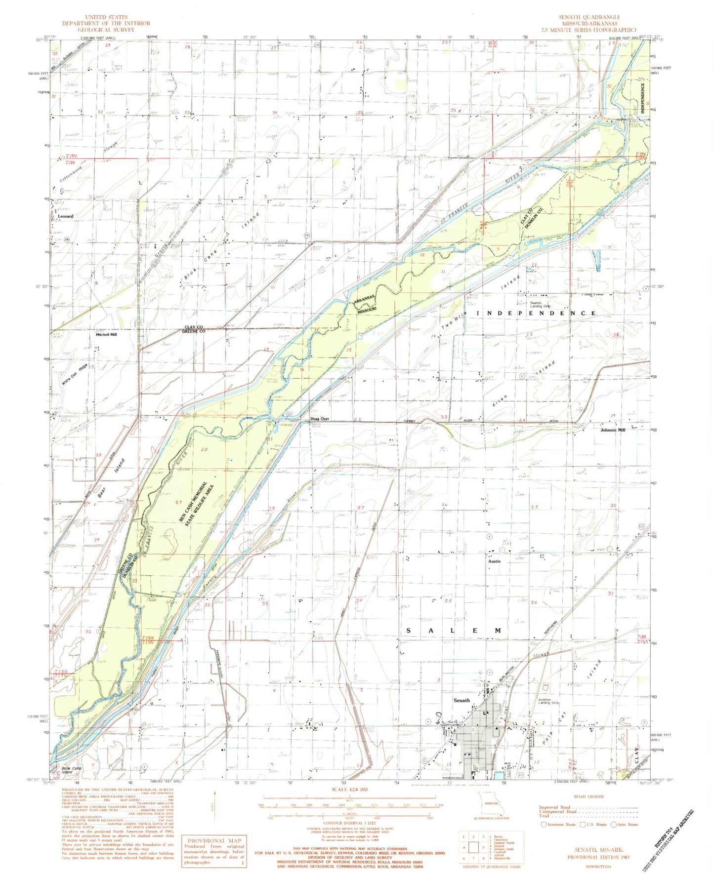
Classic USGS Senath Missouri 7.5'x7.5' Topo Map
Couldn't load pickup availability
Historical USGS topographic quad map of Senath in the states of Missouri, Arkansas. Map scale may vary for some years, but is generally around 1:24,000. Print size is approximately 24" x 27"
This quadrangle is in the following counties: Clay, Dunklin, Greene.
The map contains contour lines, roads, rivers, towns, and lakes. Printed on high-quality waterproof paper with UV fade-resistant inks, and shipped rolled.
Contains the following named places: Allen Island, Allen Island Church, Allen Island School, Austin, Austin School, Aviation Landing Strip, Bear Island, Beech Corner School, Ben Cash Memorial State Wildlife Area, Bethel Church, Bible Grove Church, Blue Cane Chapel, Blue Cane Island, Buffalo Ditch Number 39, City of Senath, Cypress Point, Ditch Number 34, Ditch Number 5, Drag Over, Grassy Slough, Hickory Donnick, Holly Island Gage, Johnson Mill, KTMO-FM (Kennett), Lanier Cemetery, Leonard, Leonard Cemetery, Leonard Church, Main Ditch, McGrew Cemetery, Mill Town Church, Mitchell Mill, Octa Church, Old Channel Varney River, Pentecost Church, Pole Cat Island, Senath, Senath Cemetery, Senath Fire Department, Senath Police Department, Senath Post Office, Simmons Church, Skelton Landing Strip, Tar Blanket Lodge, Township of Blue Cane, Two Mile Island, Ward School, White Oak, White Oak Church, White Oak Ridge, White Oak School, ZIP Code: 63876


