MyTopo
Classic USGS Senator Mountain Arizona 7.5'x7.5' Topo Map
Regular price
$16.95
Regular price
Sale price
$16.95
Unit price
per
Couldn't load pickup availability
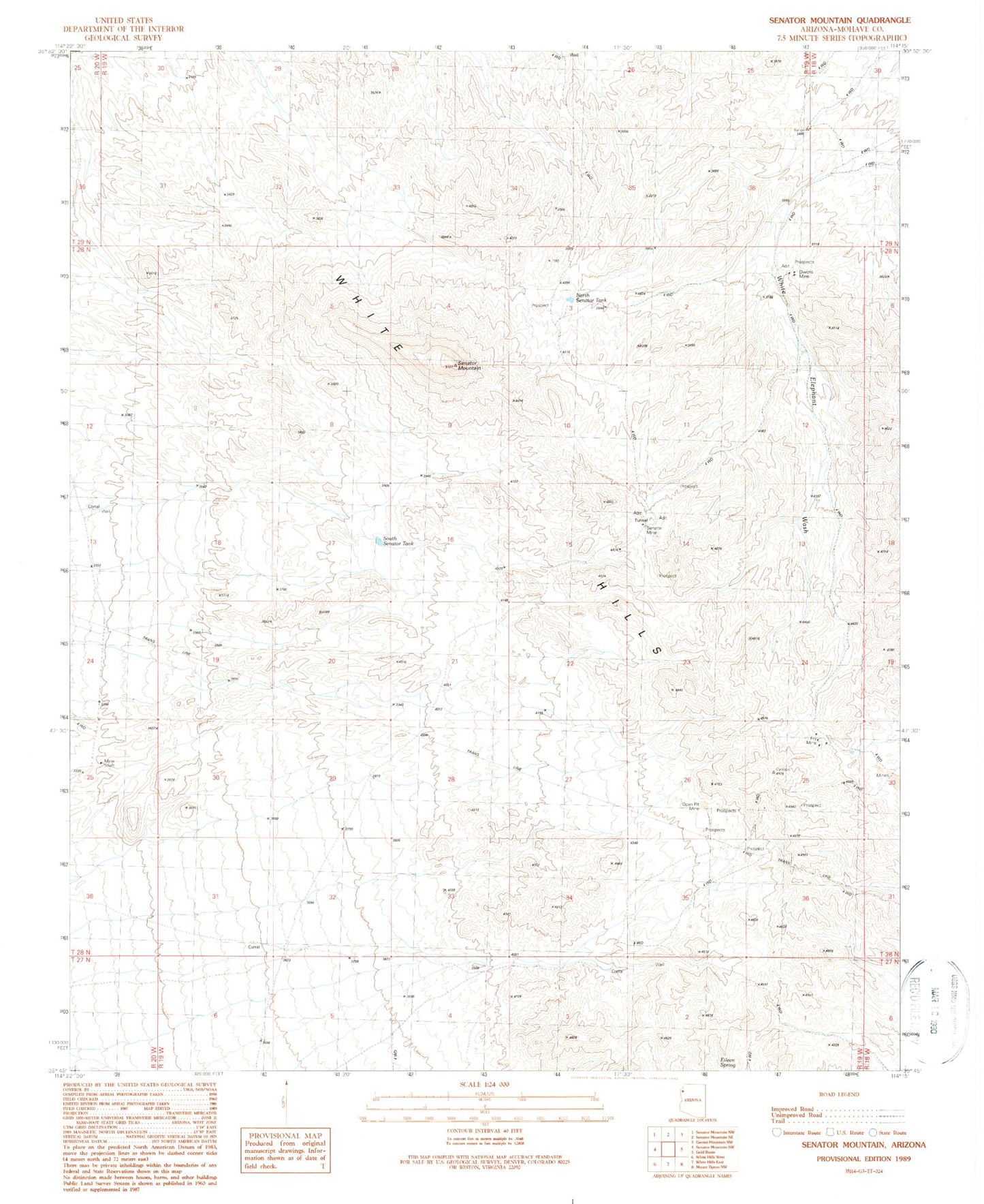
Historical USGS topographic quad map of Senator Mountain in the state of Arizona. Map scale may vary for some years, but is generally around 1:24,000. Print size is approximately 24" x 27"
This quadrangle is in the following counties: Mohave.
The map contains contour lines, roads, rivers, towns, and lakes. Printed on high-quality waterproof paper with UV fade-resistant inks, and shipped rolled.
Contains the following named places: Cyclopic Pumping Station, Eileen Spring, Fry Mine, North Senator Tank, Owens Mine, Senator Mine, Senator Mountain, South Senator Tank, Spear Ranch, White Hills