MyTopo
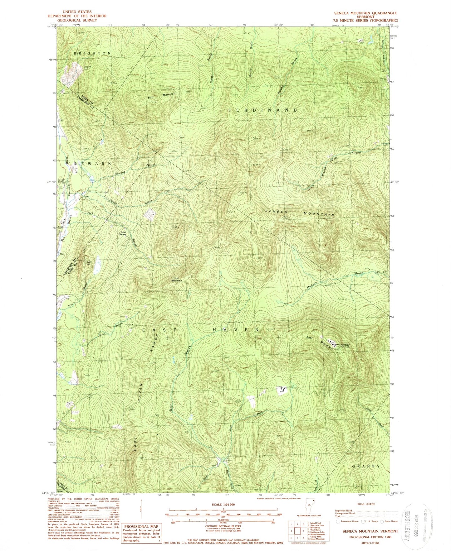
Classic USGS Seneca Mountain Vermont 7.5'x7.5' Topo Map
Couldn't load pickup availability
Historical USGS topographic quad map of Seneca Mountain in the state of Vermont. Typical map scale is 1:24,000, but may vary for certain years, if available. Print size: 24" x 27"
This quadrangle is in the following counties: Caledonia, Essex.
The map contains contour lines, roads, rivers, towns, and lakes. Printed on high-quality waterproof paper with UV fade-resistant inks, and shipped rolled.
Contains the following named places: Bull Mountain, Deer Hill, East Branch Moose River, East Haven Range, East Mountain, Greer Brook, Howard Brook, Jack Brook, King Brook, La Pawac Brook, Seneca Mountain, Starr Mountain, West Branch Moose River, Lost Nation, Town of East Haven, Town of Ferdinand, Howard Family Cemetery, Lyndonville Air Force Station (historical)