MyTopo
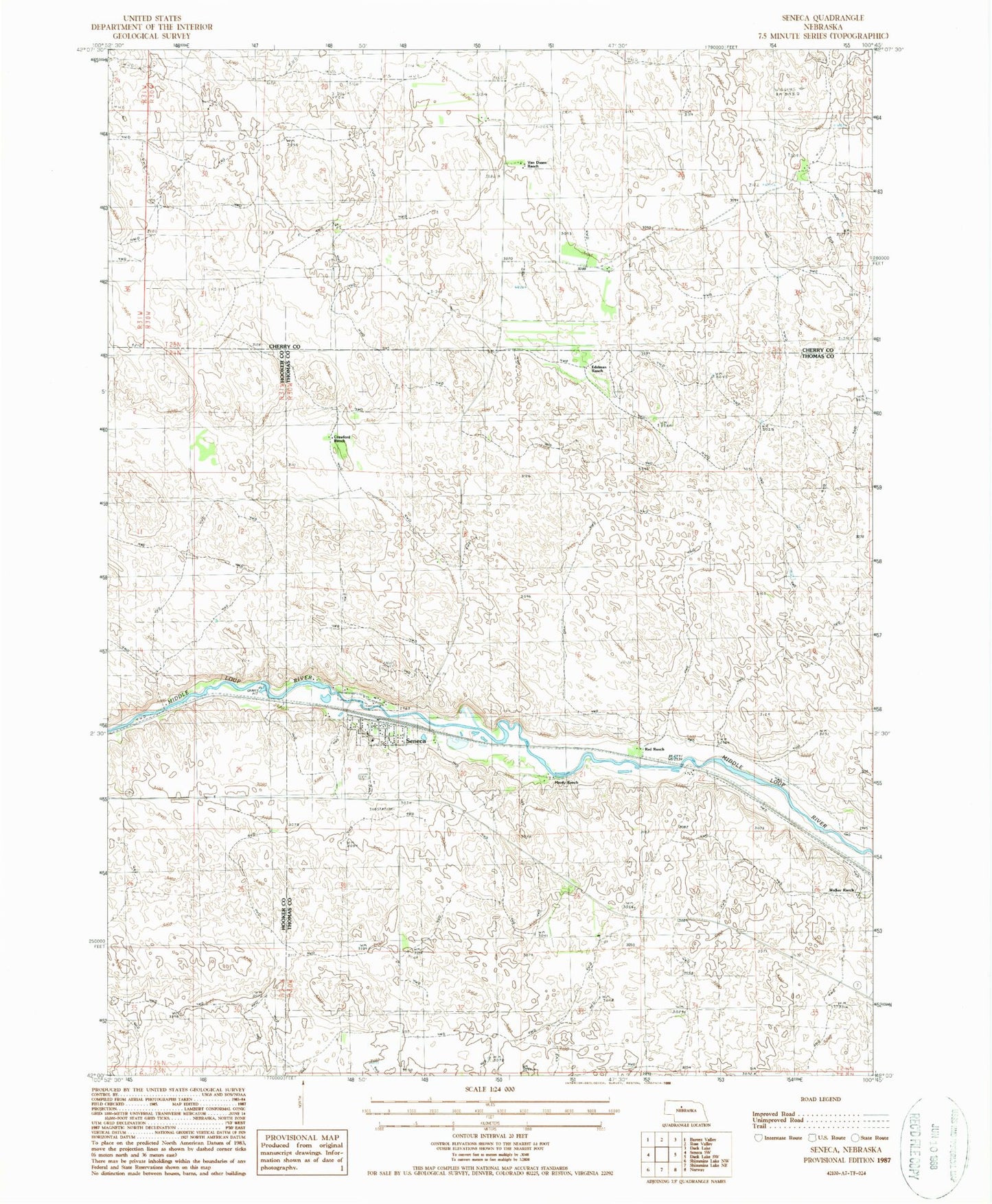
Classic USGS Seneca Nebraska 7.5'x7.5' Topo Map
Regular price
$16.95
Regular price
Sale price
$16.95
Unit price
per
Couldn't load pickup availability
Historical USGS topographic quad map of Seneca in the state of Nebraska. Map scale may vary for some years, but is generally around 1:24,000. Print size is approximately 24" x 27"
This quadrangle is in the following counties: Cherry, Hooker, Thomas.
The map contains contour lines, roads, rivers, towns, and lakes. Printed on high-quality waterproof paper with UV fade-resistant inks, and shipped rolled.
Contains the following named places: Crawford Ranch, Edelman Ranch, Hardy Ranch, Red Ranch, Seneca, Seneca Census Designated Place, Seneca Post Office, Seneca Volunteer Fire Department, United Church of Christ, Van Dusen Ranch, Village of Seneca, Walker Ranch, West Seneca