MyTopo
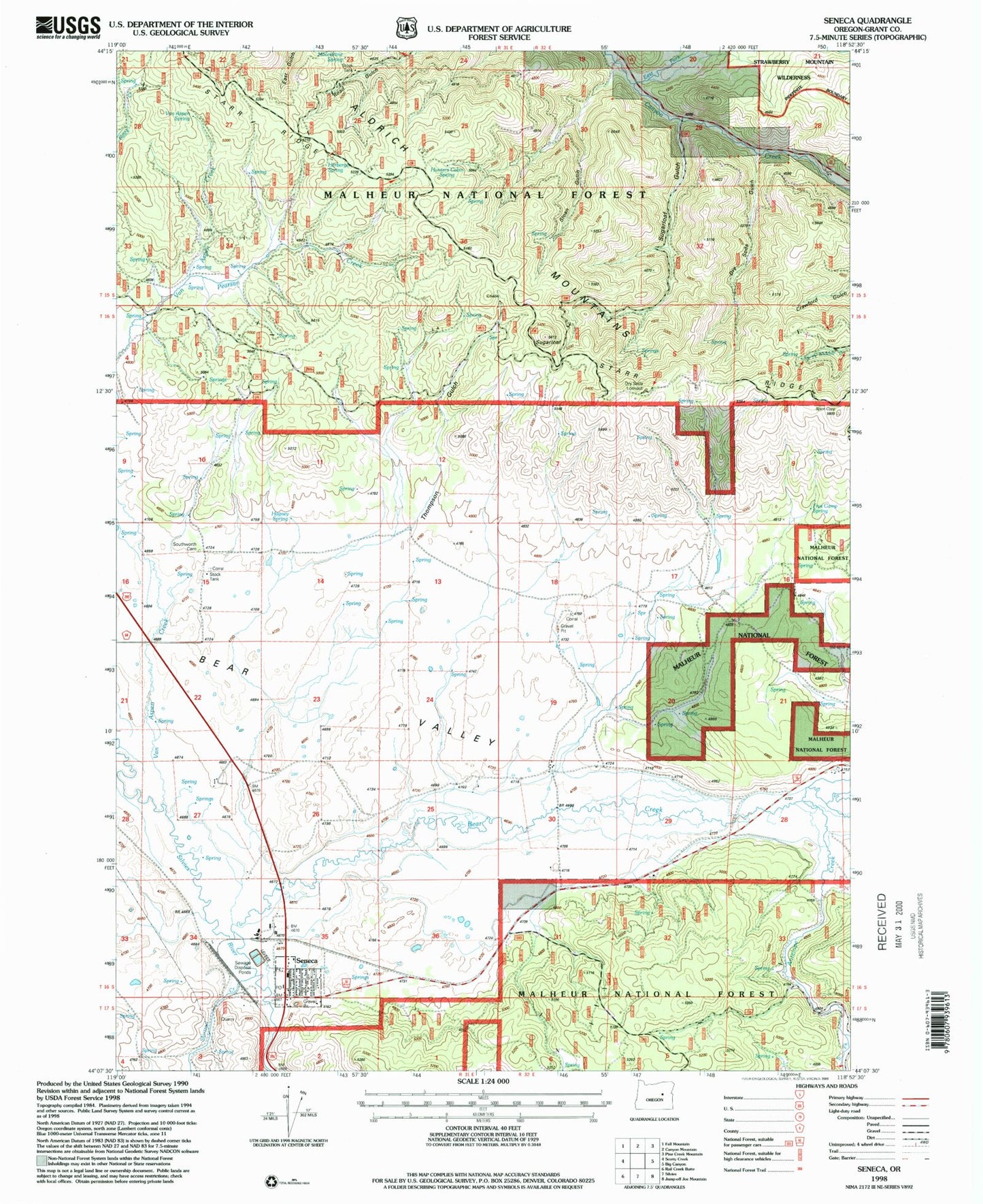
Classic USGS Seneca Oregon 7.5'x7.5' Topo Map
Couldn't load pickup availability
Historical USGS topographic quad map of Seneca in the state of Oregon. Map scale may vary for some years, but is generally around 1:24,000. Print size is approximately 24" x 27"
This quadrangle is in the following counties: Grant.
The map contains contour lines, roads, rivers, towns, and lakes. Printed on high-quality waterproof paper with UV fade-resistant inks, and shipped rolled.
Contains the following named places: Antelope Creek, Bear Creek, Big Glade Spring, Biggs Ranch, Bull Run Reservoir, Bull Run Spring, City of Seneca, Dry Soda Gulch, Dry Soda Lookout, East Fork Canyon Creek, Frys Camp Spring, H S Johnson Dam, H S Johnson Reservoir, Hagney Spring, Herberger Spring, Honeymoon Creek, Hunters Cabin Spring, Jimmy Creek, Moonshine Spring, Oliver Ranch, Pearson Creek, Rex Reservoir, Seneca, Seneca City Hall, Seneca Elementary School, Seneca Emergency Airstrip, Seneca Post Office, Seneca Public Works Department Office, Seneca Substation, Seneca Volunteer Fire Department, Seneca Wastewater Treatment Lagoon, Seneca Well, Shields Spring, Shirttail Creek, Sloan Gulch, South Fork Antelope Creek, Southworth Cemetery, Southworth Ditch, Southworth Ranch, Starr Ridge, Sugarloaf, Sugarloaf Gulch, Sugarloaf Spring, Thompson Gulch, Van Aspen Spring, Yeoville Post Office


