MyTopo
Classic USGS Serviceberry Butte Idaho 7.5'x7.5' Topo Map
Regular price
$16.95
Regular price
Sale price
$16.95
Unit price
per
Couldn't load pickup availability
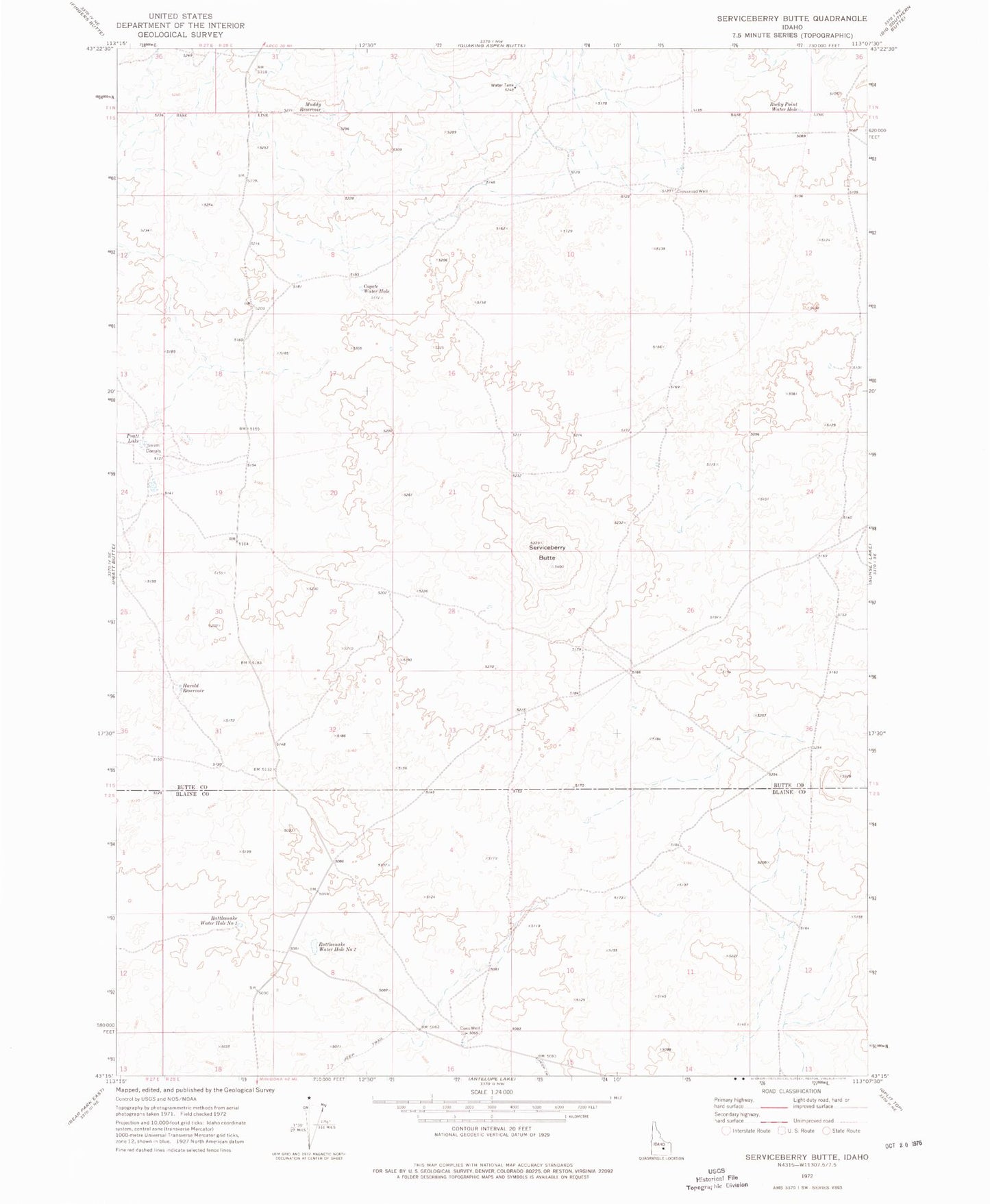
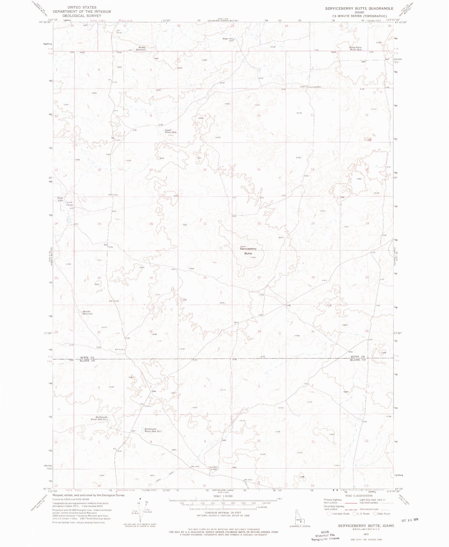
Historical USGS topographic quad map of Serviceberry Butte in the state of Idaho. Map scale may vary for some years, but is generally around 1:24,000. Print size is approximately 24" x 27"
This quadrangle is in the following counties: Blaine, Butte.
The map contains contour lines, roads, rivers, towns, and lakes. Printed on high-quality waterproof paper with UV fade-resistant inks, and shipped rolled.
Contains the following named places: Coxs Well, Coyote Water Hole, Crossroad Well, Harold Reservoir, Muddy Reservoir, Pratt Lake, Rattlesnake Water Hole Number One, Rattlesnake Water Hole Number Two, Rocky Point Water Hole, Serviceberry Butte, Smith Corrals