MyTopo
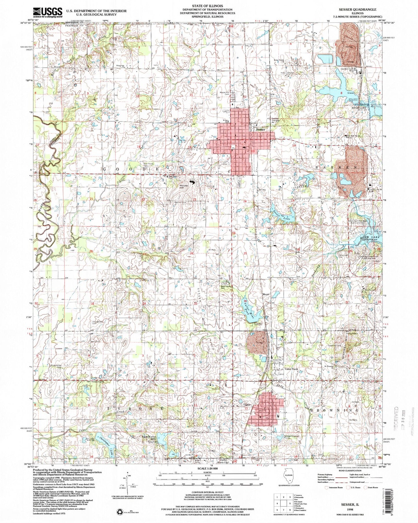
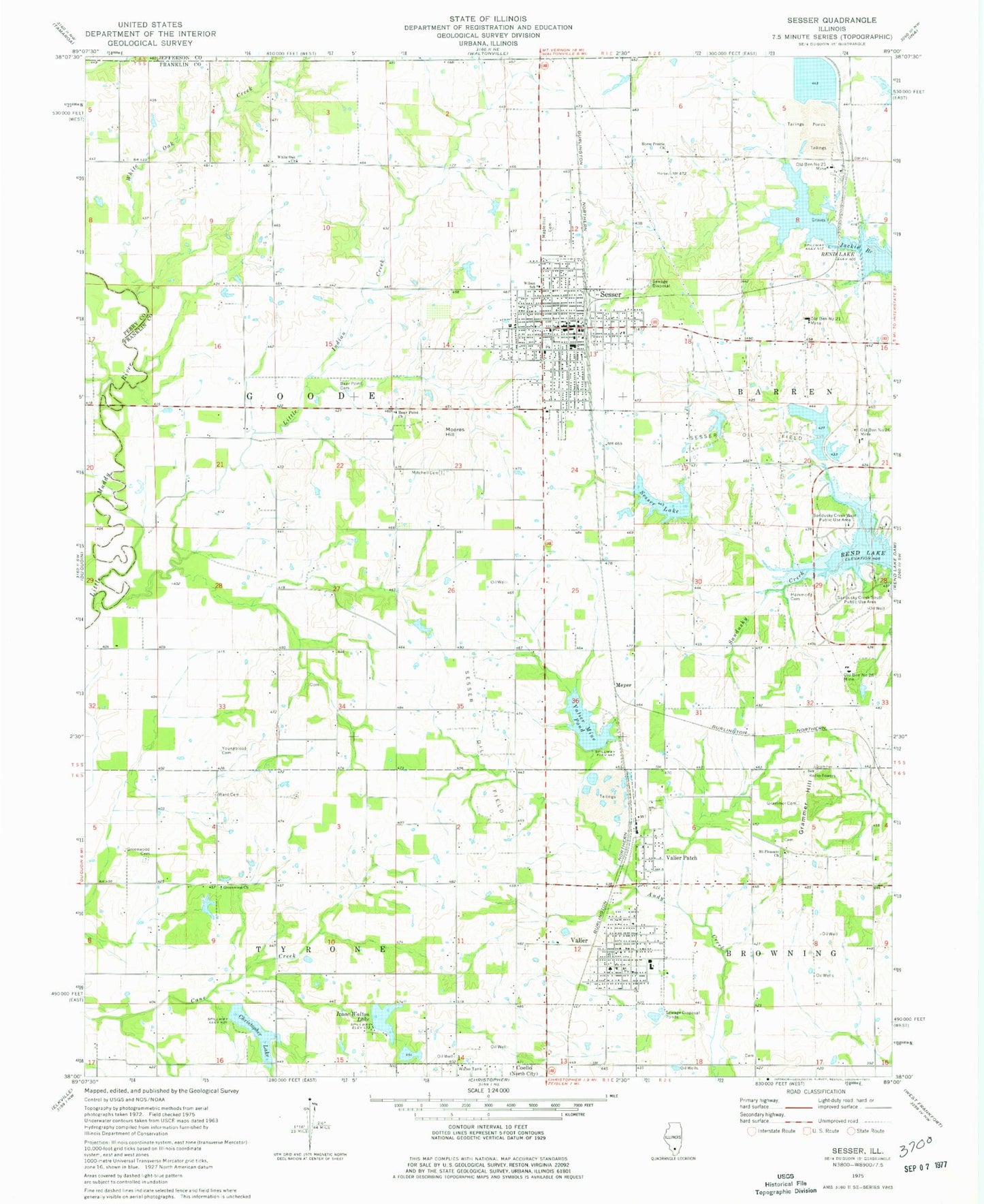
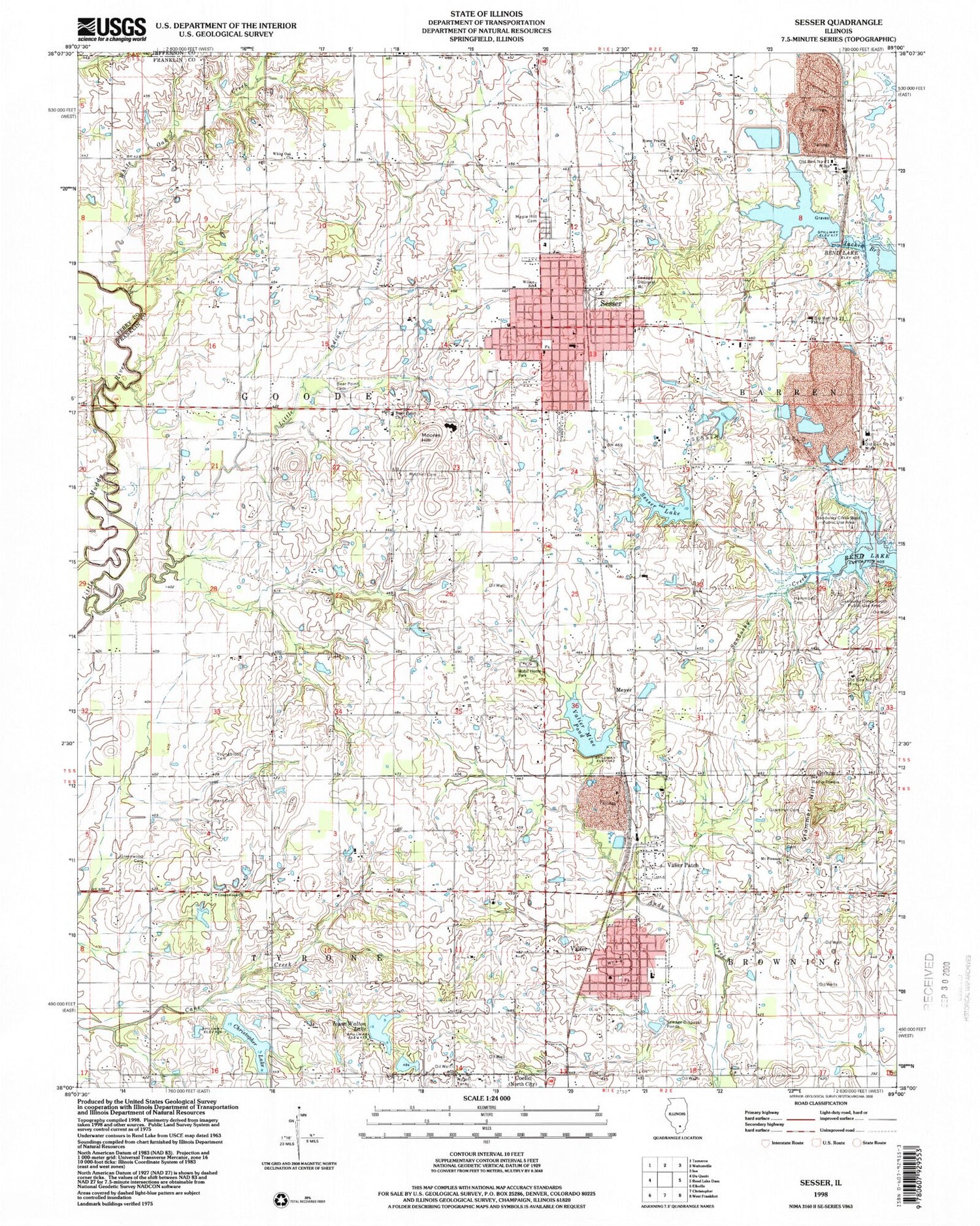
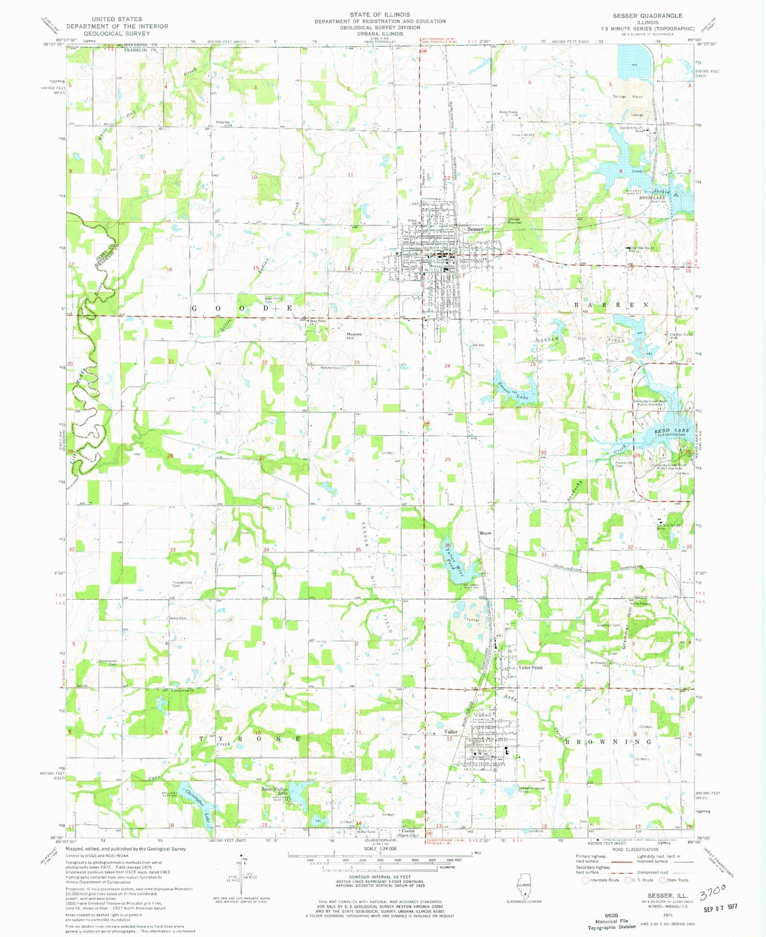
Classic USGS Sesser Illinois 7.5'x7.5' Topo Map
Couldn't load pickup availability
Historical USGS topographic quad map of Sesser in the state of Illinois. Map scale may vary for some years, but is generally around 1:24,000. Print size is approximately 24" x 27"
This quadrangle is in the following counties: Franklin, Jefferson, Perry.
The map contains contour lines, roads, rivers, towns, and lakes. Printed on high-quality waterproof paper with UV fade-resistant inks, and shipped rolled.
Contains the following named places: Apostolic Church, Bear Point Cemetery, Bear Point Church, Bear Point School, Christopher Lake, Christopher New Reservoir Dam, Church of Christ, Church of God, City of Sesser, City of Sesser Reservoir Dam, East Center School, First Christian Church, First United Methodist Church, Gallaway Bridge, Grammer Cemetery, Grammer Hill, Greenwood Cemetery, Greenwood Church, Hammond Cemetery, Horse Prairie Baptist Church, Izaac Walton Lake, Keller School, King Creek School, Little Indian Creek, Maple Hill Cemetery, Martin School, McClasson School, Meyer, Mine Number 21 Dam, Mitchell Cemetery, Moores Hill, Mount Pleasant Church, Mount Pleasant School, Old Ben Number 21 Mine, Old Ben Number 26 Mine, Old Keller Mine, Prosperity Post Office, Robtown School, Saint Marys Catholic Church, Sandusky Creek South Public Use Area, Sandusky Creek West Public Use Area, Sesser, Sesser Fire Protection District, Sesser Lake, Sesser Oil Field, Sesser Post Office, Sesser-Valier High School, Township of Goode, Valier, Valier Fire Department, Valier Lake, Valier Lake Dam, Valier Mine Pond, Valier Patch, Valier Post Office, Village of Valier, Ward Cemetery, West Center School, White Oak Church, White Oak Creek, Whiteoak School, Wilson School, Youngblood Cemetery, ZIP Codes: 62884, 62891