MyTopo
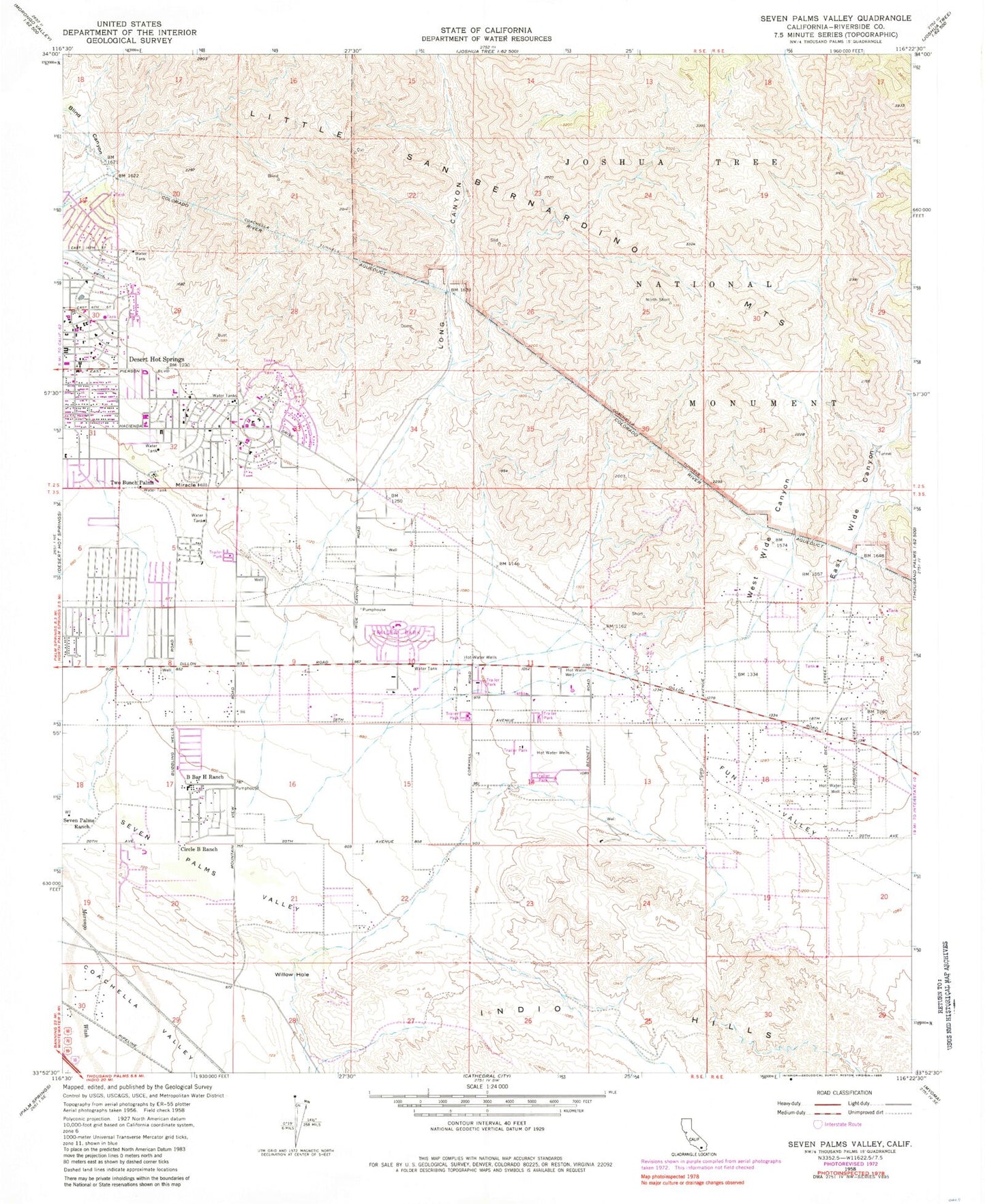
Classic USGS Seven Palms Valley California 7.5'x7.5' Topo Map
Couldn't load pickup availability
Historical USGS topographic quad map of Seven Palms Valley in the state of California. Map scale may vary for some years, but is generally around 1:24,000. Print size is approximately 24" x 27"
This quadrangle is in the following counties: Riverside.
The map contains contour lines, roads, rivers, towns, and lakes. Printed on high-quality waterproof paper with UV fade-resistant inks, and shipped rolled.
Contains the following named places: Angel View, B Bar H Ranch, Bubbling Wells Elementary School, Cabots Old Indian Pueblo and Museum, Circle B Ranch, Coachella Tunnels, Desert Crest Country Club, Desert Dunes Golf Course, Desert Edge, Desert Edge Census Designated Place, Desert Springs Middle School, E Bar B Ranch, East Wide Canyon, Eastside Neighborhood Park, Garnet Census Designated Place, Julius Corsini Elementary School, KPSI-FM (Palm Springs), KUTE-AM (Desert Hot Springs), Long Canyon, Mills Ranch, Miracle Hill, Mission Springs Park, Riverside County Fire Department Station 56 Sky Valley, Seven Palms Ranch, Seven Palms Valley, Two Bunch Palms, West Wide Canyon, Willow Hole, Yerxo Trading Post