MyTopo
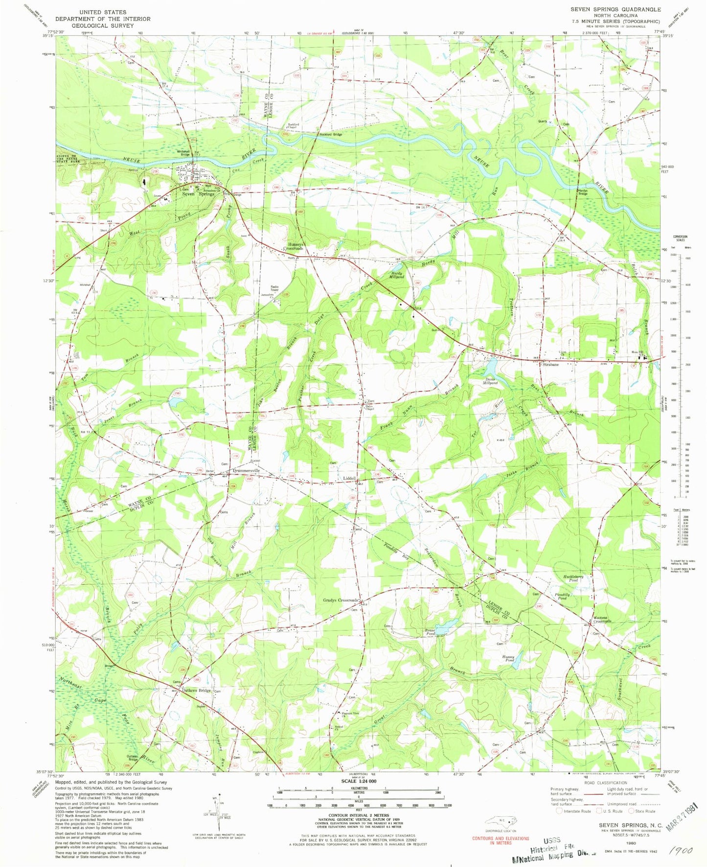
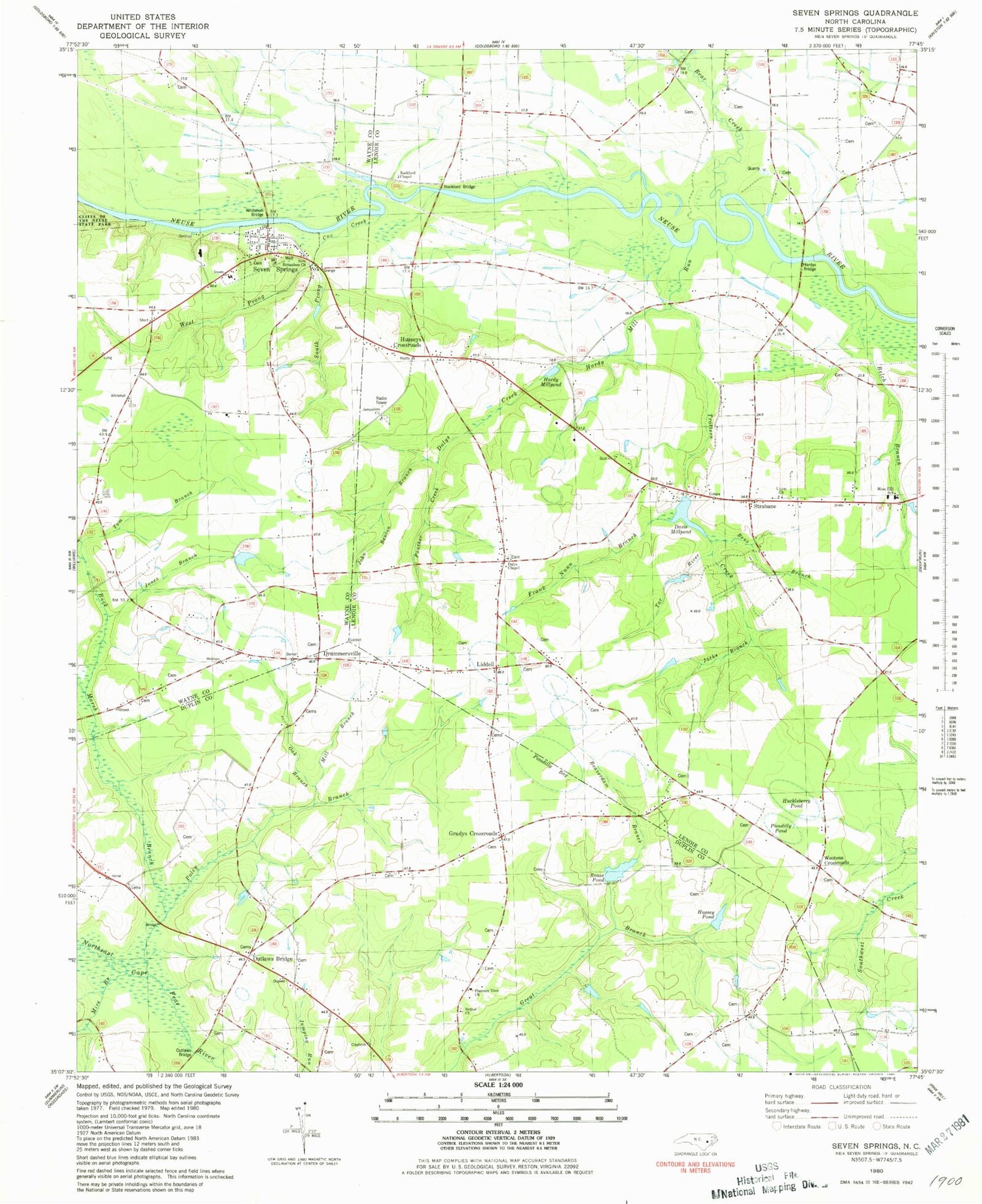
Classic USGS Seven Springs North Carolina 7.5'x7.5' Topo Map
Couldn't load pickup availability
Historical USGS topographic quad map of Seven Springs in the state of North Carolina. Map scale may vary for some years, but is generally around 1:24,000. Print size is approximately 24" x 27"
This quadrangle is in the following counties: Duplin, Lenoir, Wayne.
The map contains contour lines, roads, rivers, towns, and lakes. Printed on high-quality waterproof paper with UV fade-resistant inks, and shipped rolled.
Contains the following named places: Albertson Tabernacle, Bear Creek, Beaverdam Branch, Belch Branch, Bens Branch, Bethel Church, Buck Marsh Branch, Cabin Branch, Cox Creek, Dalys Chapel, Dalys Creek, Davis Millpond, Davis Millpond Dam, Davis Pond, Davis Pond Dam, Deerhaven Mobile Home Park, Drummersville, Frank Nunn Branch, Gradys Chapel, Gradys Crossroads, Hardy Mill Run, Hardy Millpond, Hardys Bridge, Holy Innocence Church, Huckleberry Pond, Hussey Pond, Husseys Crossroads, Jacks Branch, Jerusalem Church, John Benton Branch, Jones Branch, Liddell, Mill Branch, Mire Branch, Moss Hill Airport, Moss Hill School, New Jerusalem Church, Oak Branch, Outlaws Bridge, Outlaws Bridge Church, Panther Creek, Picadilly Bay, Picadilly Pond, Pleasant View Church, Poley Branch, Rockford Bridge, Rockford Chapel, Rouse Pond, Seven Springs, Seven Springs Emergency Medical Services - Wayne County Station 1, Seven Springs Post Office, Seven Springs Volunteer Fire Department - Wayne County Station 9, South Prong Cox Creek, Strabane, Tar River, Tom Branch, Town of Seven Springs, Trotters Creek, Union Church, West Prong Cox Creek, Whitehall Bridge, Wootens Crossroads, ZIP Code: 28578


