MyTopo
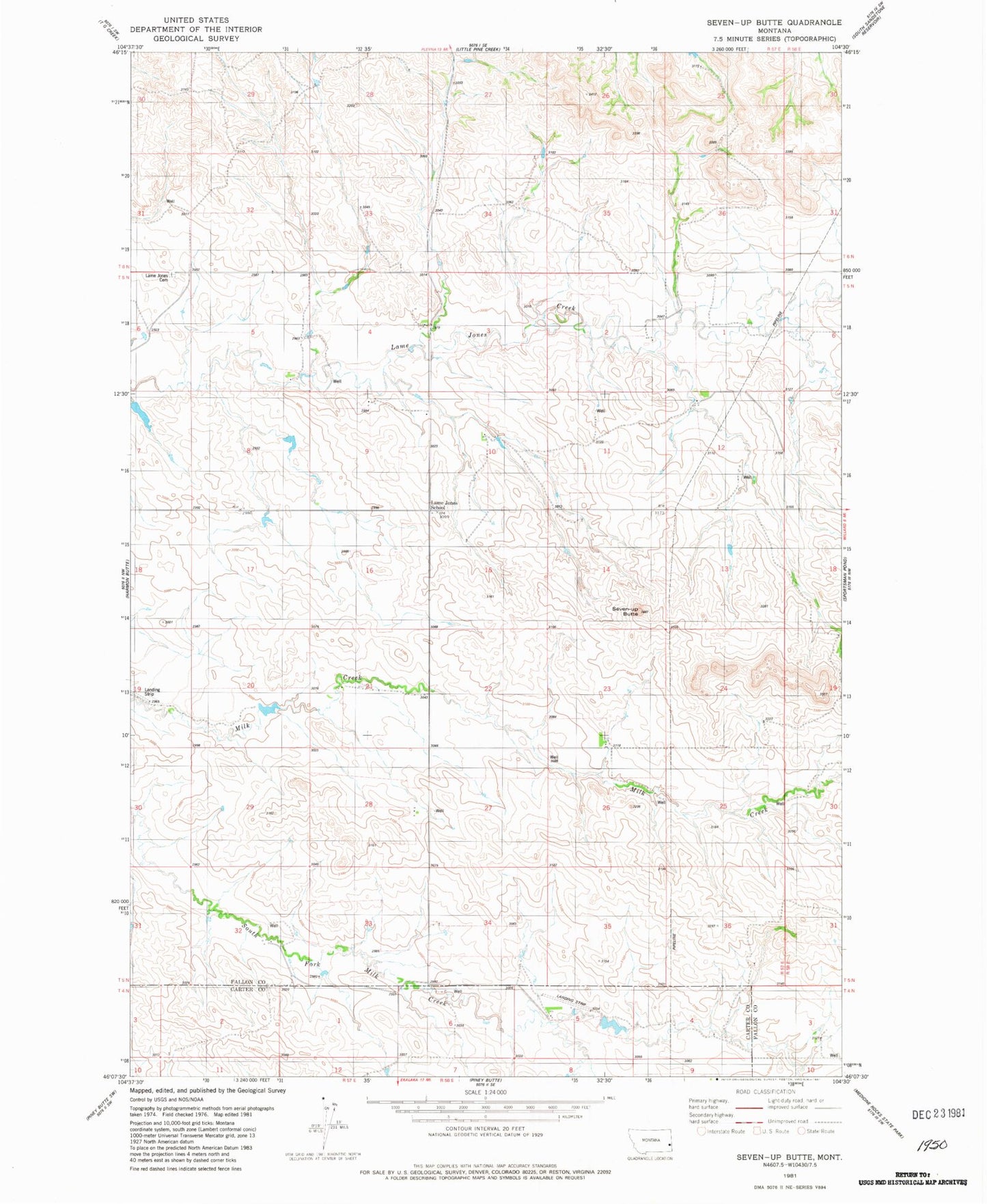
Classic USGS Seven-up Butte Montana 7.5'x7.5' Topo Map
Couldn't load pickup availability
Historical USGS topographic quad map of Seven-up Butte in the state of Montana. Map scale may vary for some years, but is generally around 1:24,000. Print size is approximately 24" x 27"
This quadrangle is in the following counties: Carter, Fallon.
The map contains contour lines, roads, rivers, towns, and lakes. Printed on high-quality waterproof paper with UV fade-resistant inks, and shipped rolled.
Contains the following named places: 04N57E04CCC_01 Well, 05N57E04AD__01 Well, 05N57E04ADAC01 Well, 05N57E04BD__01 Well, 05N57E05DDAA01 Well, 05N57E12AB__01 Well, 05N57E12DBDC01 Well, 05N57E12DC__01 Well, 05N57E13BD__01 Well, 05N57E33CC__01 Well, 05N57E34BC__01 Well, 05N57E34BCCD01 Well, 05N57E36DCAA01 Well, 06N57E32DC__01 Well, Calumet Post Office, Ed Rath Number 1 Dam, Lame Jones Cemetery, Lame Jones School, Palm Ranch Number 2 Dam, Riley Number 1 Dam, Seven-up Butte