MyTopo
Classic USGS Sevenmile Gulch Wyoming 7.5'x7.5' Topo Map
Regular price
$16.95
Regular price
Sale price
$16.95
Unit price
per
Couldn't load pickup availability
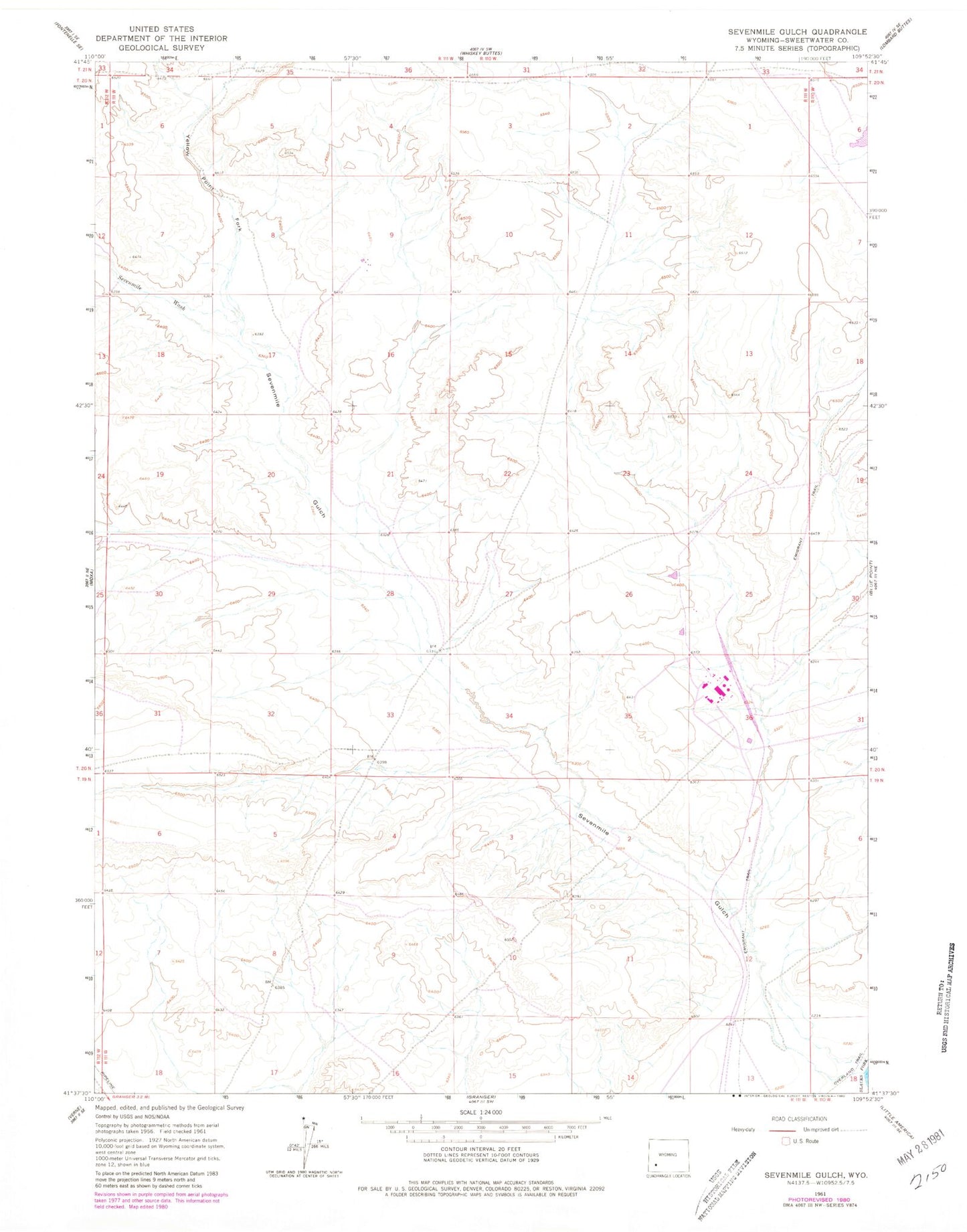
Historical USGS topographic quad map of Sevenmile Gulch in the state of Wyoming. Map scale may vary for some years, but is generally around 1:24,000. Print size is approximately 24" x 27"
This quadrangle is in the following counties: Sweetwater.
The map contains contour lines, roads, rivers, towns, and lakes. Printed on high-quality waterproof paper with UV fade-resistant inks, and shipped rolled.
Contains the following named places: Sevenmile Gulch, Sevenmile Wash, Texasgulf Emergency Pond Number 2, Texasgulf Emergency Pond Number 2 Dam, Texasgulf Soda Ash Project Mine, Yellow Point Fork Sevenmile Gulch