MyTopo
Classic USGS Sevenmile Hill Montana 7.5'x7.5' Topo Map
Regular price
$16.95
Regular price
Sale price
$16.95
Unit price
per
Couldn't load pickup availability
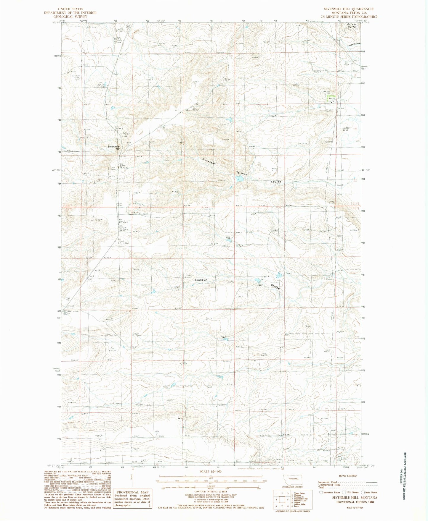
Historical USGS topographic quad map of Sevenmile Hill in the state of Montana. Map scale may vary for some years, but is generally around 1:24,000. Print size is approximately 24" x 27"
This quadrangle is in the following counties: Teton.
The map contains contour lines, roads, rivers, towns, and lakes. Printed on high-quality waterproof paper with UV fade-resistant inks, and shipped rolled.
Contains the following named places: 22N05W26ACCC01 Well, 22N05W26CDAD01 Well, 23N04W20DDDD01 Well, Anderson Coulee, Cascade Canal, Costly Coulee Reservoir Dam, Delaney Coulee, French Coulee, Sevenmile Hill, Silverman Springs Coulee