MyTopo
Classic USGS Seventeen Palms California 7.5'x7.5' Topo Map
Regular price
$16.95
Regular price
Sale price
$16.95
Unit price
per
Couldn't load pickup availability
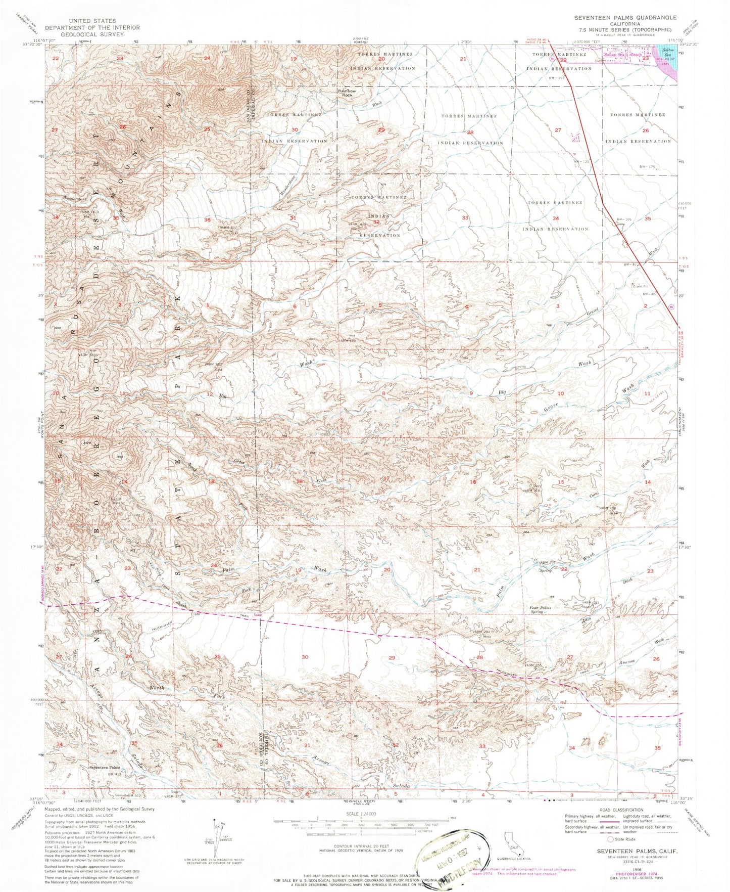
Historical USGS topographic quad map of Seventeen Palms in the state of California. Typical map scale is 1:24,000, but may vary for certain years, if available. Print size: 24" x 27"
This quadrangle is in the following counties: Imperial, San Diego.
The map contains contour lines, roads, rivers, towns, and lakes. Printed on high-quality waterproof paper with UV fade-resistant inks, and shipped rolled.
Contains the following named places: Calcite Mine, Calcite Road, Four Palms Spring, North Fork Palm Wash, Rainbow Rock, Seventeen Palms, South Fork Palm Wash, Truckhaven Trail, Salton Sea Service Station, Seventeen Palms Spring, Salton Sea Beach Volunteer Fire Department, Hazard Fish Springs Pit