MyTopo
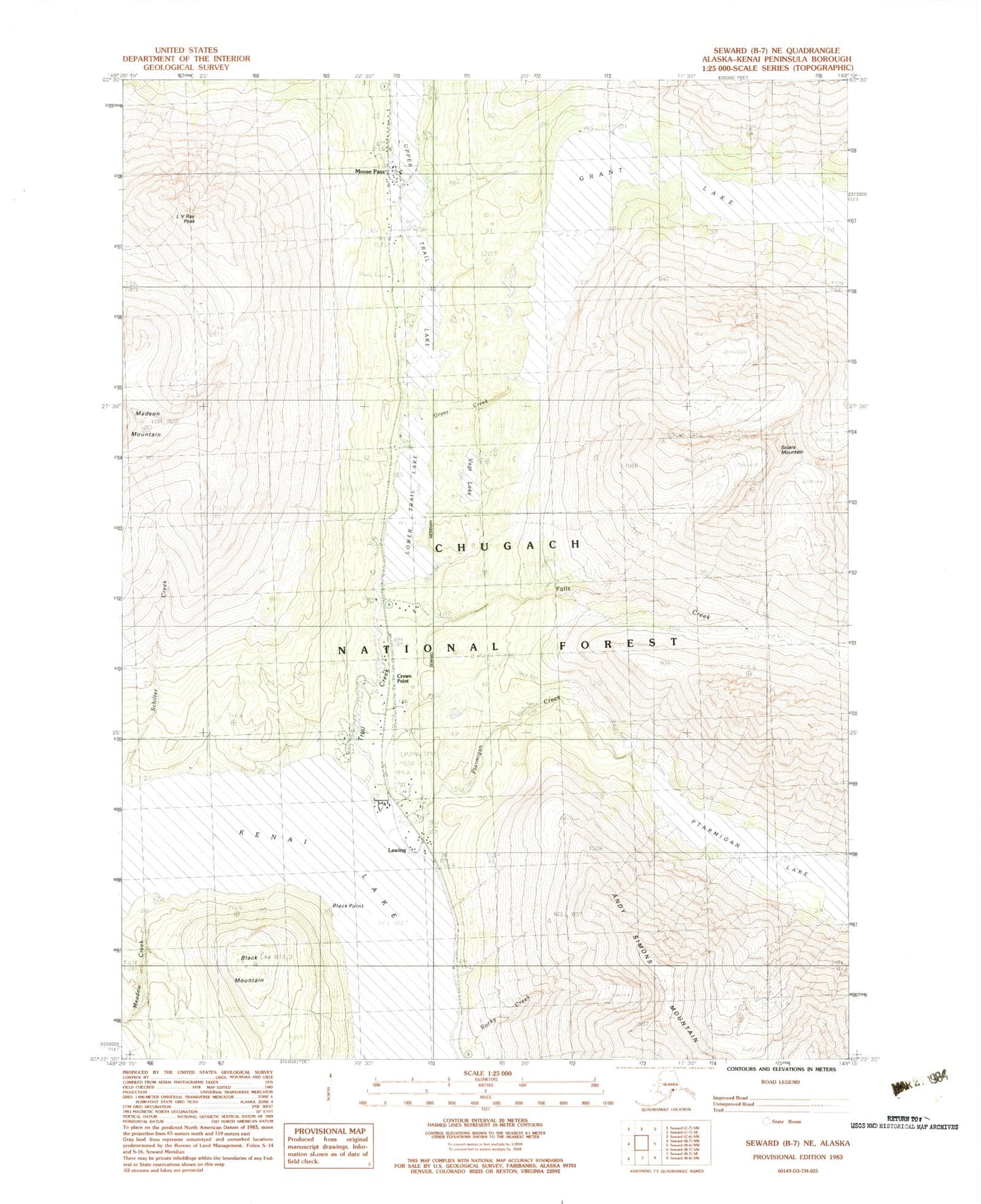
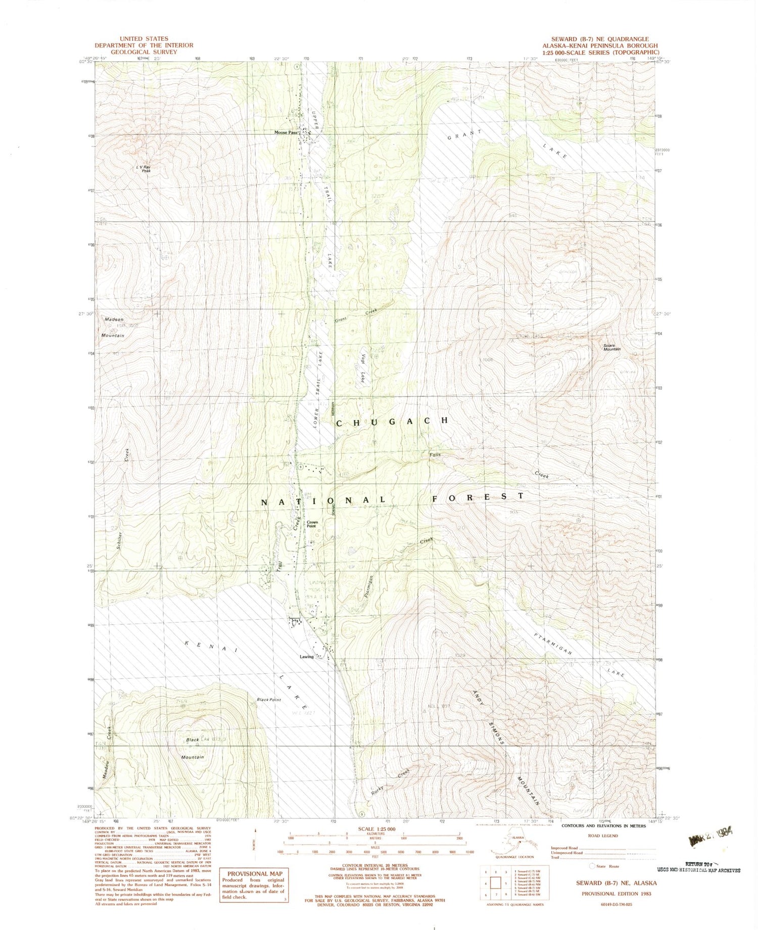
Classic USGS Seward B-7 NE Alaska 7.5'x7.5' Topo Map
Couldn't load pickup availability
Historical USGS topographic quad map of Seward B-7 NE in the state of Alaska. Map scale may vary for some years, but is generally around 1:24,000. Print size is approximately 24" x 27"
This quadrangle is in the following counties: Kenai Peninsula.
The map contains contour lines, roads, rivers, towns, and lakes. Printed on high-quality waterproof paper with UV fade-resistant inks, and shipped rolled.
Contains the following named places: Black Mountain, Black Point, Case Mine, Crown Point, Crown Point Census Designated Place, Crown Point Mine, Falls, Falls Creek, Falls Creek Mine, Grant Creek, Grant Lake, Grant Lake Trail, Kenai Work Center, L V Ray Peak, Lawing, Lawing Airport, Lower Trail Lake, Meadow Creek, Meadow Creek Camp, Moose Pass, Moose Pass Post Office, Moose Pass Volunteer Fire Company, Mount Madson, Muskwa Village, Ptarmigan Creek, Ptarmigan Creek Campground, Ptarmigan Creek Trail, Ptarmigan Lake, Rocky Creek, Roycroft Lake Dam, Schilter Creek, Solars Mine, Solars Mountain, Solars Sawmill, Stevenson Creek, Stillwell, Trail Creek, Trail River Campground, Vagt Lake, Wolf Trail Lodge


