MyTopo
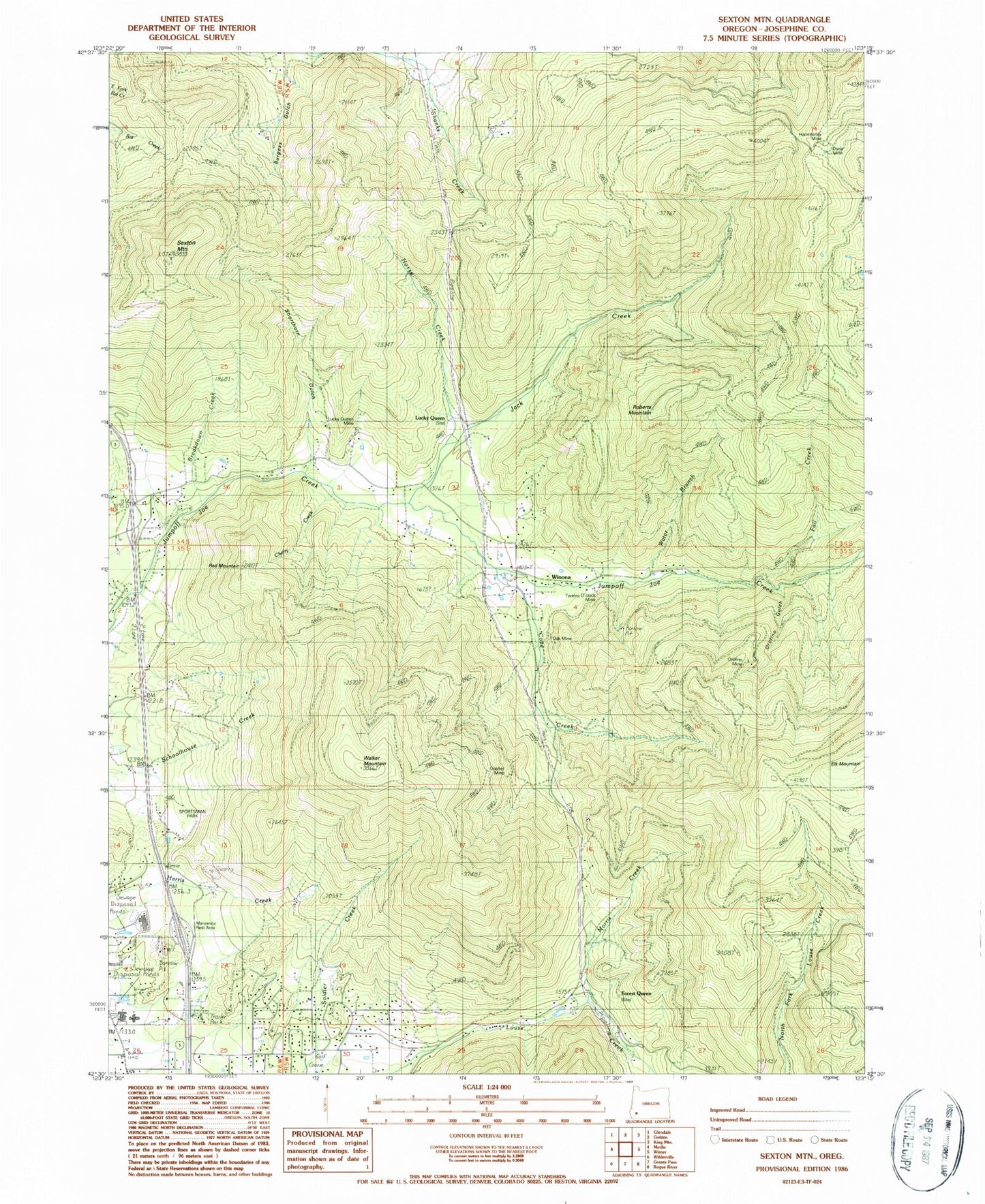
Classic USGS Sexton Mountain Oregon 7.5'x7.5' Topo Map
Couldn't load pickup availability
Historical USGS topographic quad map of Sexton Mountain in the state of Oregon. Map scale may vary for some years, but is generally around 1:24,000. Print size is approximately 24" x 27"
This quadrangle is in the following counties: Josephine.
The map contains contour lines, roads, rivers, towns, and lakes. Printed on high-quality waterproof paper with UV fade-resistant inks, and shipped rolled.
Contains the following named places: Baby Mine, Breakdown Creek, Burgess Gulch, Cherry Creek, Corliss Creek, Corn Creek, Cove Creek, Daisy Mine, Dunlap Creek, Fall Creek, Fleming Middle School, Fleming Middle School Sewage Treatment Plant, Forest Queen, Gopher Mine, Grants Pass Division, Hammersley Post Office, Hammersly Mine, Horse Creek, Jack Creek, Kettering, King Gulch, Lucky Queen, Lucky Queen Mine, Lucky Queen Post Office, Manzanita Elementary School, Manzanita Safety Rest Area, Morris Creek, Mountain Post Office, North Valley High School, Oak Mine, Orofino Gulch, Orofino Mine, Red Mountain, Roberts Mountain, Rural / Metro Fire Department Station 2, Sexton Mountain, Shorthorn Gulch, Twelve O'Clock Mine, Walker Mountain, Water Branch, Winona, Winona Post Office, ZIP Code: 97526


