MyTopo
Classic USGS Seymour Reservoir Montana 7.5'x7.5' Topo Map
Couldn't load pickup availability
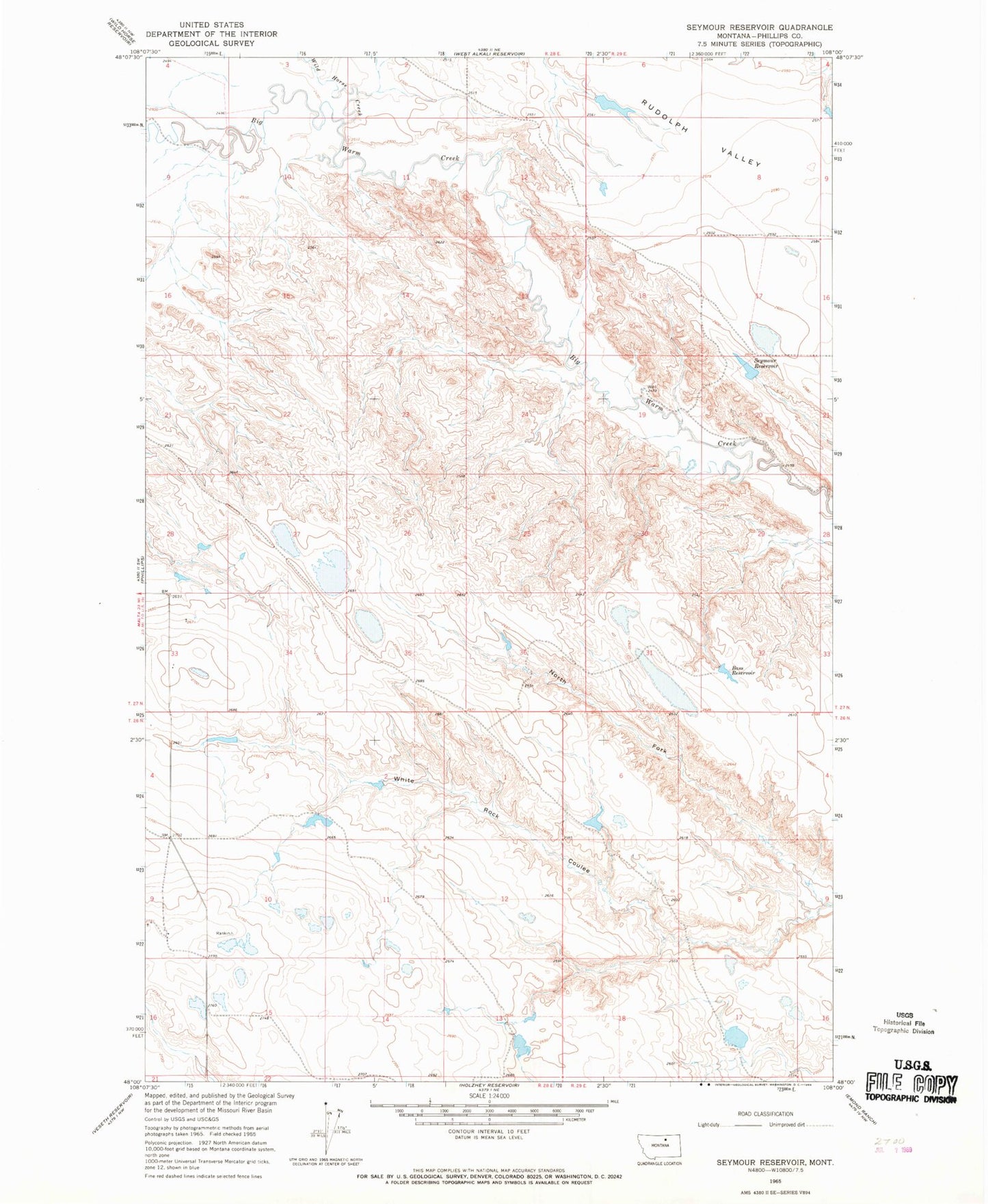
Historical USGS topographic quad map of Seymour Reservoir in the state of Montana. Map scale may vary for some years, but is generally around 1:24,000. Print size is approximately 24" x 27"
This quadrangle is in the following counties: Phillips.
The map contains contour lines, roads, rivers, towns, and lakes. Printed on high-quality waterproof paper with UV fade-resistant inks, and shipped rolled.
Contains the following named places: 27N29E19ACC_01 Well, Bass Reservoir, David DRUM Number 1 Dam, Halvor Number 2 Dam, J-5 Ranch Number 2 Dam, J-5 Ranch Number 3 Dam, North Fork White Rock Coulee, Rudolf Valley School, Schoolhouse Number 2 Dam, Seymour Reservoir, Seymour Reservoir Dam, White Rock Dam, White Rock School, Wild Horse Creek