MyTopo
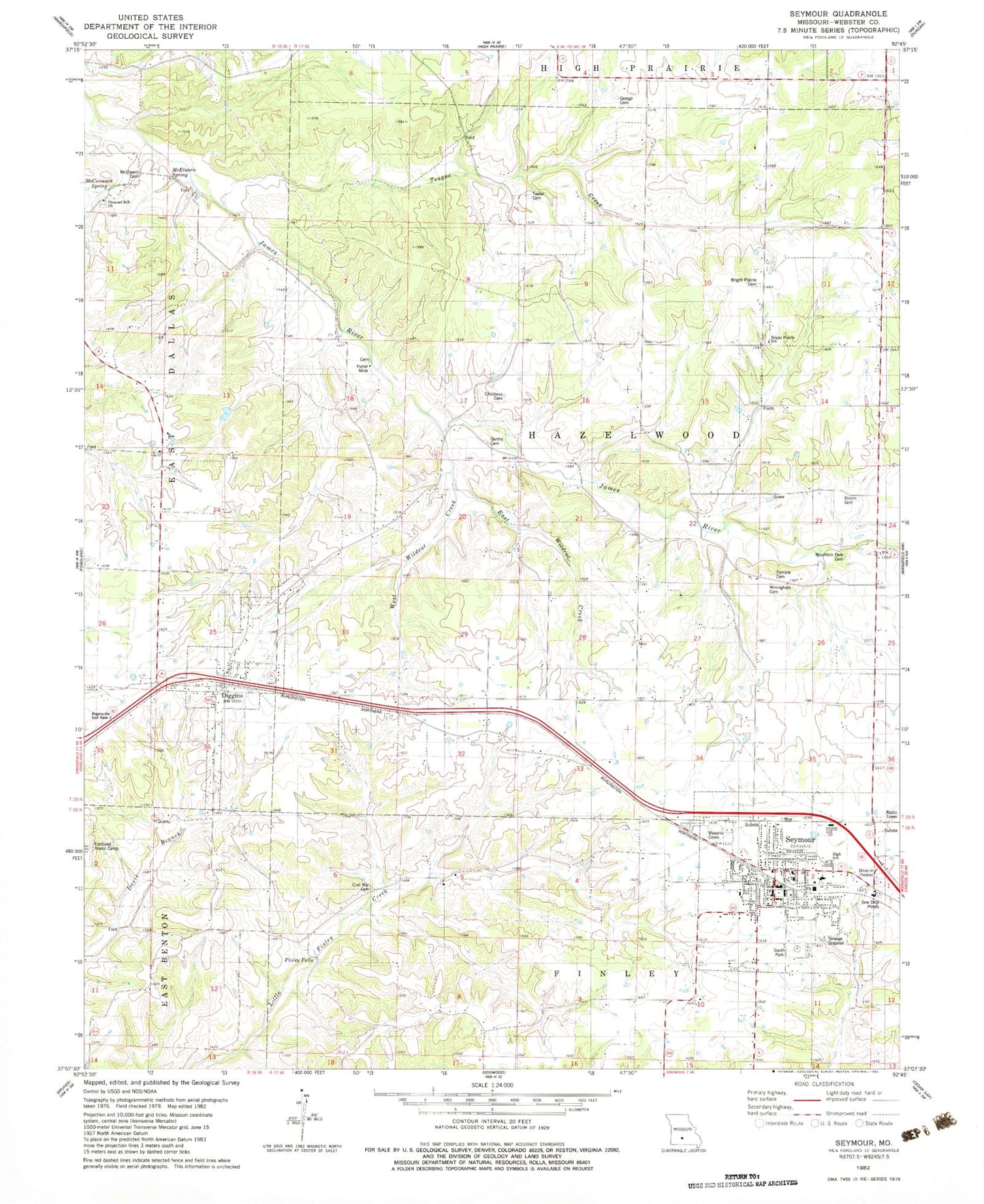
Classic USGS Seymour Missouri 7.5'x7.5' Topo Map
Couldn't load pickup availability
Historical USGS topographic quad map of Seymour in the state of Missouri. Map scale may vary for some years, but is generally around 1:24,000. Print size is approximately 24" x 27"
This quadrangle is in the following counties: Webster.
The map contains contour lines, roads, rivers, towns, and lakes. Printed on high-quality waterproof paper with UV fade-resistant inks, and shipped rolled.
Contains the following named places: Alberta School, Alcorn Cemetery, Bright Prairie Cemetery, Bright Prairie School, Burnett School, Childress Cemetery, City of Seymour, Civil War Cemetery, Diggins, Diggins Post Office, East Wildcat Creek, Finley Falls, Gentry Cemetery, Gentry School, George Cemetery, Liberty School, Masonic Cemetery, McCormack Spring, McElwain Cemetery, McElwain Spring, Mountain Dale, Mountain Dale Cemetery, Mountain Dale School, Pleasant Hill Church, Porter Mine, Seymour, Seymour Fire Department, Seymour Police Department, Seymour Post Office, Slack School, South Park, Southern Webster County Fire Protection District Station 2, Southern Webster County Fire Protection District Station 3, Teague Creek, Teague School, Township of Diggins, Trimble Cemetery, Village of Diggins, West Wildcat Creek, Winingham Cemetery, ZIP Code: 65746