MyTopo
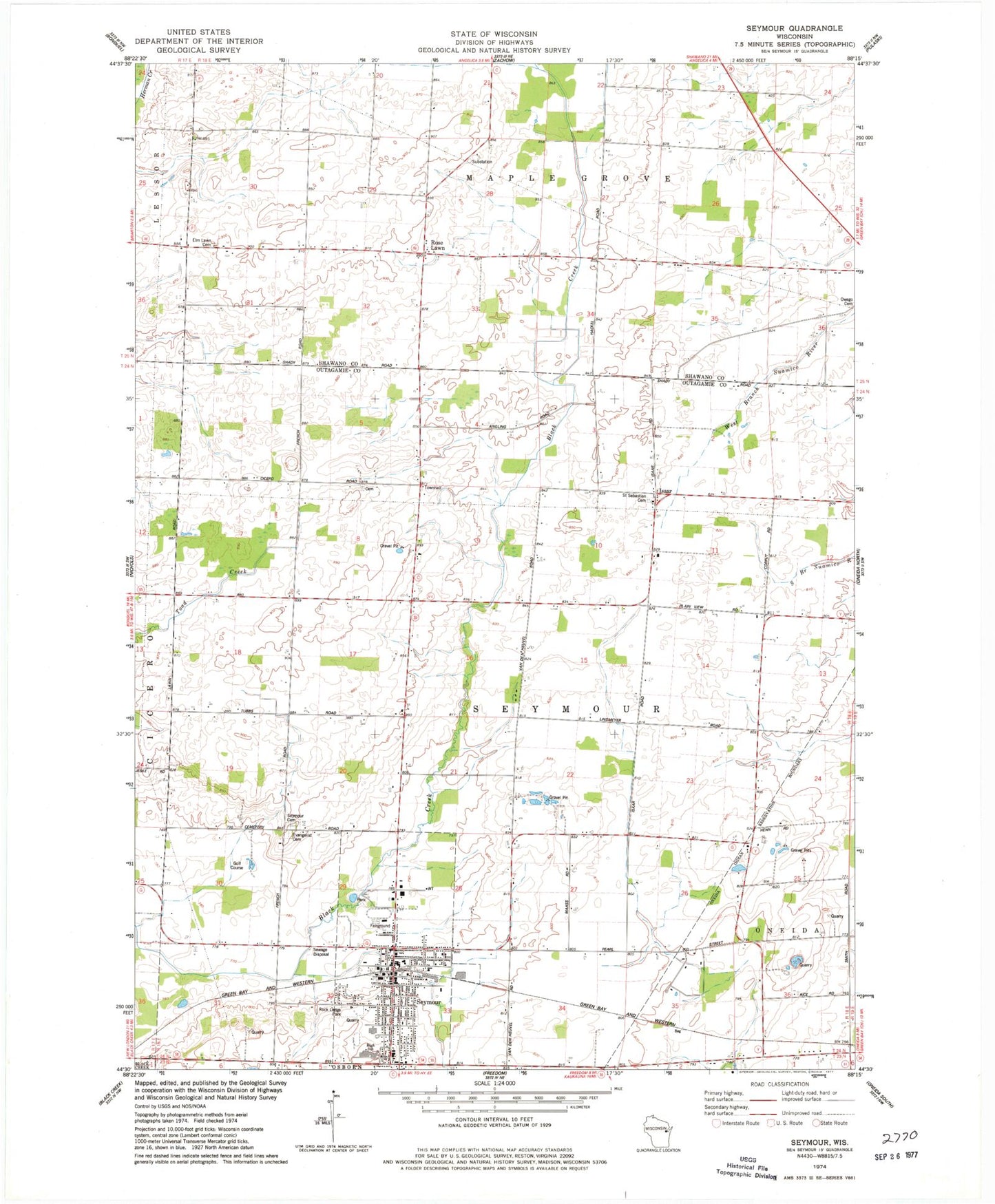
Classic USGS Seymour Wisconsin 7.5'x7.5' Topo Map
Couldn't load pickup availability
Historical USGS topographic quad map of Seymour in the state of Wisconsin. Map scale may vary for some years, but is generally around 1:24,000. Print size is approximately 24" x 27"
This quadrangle is in the following counties: Outagamie, Shawano.
The map contains contour lines, roads, rivers, towns, and lakes. Printed on high-quality waterproof paper with UV fade-resistant inks, and shipped rolled.
Contains the following named places: Assembly of God Church, Cherry Hill School, City of Seymour, Crystal Spring School, Elm Lawn Cemetery, Emmanuel Lutheran Cemetery, Idlewild School, Isaar, Nelson Quarry, North Seymour School, Oak Leaf School, Owego Cemetery, Pine Grove School, Plain View School, Rock Ledge Elementary School, Rock Ledge Park, Rose Lawn, Saint John the Baptist Catholic Church, Saint John the Baptist Grade School, Saint Sebastian Catholic Church, Saint Sebastian Cemetery, Seymour, Seymour Cemetery, Seymour Fire and Rescue Department, Seymour High School, Seymour Middle School, Seymour Police Department, Seymour Post Office, Seymour Township Volunteer Fire Department, Seymour Wastewater Treatment Plant, Town of Seymour, Woodlawn School, ZIP Code: 54165