MyTopo
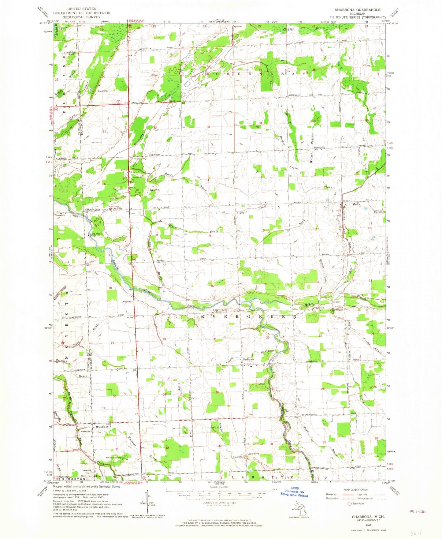
Classic USGS Shabbona Michigan 7.5'x7.5' Topo Map
Couldn't load pickup availability
Historical USGS topographic quad map of Shabbona in the state of Michigan. Map scale may vary for some years, but is generally around 1:24,000. Print size is approximately 24" x 27"
This quadrangle is in the following counties: Sanilac, Tuscola.
The map contains contour lines, roads, rivers, towns, and lakes. Printed on high-quality waterproof paper with UV fade-resistant inks, and shipped rolled.
Contains the following named places: Argyle Howey Drain, Bethany Christian School, Blade Drain, Bond Drain, Cass City State Game Area, Clark Drain, Craig Drain, Durkee Drain, Evergreen and Austin Drain, Evergreen Cemetery, Evergreen Park, Greenman Creek, Hay Creek, Heussner Drain, Holcomb Drain, Jackson Drain, Kramp Drain, Krapf Drain, McQueen Drain, Middle Branch Cass River, Mizpah Church, Nicol Family Cemetery, Novesta Church, Port Huron Camp, Pringle Drain, Proctor Drain, Shabbona, Shabbona Methodist Church, Shabonna Post Office, Shaws Lake, Stony Creek, Township of Evergreen, Vader Drain, Wait Drain, Watson Drain, Waun Drain, Wentworth Halcomb Drain, Wickware, Wickware Post Office, ZIP Code: 48426