MyTopo
Classic USGS Shackleford Missouri 7.5'x7.5' Topo Map
Couldn't load pickup availability
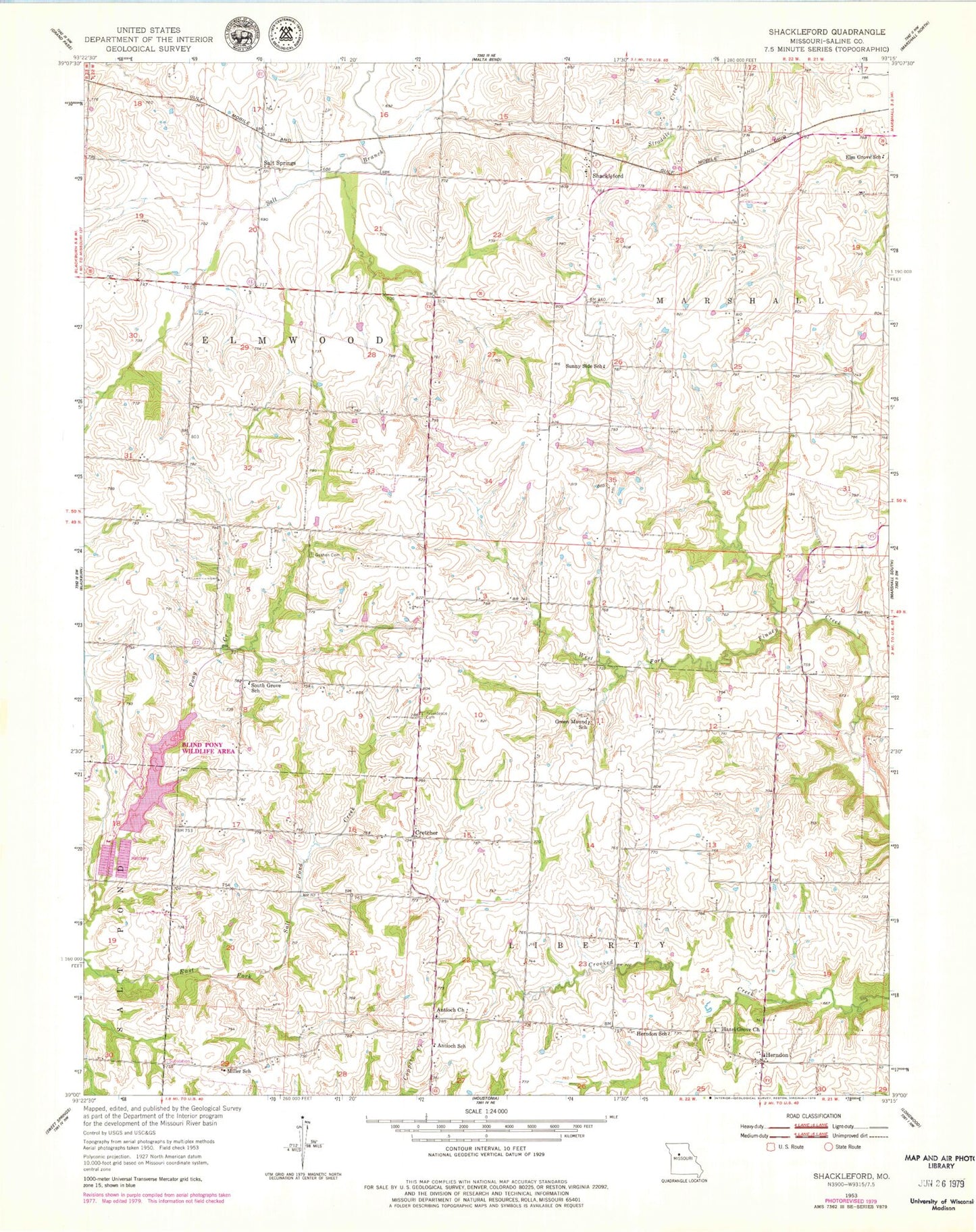
Historical USGS topographic quad map of Shackleford in the state of Missouri. Map scale may vary for some years, but is generally around 1:24,000. Print size is approximately 24" x 27"
This quadrangle is in the following counties: Saline.
The map contains contour lines, roads, rivers, towns, and lakes. Printed on high-quality waterproof paper with UV fade-resistant inks, and shipped rolled.
Contains the following named places: Antioch Church, Antioch School, Blind Pony Lake, Blind Pony Lake Dam, Blind Pony Wildlife Area, Cretcher, Elm Grove School, Fulkerson School, Goshen Cemetery, Green Mound School, Hazel Grove Church, Herndon, Herndon School, Miller School, Providence Cemetery, Salt Springs, Shackleford, South Grove School, Stonewall School, Sunny Side School