MyTopo
Classic USGS Shade Creek Montana 7.5'x7.5' Topo Map
Regular price
$16.95
Regular price
Sale price
$16.95
Unit price
per
Couldn't load pickup availability
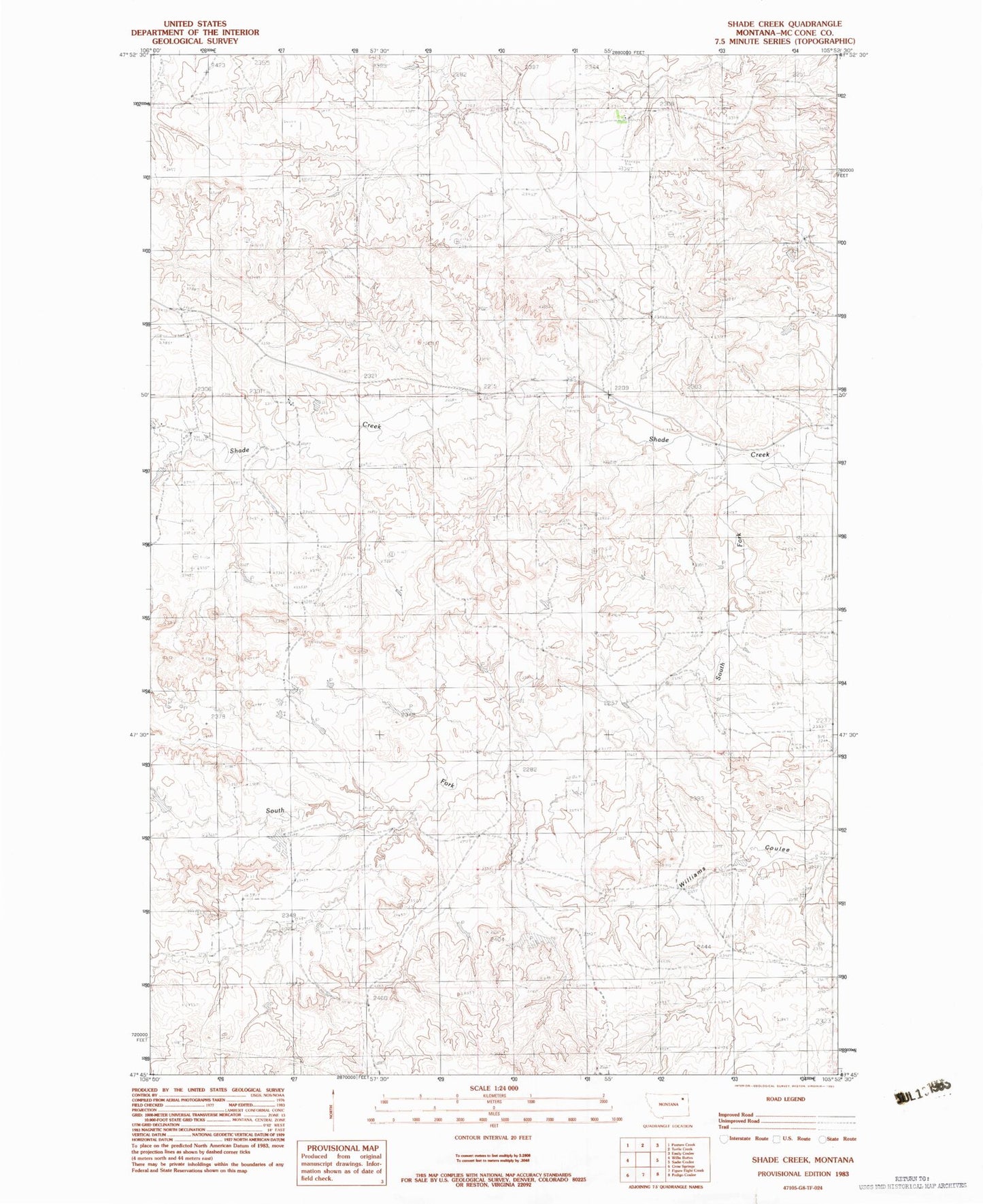
Historical USGS topographic quad map of Shade Creek in the state of Montana. Map scale may vary for some years, but is generally around 1:24,000. Print size is approximately 24" x 27"
This quadrangle is in the following counties: McCone.
The map contains contour lines, roads, rivers, towns, and lakes. Printed on high-quality waterproof paper with UV fade-resistant inks, and shipped rolled.
Contains the following named places: 23N45E12DCC_01 Well, 24N45E01BB__01 Well, 24N45E08ADAD01 Well, 24N45E21AABB01 Well, 24N45E25CACC01 Well, 25N45E33DC__01 Well, Christianson Dam, Christianson Reservoir, Ruff Creek, Ruff Dam, South Fork Shade Creek, Taylor Shade Dam, Torn Apart Dam