MyTopo
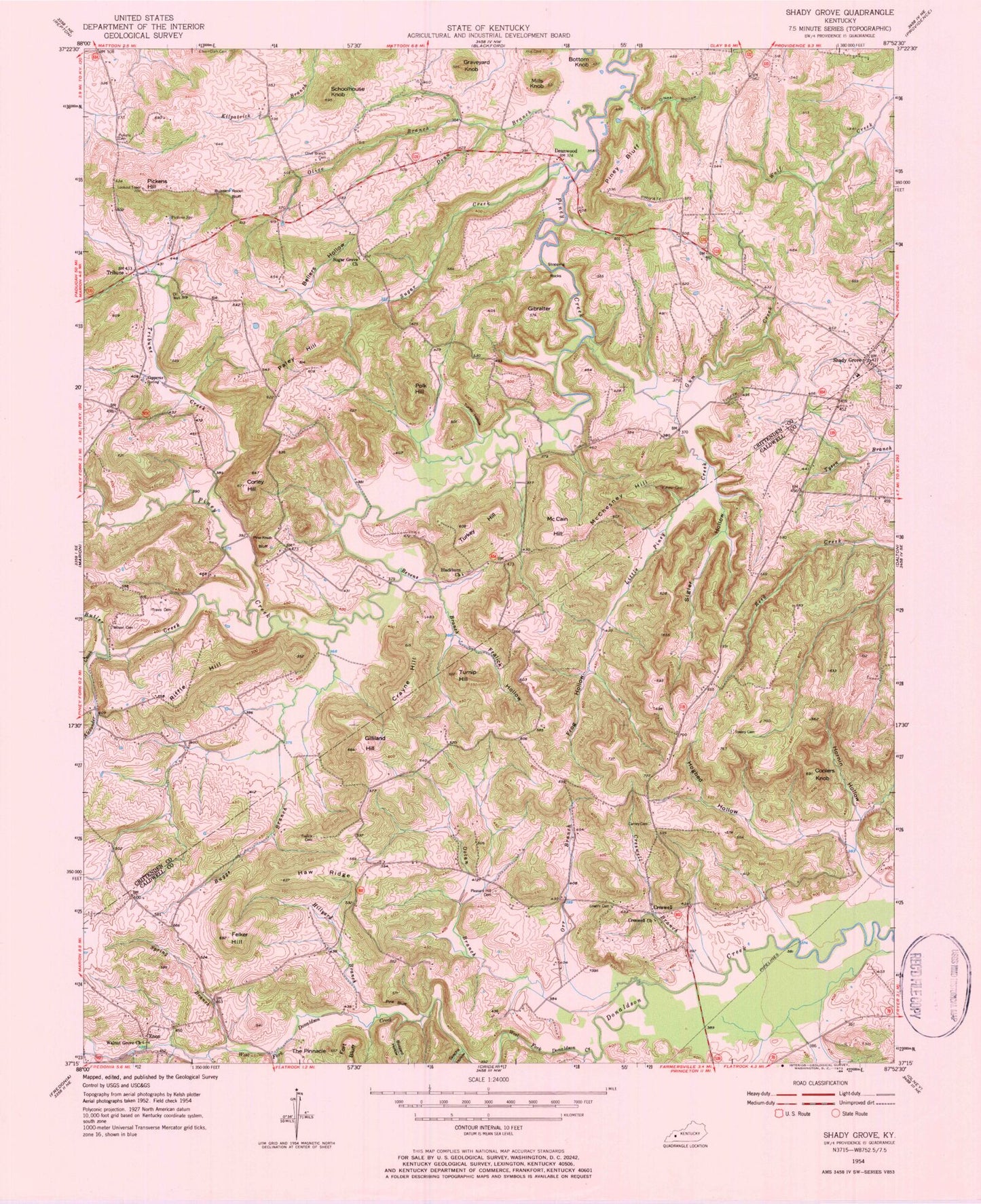
Classic USGS Shady Grove Kentucky 7.5'x7.5' Topo Map
Couldn't load pickup availability
Historical USGS topographic quad map of Shady Grove in the state of Kentucky. Typical map scale is 1:24,000, but may vary for certain years, if available. Print size: 24" x 27"
This quadrangle is in the following counties: Caldwell, Crittenden.
The map contains contour lines, roads, rivers, towns, and lakes. Printed on high-quality waterproof paper with UV fade-resistant inks, and shipped rolled.
Contains the following named places: Alexander Creek, Bellers Hollow, Bevens Branch, Blackburn Church, Bottom Knob, Buggs Branch, Butler Creek, Buzzard Hollow, Buzzard Roost Bluff, Carney Cemetery, Coolers Knob, Copperus Spring, Corley Hill, Crayne Hill, Creswell Branch, Creswell Baptist Church, Dean Branch, Felker Hill, Flat Rock Branch, Fralick Cemetery, Fralick Hollow, Frog Hollow, Gibralter, Gilliland Hill, Gosche Hollow, Graveyard Knob, Gum Creek, Haw Ridge, Hillyard Branch, Hogbed Hollow, Hornin Hollow, Little Piney Creek, Lowery Cemetery, McCain Hill, McChesney Hill, Mills Knob, Olive Branch, Olive Branch Cemetery, Orr Branch, Paley Hill, Pickens Cemetery, Pickens Hill, Pickens Spring, Pine Bluff, Pine Knob Bluff, Piney Bluff, Pleasant Hill Cemetery, Polk Hill, Riffle Hill, Schoolhouse Knob, Shady Grove, Sigler Hollow, Spring Branch, Stopping Rocks, Sugar Creek, Sugar Grove Church, The Pinnacle, Tom O'Neal Hollow, Towery Cemetery, Travis Cemetery, Tribune Creek, Turkey Hill, Turley Hollow, Turnip Hill, Walnut Grove Missionary Baptist Church, West Fork Donaldson Creek, Wilson Cemetery, Creswell, Deanwood, Enon, Tribune, Shady Grove Volunteer Fire Department, Fort Spring, Blackburn (historical)


