MyTopo
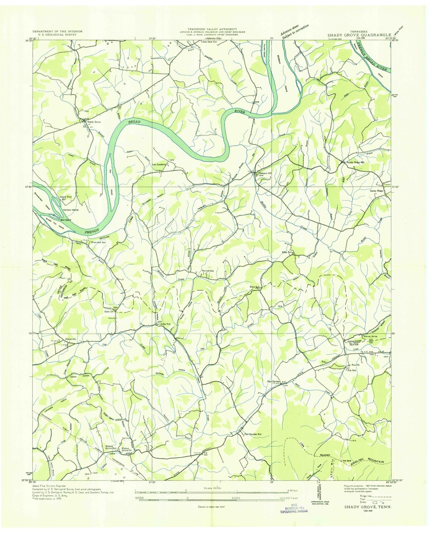
Classic USGS Shady Grove Tennessee 7.5'x7.5' Topo Map
Couldn't load pickup availability
Historical USGS topographic quad map of Shady Grove in the state of Tennessee. Map scale may vary for some years, but is generally around 1:24,000. Print size is approximately 24" x 27"
This quadrangle is in the following counties: Jefferson, Sevier.
The map contains contour lines, roads, rivers, towns, and lakes. Printed on high-quality waterproof paper with UV fade-resistant inks, and shipped rolled.
Contains the following named places: Ailey Chapel, Ailey School, Aileys Chapel Cemetery, Allen Cemetery, Allensville, Alley Ford, Alley Ford Shoals, Anderson Branch, Big Branch, Bird Island, Boat Gunnel Hollow, Brown Cemetery, Cawoods Shoal, Chambers Branch, Commissioner District 2, Commissioner District 3, Dentons Shoals, Derrick Cemetery, Douglas Lake, Eden Cemetery, Eden Church, Ernest Fox Island, Fains Shoals, Fair Garden, Fair Garden Cemetery, Fairgarden Census Designated Place, Fairgarden School, Finchum Cemetery, Finchum Hollow, Finchum Store, Flat Creek Campground, Fox, Fox Cemetery, Fox Church, Fox Island, Fox School, Foxes Store, Frye Branch, Gator Point Campground, Goose Creek, Happy Hollow, Harrison Islands, Harrison Shoals, Henderson Island, Henderson Island Wildlife Refuge, Hettie Creek, Hills Union Cemetery, Hills Union Church, Holbert Branch, Holbert Cemetery, Hunter Island, Inspiration Point Dock, Island Ford Mill, Jones Cemetery, Jones Chapel, Jones Chapel Cemetery, Jones Chapel School, Lakefront Dock, Lee Academy, Leeper Branch, Little Mountain, Long Hollow, Manning Branch, McCracken Branch, McGuire Creek, McMann Island, Miller Creek, Mountain View Dock, Muddy Creek, Muddy Hollow, Mullins Chapel, New Center Elementary School, Nichols Reef, Old Egypt, Parrot Church, Parrott School, Parrotts Chapel Cemetery, Patterson Branch, Patterson Cemetery, Patterson Hollow, Perry Branch, Pleasant Hill, Red Oak Knobs, Riverview School, Roaring Spring, Rollins Branch, Sandy Ridge, Sandy Ridge Branch, Sandy Ridge Mill, Schroder, Sevier County Volunteer Fire Department Station 2, Shadden Creek, Shady Grove, Shady Grove Cemetery, Shady Grove Dock, Silva Branch, Sims Cemetery, Sims Chapel Cemetery, Sims Church, Sims School, Slatey Creek, Smoky View Campground, Stafford Cemetery, Sugar Camp Hollow, Swann Cemetery, Swann Island, Swanns Island Shoals, Tater Knob, Terry Point Boat Dock, Terry Point Campground, The Sink, Walnut Grove, Walnut Grove Baptist Church, Walnut Grove Branch, Walnut Grove Cemetery, Walnut Grove School, Weaver Dock, Wells Branch, ZIP Code: 37725


