MyTopo
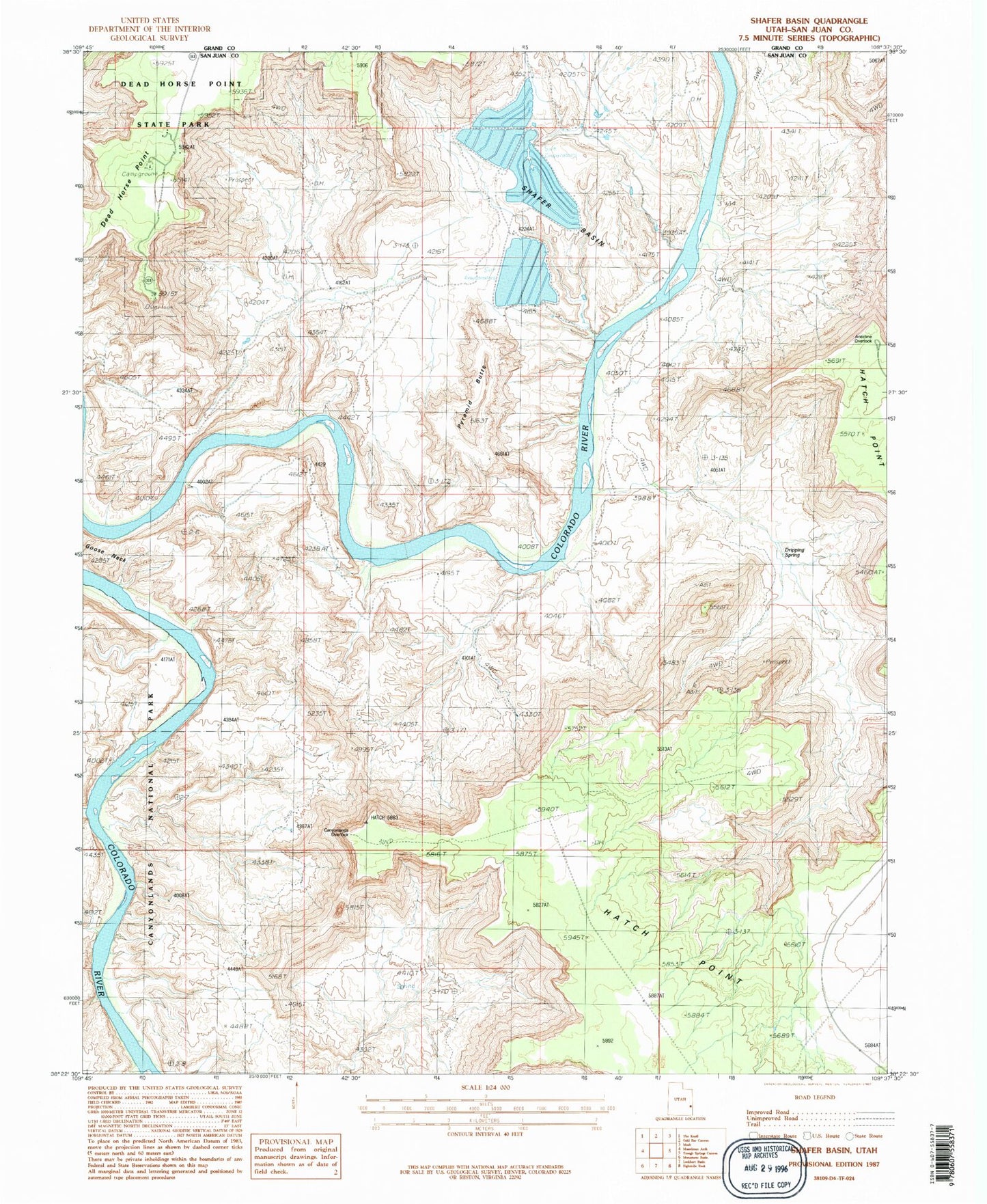
Classic USGS Shafer Basin Utah 7.5'x7.5' Topo Map
Couldn't load pickup availability
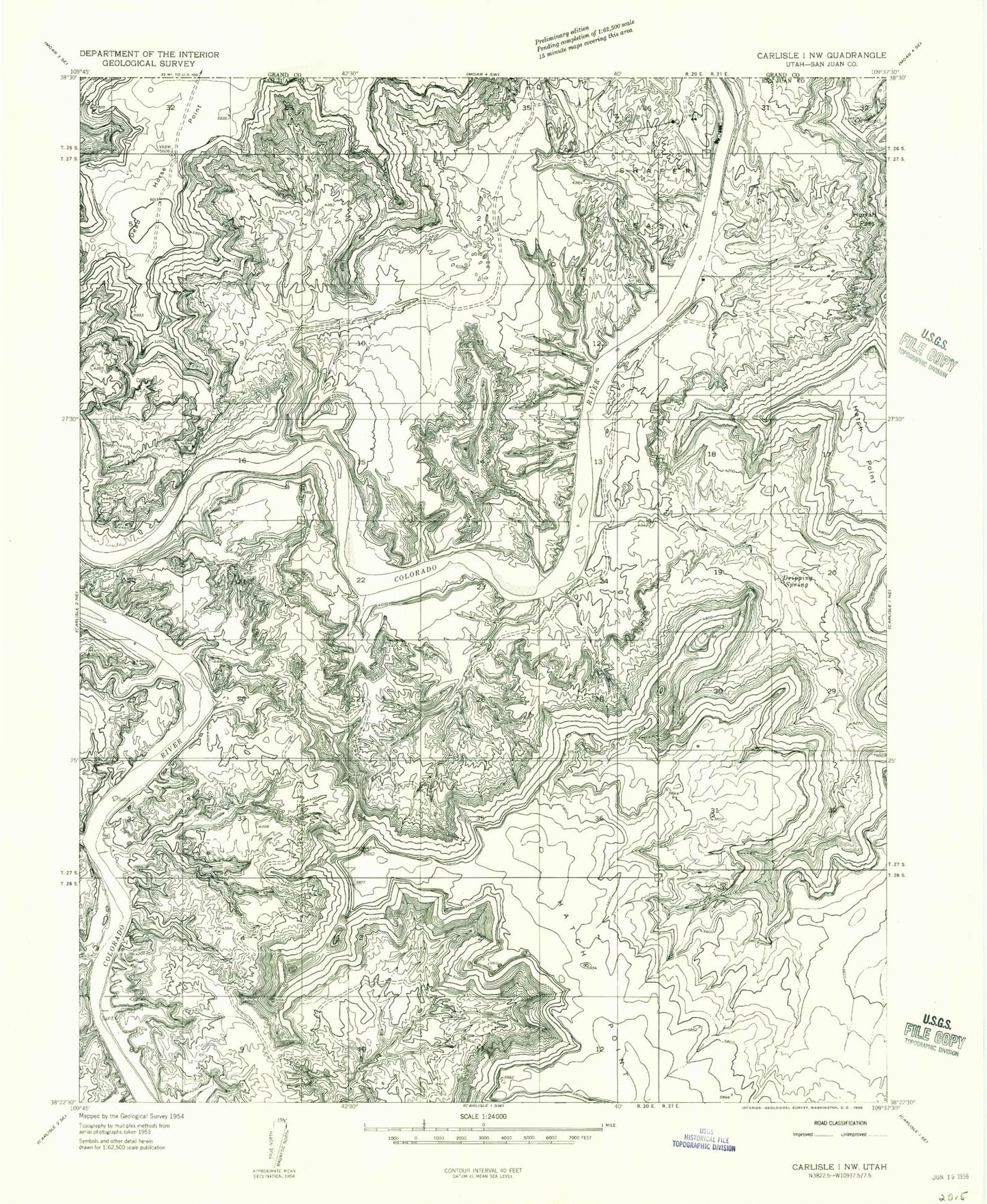
Historical USGS topographic quad map of Shafer Basin in the state of Utah. Typical map scale is 1:24,000, but may vary for certain years, if available. Print size: 24" x 27"
This quadrangle is in the following counties: Grand, San Juan.
The map contains contour lines, roads, rivers, towns, and lakes. Printed on high-quality waterproof paper with UV fade-resistant inks, and shipped rolled.
Contains the following named places: Dead Horse Point, Dripping Spring, Hurrah Pass, Shafer Basin, TexasGulf Potash Pond Three B, TexasGulf Potash Pond Three B Dam, TexasGulf Potash Pond Three A, TexasGulf Potash Pond Three A Dam, TexasGulf Potash Pond Two N, TexasGulf Potash Pond Two N Dam, TexasGulf Potash Pond Two G, TexasGulf Potash Pond Two G Dam, TexasGulf Potash Pond One A, TexasGulf Potash Pond One A Dam, Little Bridge Canyon, Musselman Canyon, Anticline Campground, Canyonlands Overlook, Dead Horse Point Campground, Dead Horse Point Overlook, Dead Horse Point State Park Visitor Center, Frank Shafer Number 1 Oil Well, J H Shafer Number 1 Oilwell, Pyramid Butte, Anticline Overlook, United Nations Tablet (not official), Caveman Ranch Airport