MyTopo
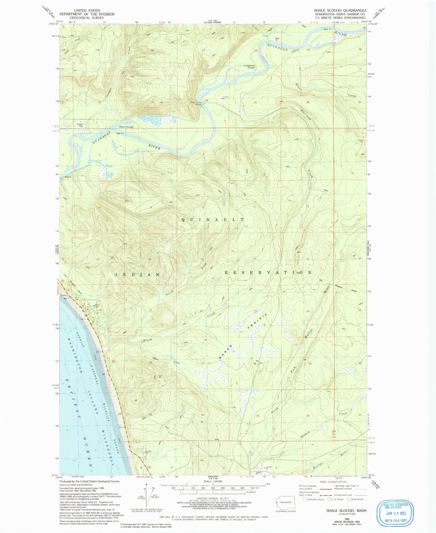
Classic USGS Shale Slough Washington 7.5'x7.5' Topo Map
Couldn't load pickup availability
Historical USGS topographic quad map of Shale Slough in the state of Washington. Map scale may vary for some years, but is generally around 1:24,000. Print size is approximately 24" x 27"
This quadrangle is in the following counties: Grays Harbor.
The map contains contour lines, roads, rivers, towns, and lakes. Printed on high-quality waterproof paper with UV fade-resistant inks, and shipped rolled.
Contains the following named places: Baker Creek, Baker Prairie, California Slough, Canyon Creek, Chow Chow Bridge, Halbert Creek, Mounts Creek, No Name Creek, North Fork Wreck Creek, O'Took Creek, Qui-nai-elt Village Census Designated Place, Railroad Creek, Santiago Census Designated Place, Shale Slough, Wreck Creek, ZIP Code: 98587