MyTopo
Classic USGS Shamrock Creek Oregon 7.5'x7.5' Topo Map
Regular price
$16.95
Regular price
Sale price
$16.95
Unit price
per
Couldn't load pickup availability
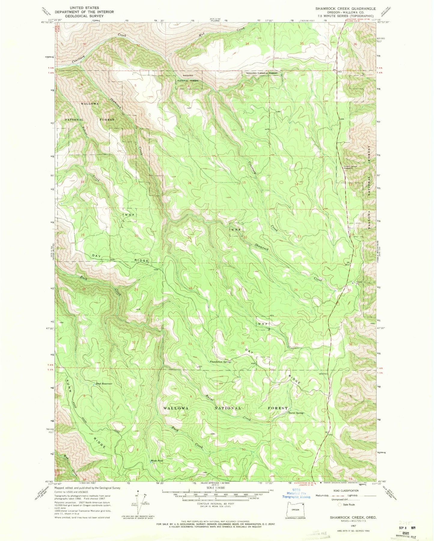
Historical USGS topographic quad map of Shamrock Creek in the state of Oregon. Map scale may vary for some years, but is generally around 1:24,000. Print size is approximately 24" x 27"
This quadrangle is in the following counties: Wallowa.
The map contains contour lines, roads, rivers, towns, and lakes. Printed on high-quality waterproof paper with UV fade-resistant inks, and shipped rolled.
Contains the following named places: Appleton Post Office, Burnt Creek, Burnt Spring, Day Ridge, Flora Division, Foundation Spring, Joseph Canyon Viewpoint, Mud Creek, Red Fir Spring, Reed Reservoir, Shamrock Creek, Wade Pond